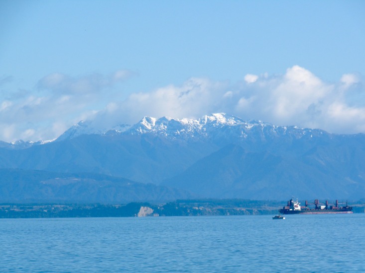
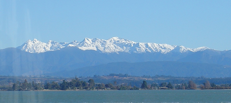
Mount Arthur Guide
- Elevation: 1795
- Difficulty: -
- Best months to climb: -
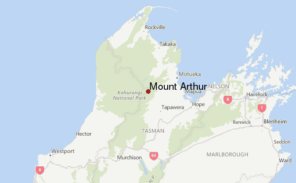
- Convenient center: Motueka
Mount Arthur climbers Notes
Peter from NEW ZEALAND writes:
Easy poled route from Flora car park, which is accessed from Motueka river valley. 3-4 hours each way.
[Editor writes: sometimes the road is closed because of slips and occasionally because of heavy snow or fallen branches, in which case there is an alternative but much longer route from the Takaka Valley, passing Asbestos Cottage, Lower Junction, and via the edge of the Tablelands]
2015-10-18 |
Click here to submit your own climbing note for Mount Arthur
|
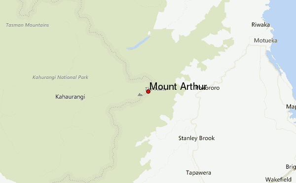
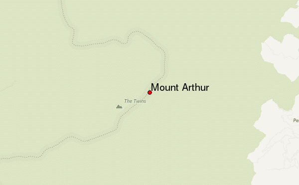
Select Mount Arthur Location Map Detail:
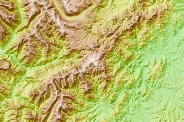
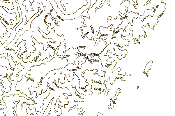
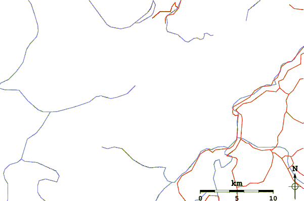
Use this relief map to navigate to mountain peaks in the area of Mount Arthur.
10 other mountain peaks closest to Mount Arthur:
 Mount Arthur – Climbing, Hiking & Mountaineering information


