سن بران Guide
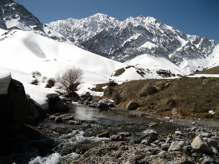
سن بران
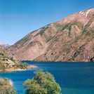
Photo credit: HAMIDREZA.TAHMASEBI
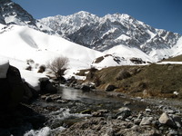
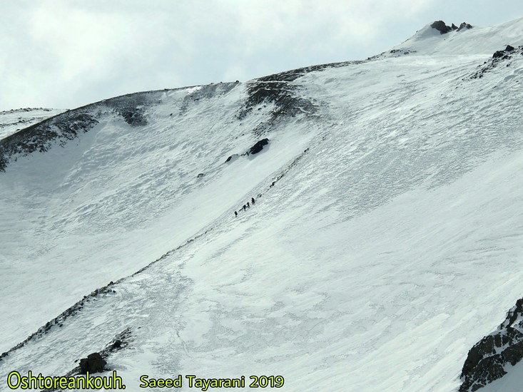
سن بران
Photo credit: ahmad reza safari
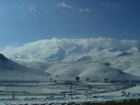
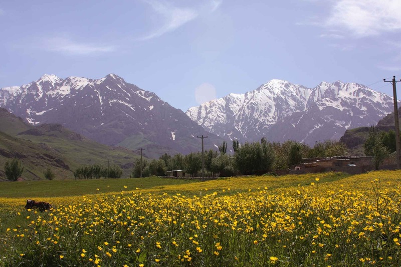
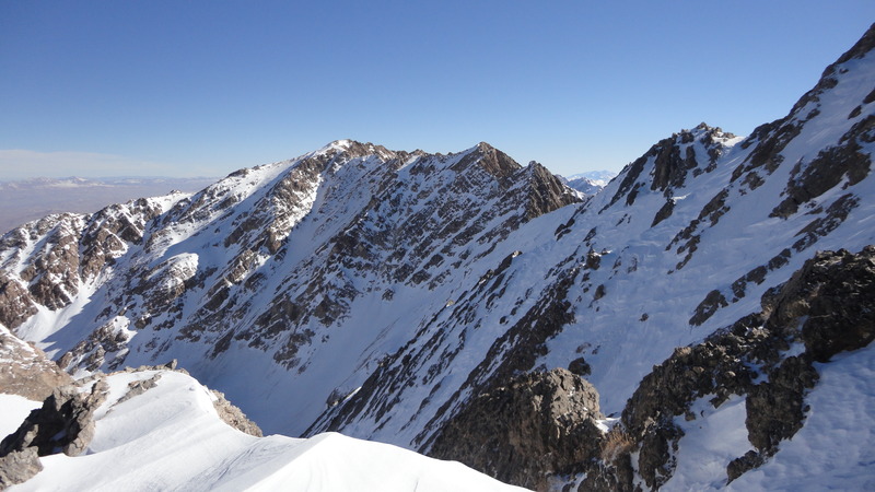
سن بران
Photo credit: ahmad reza safari
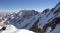
سن بران
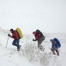
Photo credit: ahmad reza safari
- Elevation: 4150
- Difficulty: Technical
- Best months to climb: May, June, July, August, September
- Convenient center: Darband village
سن بران climbers Notes
hajizadeh from IRAN writes:
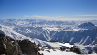
Oshtoran Kooh, Oshtoran-Kooh, Oshtoran Kouh, Oshtoran Kuh or Oshtoran Kouh is a massive sub range of Zagros located in Lorestan province about 500Km far from Tehran, about 18Km south-west to Azna city.Oshtoran Kooh is a long straight ridge line with the natural north-west to south-east orientation of Zagros range that expands to Chagha-Gorg area at south. Unlike the Alborz range that almost all of the ridges and sub ranges stick together at a high pass with a compact form seems like Zagros range ridge lines and sub ranges like Oshtoran kooh, Zard Kooh, Dena,... have a more discrete form, each being a massive block.
2012-06-20 |
Click here to read 9 more climbing notes for سن بران or submit your own
|
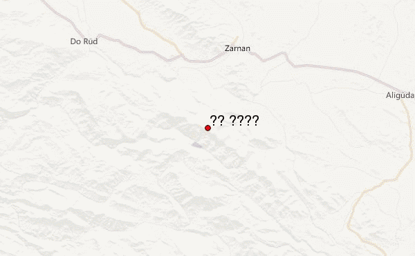
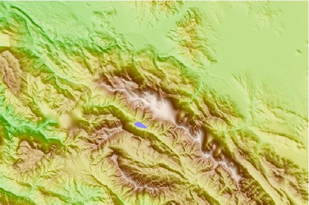
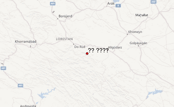
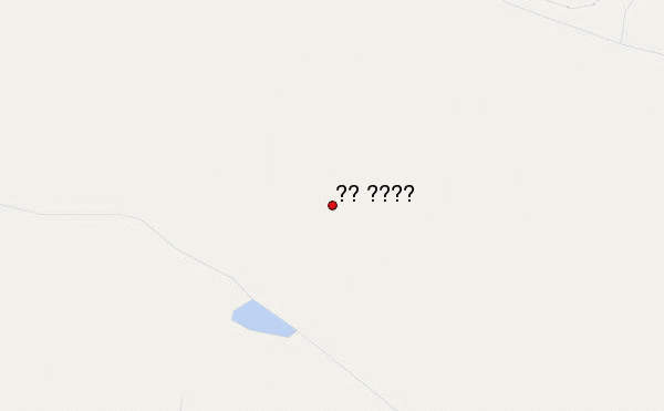
Select سن بران Location Map Detail:
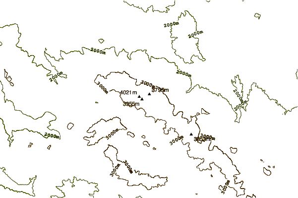
Use this relief map to navigate to mountain peaks in the area of سن بران.
10 other mountain peaks closest to سن بران:
 سن بران (Sanboran (Oshtoran Kuh)) – Climbing, Hiking & Mountaineering information


