– Lat/Long: 34.39° N 47.42° E
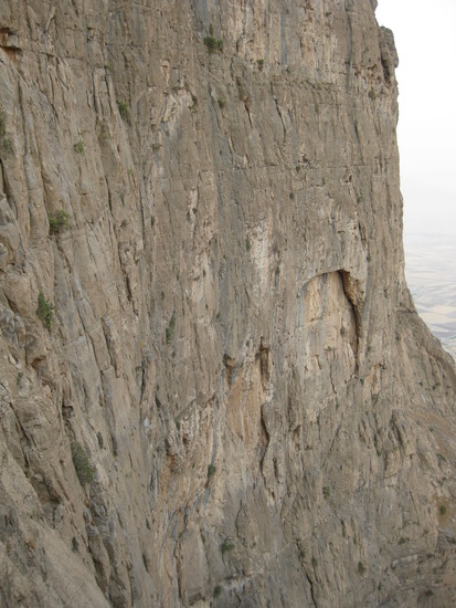
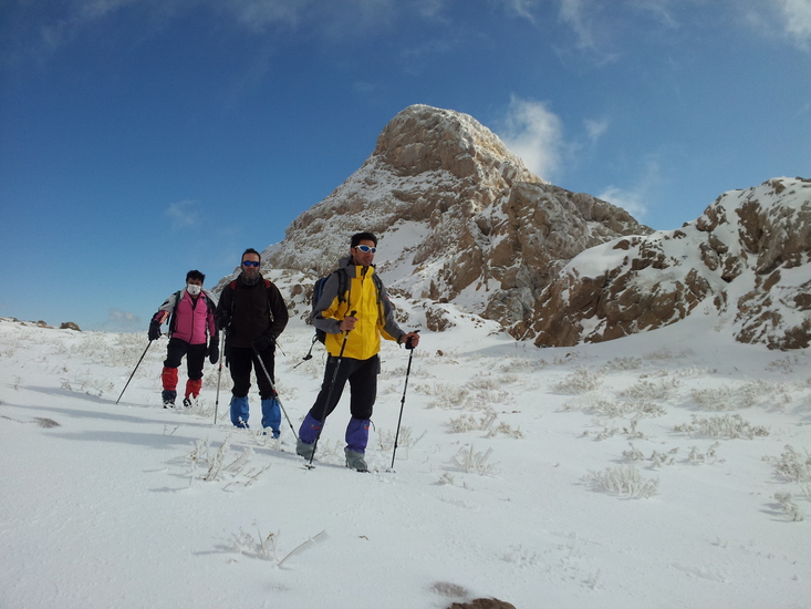
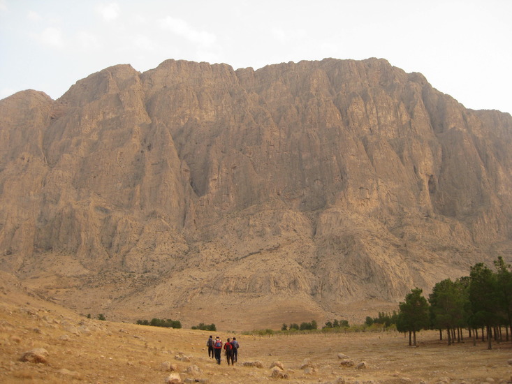
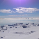
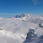
 Bisotoon (Mount Bisotoun) – Climbing, Hiking & Mountaineering information

Bisotoon Guide
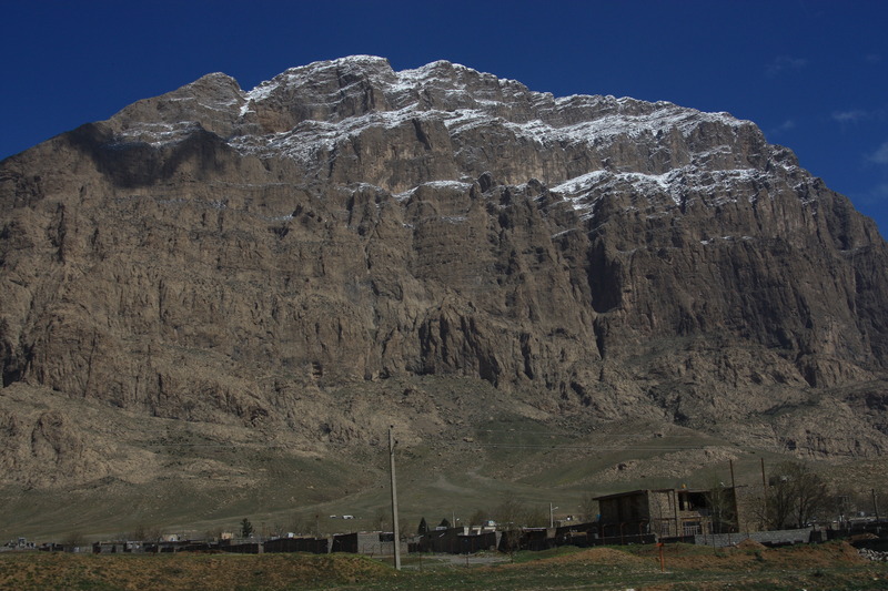
- Elevation: 2650
- Difficulty: -
- Best months to climb: April, May, September, October
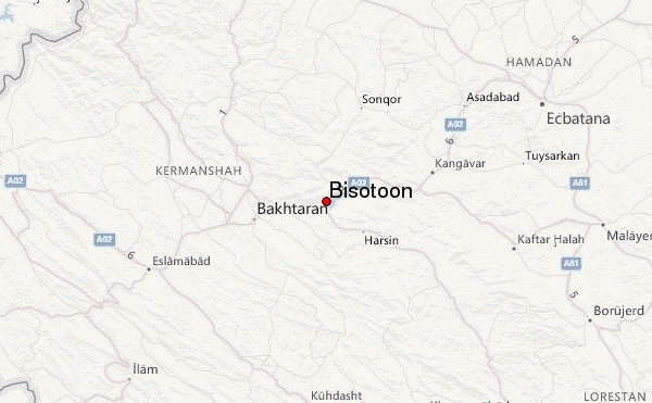
- Convenient center: Kermanshah
Bisotoon climbers Notes
|
| Select a
mountain summit from the menu |
||
|
Select a Mountain Summit
|
||
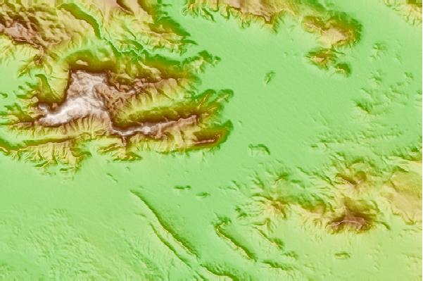
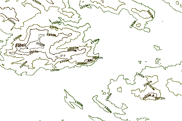
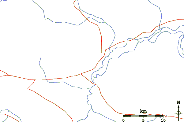
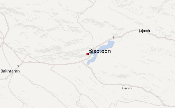
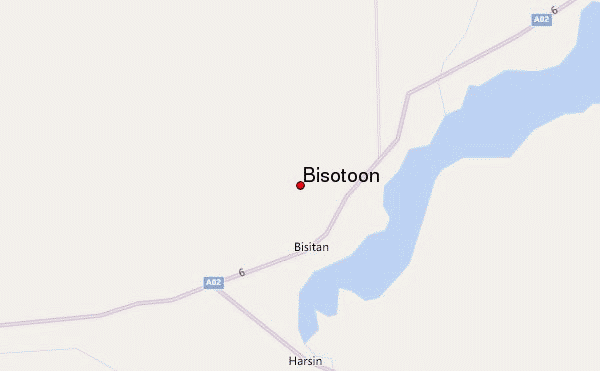
Use this relief map to navigate to mountain peaks in the area of Bisotoon.
10 other mountain peaks closest to Bisotoon:
| 1. | Parâw (3415 m) | 16.4 km |
| 2. | Alvand (3570 m) | 25.3 km |
| 3. | Alvand (الوند) (3428 m) | 99.3 km |
| 4. | Garrin Mountain (Velash Peak) (3630 m) | 109.0 km |
| 5. | Awiar (2221 m) | 109.4 km |
| 6. | Shaho (3390 m) | 149.5 km |
| 7. | سن بران (4150 m) | 209.8 km |
| 8. | San-Boran (4150 m) | 209.8 km |
| 9. | Keyno (3701 m) | 250.9 km |
| 10. | هفت تنان (4070 m) | 303.4 km |