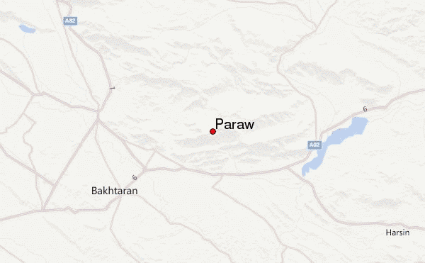
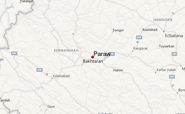
– Lat/Long: 34.42° N 47.24° E
 Parâw (Kuh e Parau) – Climbing, Hiking & Mountaineering information

Parâw Guide
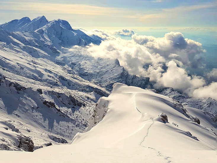
- Elevation: 3415
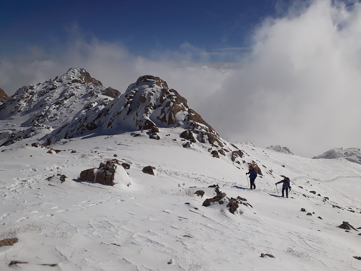
- Difficulty: Scramble
- Best months to climb: April, May, September, October
- Convenient center: Kermanshsh
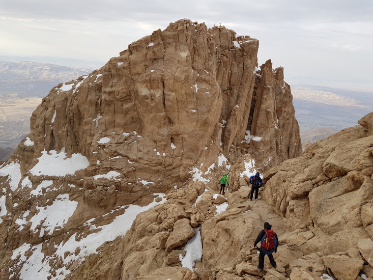
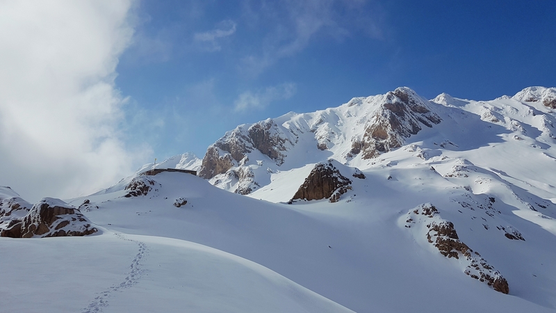
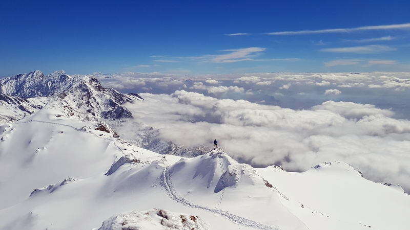
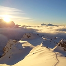
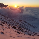
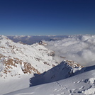
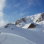
this peak is very beautiful.this peak is the north of kermanshah city. but this peak isn't seen from kermanshah.
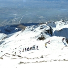
Parâw climbers NotesBe the first to submit your climbers note! Please submit any useful information about climbing Parâw that may be useful to other climbers. Consider things such as access and accommodation at the base of Parâw, as well as the logistics of climbing to the summit. |
| Select a
mountain summit from the menu |
||
|
Select a Mountain Summit
|
||
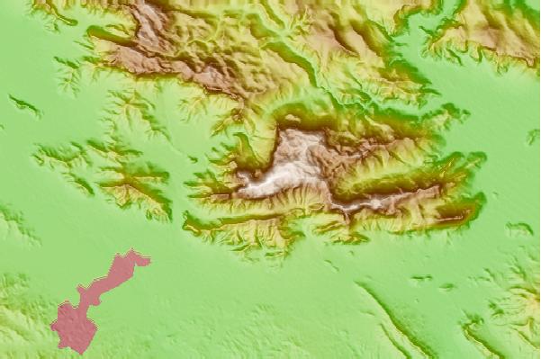
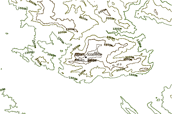
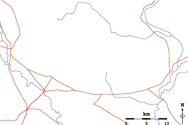
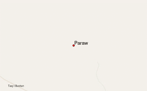
Use this relief map to navigate to mountain peaks in the area of Parâw.
10 other mountain peaks closest to Parâw:
| 1. | Bisotoon (2650 m) | 16.4 km |
| 2. | Alvand (3570 m) | 22.5 km |
| 3. | Awiar (2221 m) | 101.2 km |
| 4. | Alvand (الوند) (3428 m) | 113.0 km |
| 5. | Garrin Mountain (Velash Peak) (3630 m) | 124.9 km |
| 6. | Shaho (3390 m) | 135.8 km |
| 7. | سن بران (4150 m) | 225.1 km |
| 8. | San-Boran (4150 m) | 225.1 km |
| 9. | Keyno (3701 m) | 264.7 km |
| 10. | Kuhe Haji Ebrahim (3587 m) | 312.4 km |