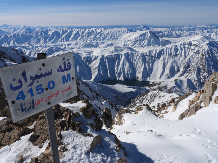
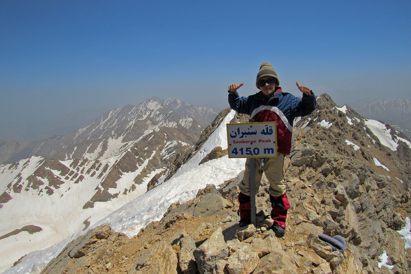
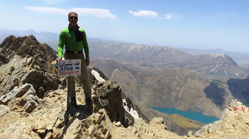
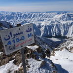
San-Boran Guide
- Elevation: 4150
- Difficulty: -
- Best months to climb: -
- Convenient center: -
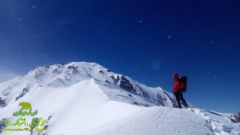
San-Boran climbers Notes
Abas tavakoli from IRAN writes:
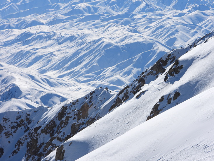
Greetings to all the loved ones who are going to climb the Sancran Mountains in winter, better equipped with full winter equipment, as well as sufficient knowledge for winter climbing in the area.
If you need any help or guidance, you can contact my mobile number
+989127944289
2019-01-18 |
Click here to submit your own climbing note for San-Boran
|
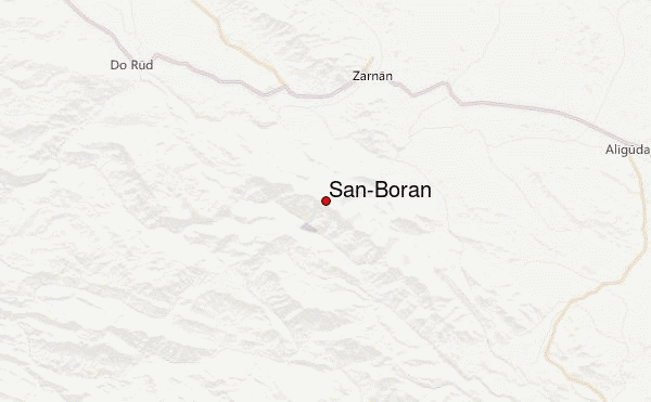
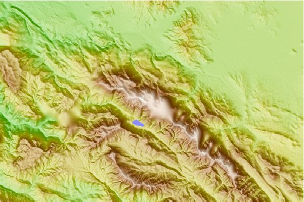
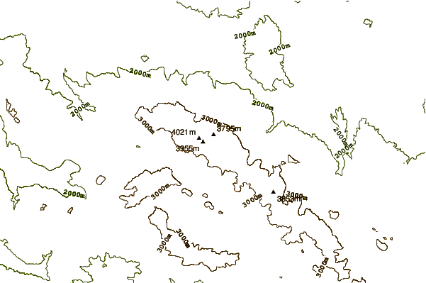
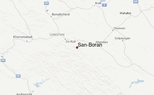
Select San-Boran Location Map Detail:
Use this relief map to navigate to mountain peaks in the area of San-Boran.
10 other mountain peaks closest to San-Boran:
 San-Boran (San-Boran (Oshtoran Kooh)) – Climbing, Hiking & Mountaineering information

