Nirekha Guide

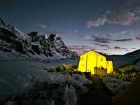
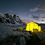
Nirekha
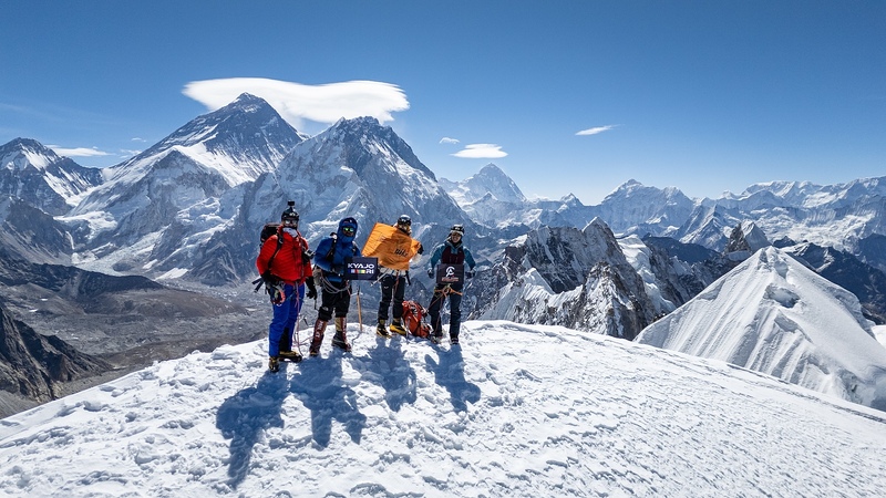
Photo credit: Alpinist Climber Expeditions
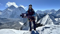
Nirekha
Photo credit: Alpinist Climber Expeditions
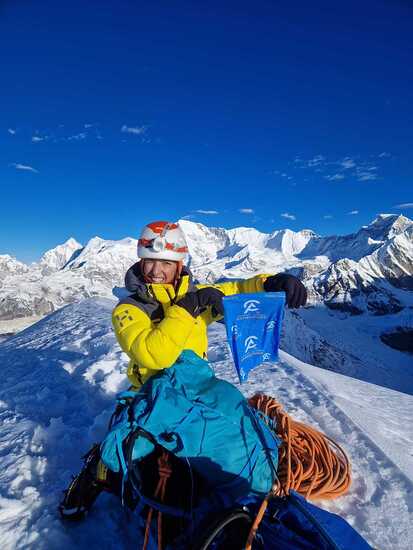
Nirekha
Photo credit: Alpinist Climber Expeditions - ACE

Nirekha
Photo credit: Alpinist Climber Expeditions - ACE
- Elevation: 6069
- Difficulty: -
- Best months to climb: -
- Convenient center: -
Nirekha climbers Notes
Altitude Junkies from NEPAL writes:
Nirikha expedition is a beginner peak but more adventurous than any other 6000m peak such as Lobuche and island peak and the expedition will place fixed ropes where necessary for the safety of all the climbers and staff. We have allocated 6 days at base camp and above to allow ample time for rope fixing as well as contingency days in case we experience bad weather.
The ascent follows a moraine ridge, leading to a blue ice section that is slightly vertical and requires the use of fixed ropes for safety. After crossing this section, climbers will navigate two additional short vertical climbs. At approximately 5,900 meters, there is a possibility of encountering crevasses, making careful route navigation will shortly lead to the summit.
Only one camp will be established on the mountain, with Camp One at 5,400 meters serving as the high camp.
2025-10-15 |
Click here to read 1 more climbing note for Nirekha or submit your own
|
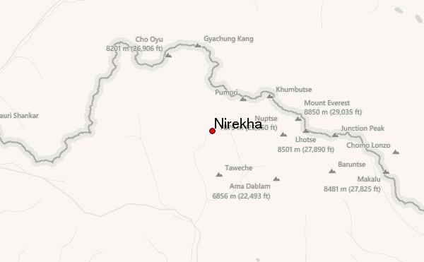
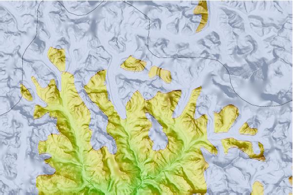
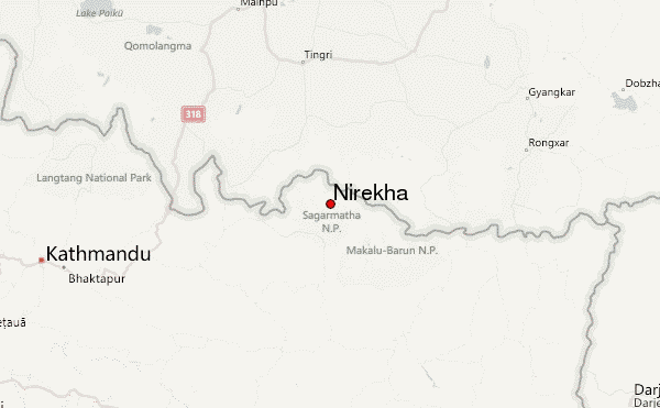
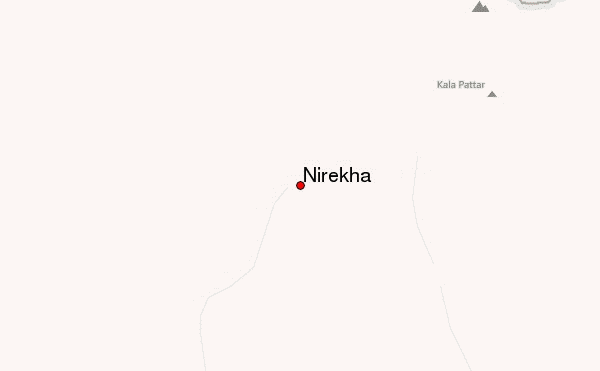
Select Nirekha Location Map Detail:
Use this relief map to navigate to mountain peaks in the area of Nirekha.
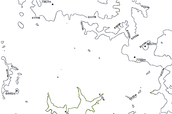
10 other mountain peaks closest to Nirekha:
 Nirekha – Climbing, Hiking & Mountaineering information


