– Lat/Long: 27.96° N 86.68° E
 Gokyo Ri – Climbing, Hiking & Mountaineering information

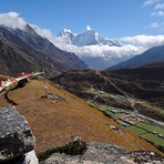
Gokyo Ri Guide
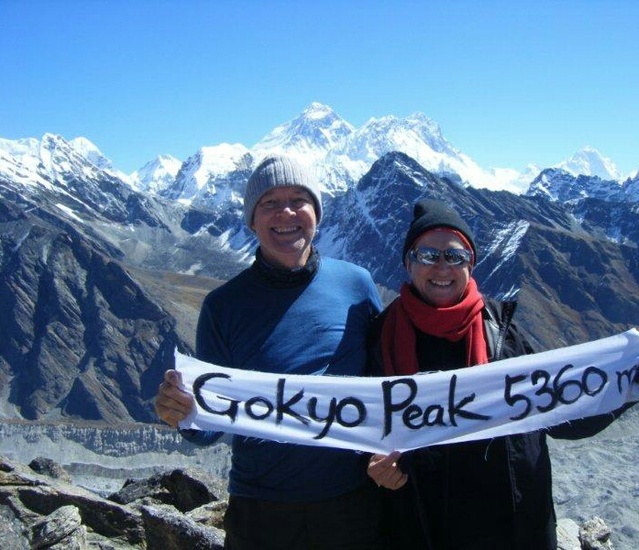
- Elevation: 5340
- Difficulty: Walk up
- Best months to climb: October, November
- Convenient center: Namche Bazaar
Gokyo Ri climbers NotesBe the first to submit your climbers note! Please submit any useful information about climbing Gokyo Ri that may be useful to other climbers. Consider things such as access and accommodation at the base of Gokyo Ri, as well as the logistics of climbing to the summit. |
| Select a
mountain summit from the menu |
||
|
Select a Mountain Summit
|
||
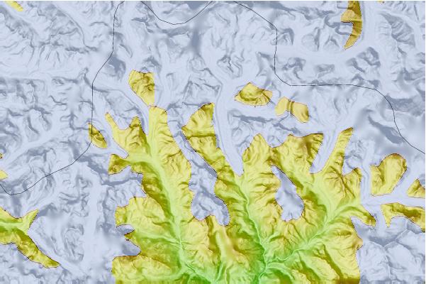
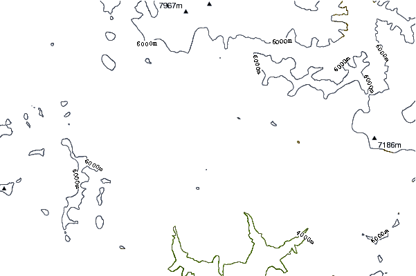
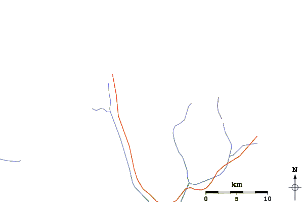
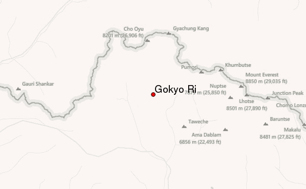
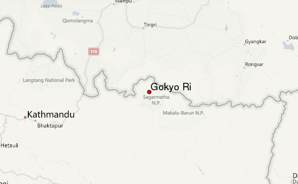
Use this relief map to navigate to mountain peaks in the area of Gokyo Ri.
10 other mountain peaks closest to Gokyo Ri:
| 1. | Pharilapcha (6017 m) | 5.2 km |
| 2. | Nirekha (6069 m) | 6.8 km |
| 3. | Cholatse (6440 m) | 9.7 km |
| 4. | Lobuche East (6119 m) | 10.6 km |
| 5. | Taboche (6542 m) | 12.0 km |
| 6. | Mount Khumbila (5761 m) | 12.4 km |
| 7. | Cho Aui or Nangpai Gosum I (7351 m) | 13.3 km |
| 8. | Kala Pattar (5545 m) | 13.5 km |
| 9. | Kala Patthar (5545 m) | 14.8 km |
| 10. | Pokhalde (5794 m) | 15.2 km |