Kala Patthar Guide
- Elevation: 5545
- Difficulty: -
- Best months to climb: -
- Convenient center: -
Kala Patthar climbers Notes
KANG YOUNG from SOUTH KOREA writes:
나는 10월 21일 대한민국 부산을 출발, 카투만두를 거쳐, 라메찹까지 지프를 타고 루클라로 경비행기로 이동한다.
약 8일차인 10월 28일 칼라파타르에 도착할 예정이고, 다음 날인 29일 EBC를 지날 것이다.
근처 유효한 기상예보를 부탁드린다.
I will leave Busan, South Korea, on October 21st, via Katumandu, and travel to Ramechap by jeep to Lucla by light plane.
It will arrive in Kala patthar on October 28, about day eight, and will pass EBC on the following day, the 29th.
Please give me a valid weather forecast nearby.
2024-09-19 |
Click here to submit your own climbing note for Kala Patthar
|
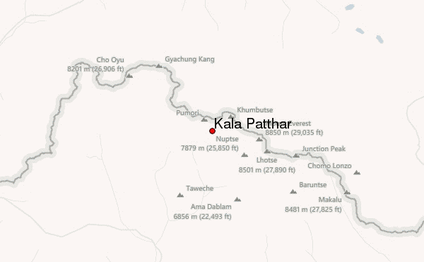
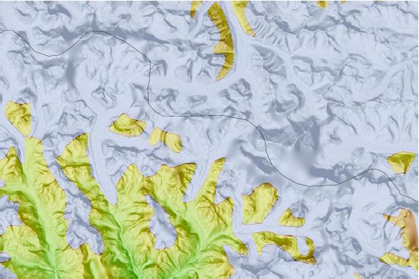
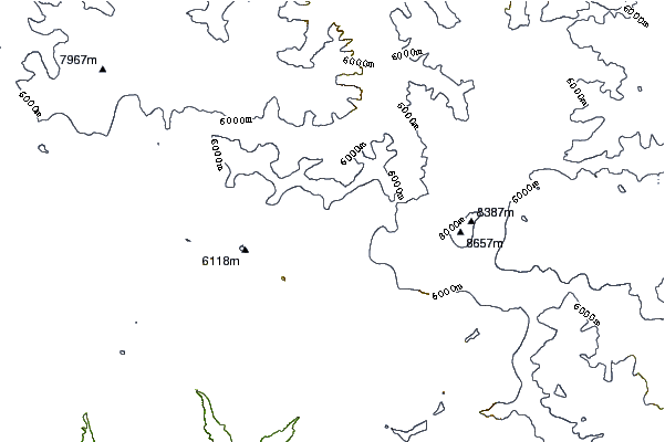
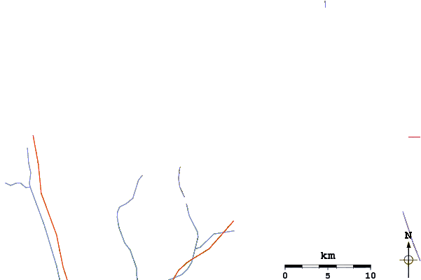
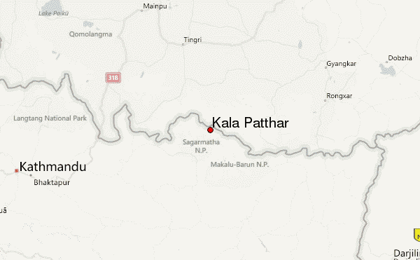
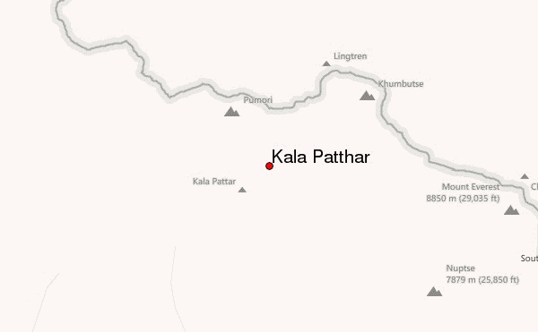
Select Kala Patthar Location Map Detail:
Use this relief map to navigate to mountain peaks in the area of Kala Patthar.
10 other mountain peaks closest to Kala Patthar:
 Kala Patthar – Climbing, Hiking & Mountaineering information