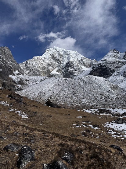
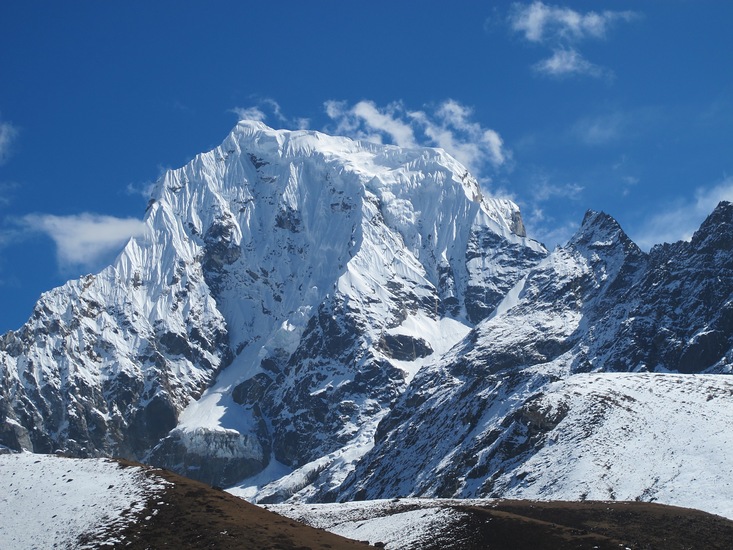
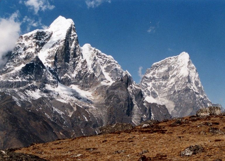
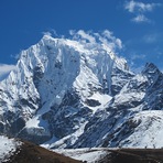
Cholatse Guide
- Elevation: 6440
- Difficulty: Major Mountain Expedition
- Best months to climb: September, October
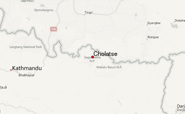
- Convenient center: Namche Bazar, Nepal
Cholatse climbers Notes
Altitude Junkies from NEPAL writes:
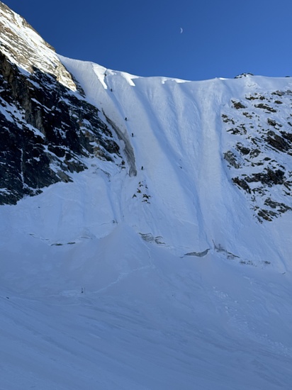
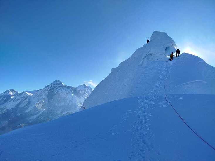
Cholatse is a technical peak and the expedition will place fixed ropes where necessary for the safety of all the climbers and staff. We have allocated 14 days at base camp and above to allow ample time for rope fixing as well as contingency days in case we experience bad weather.
We follow a cautious acclimatization schedule at base camp spending several nights in residence before taking our first trip onto the mountain.
The route will see us navigate a small icefall that leads lead us to a possible small rock section, depending on snow coverage, that will have fixed rope in place. This will then lead us up a long snow and ice arete staying on the Southwest Ridge in its entire length to the summit. We will utilize only one camp on the mountain, camp one at 5,700 meters.
2025-10-15 |
Click here to submit your own climbing note for Cholatse
|
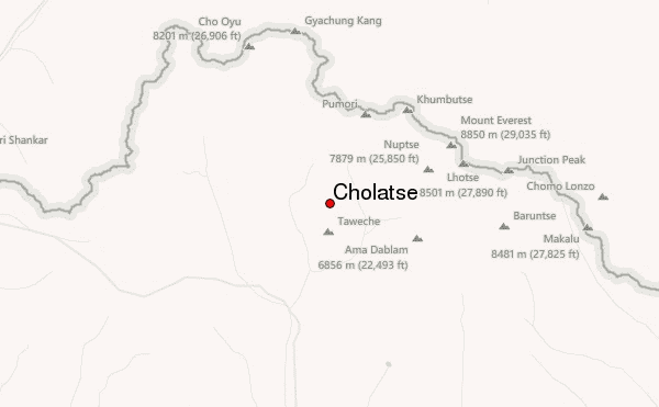
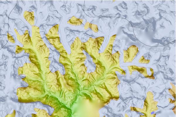
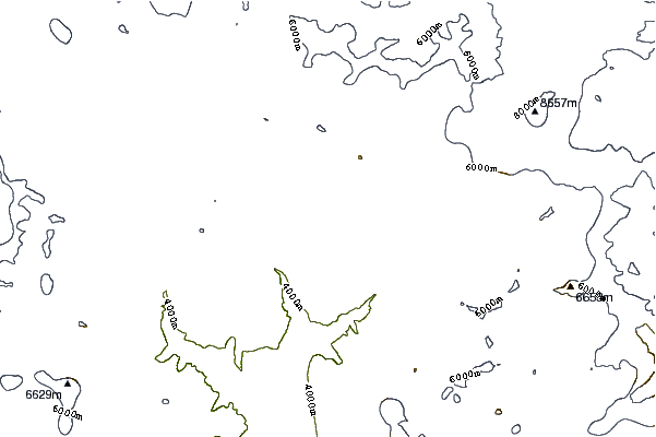
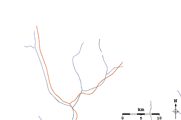
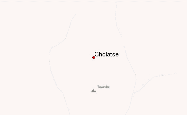
Select Cholatse Location Map Detail:
Use this relief map to navigate to mountain peaks in the area of Cholatse.
10 other mountain peaks closest to Cholatse:
 Cholatse – Climbing, Hiking & Mountaineering information


