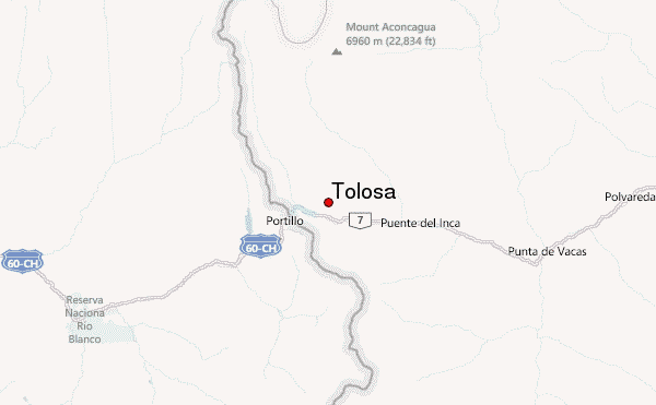
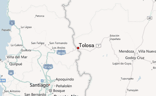
– Lat/Long: 32.80° S 70.03° W
 Tolosa – Climbing, Hiking & Mountaineering information

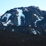
Tolosa Guide
- Elevation: 5432
- Difficulty: Scramble
- Best months to climb: January, February, March, November, December
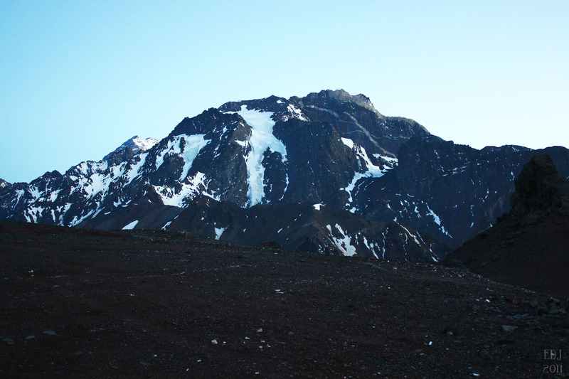
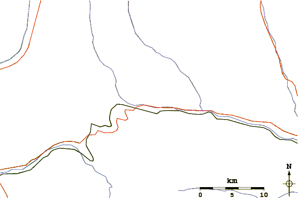
- Convenient center: Las Cuevas
Tolosa climbers Notes
|
| Select a
mountain summit from the menu |
||
|
Select a Mountain Summit
|
||
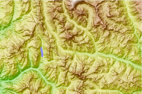
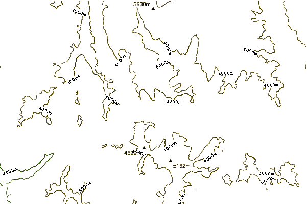
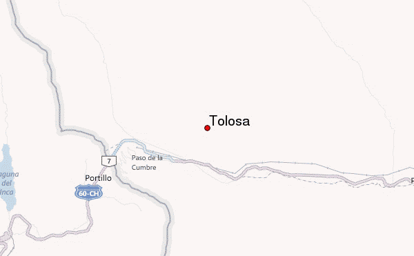
Use this relief map to navigate to mountain peaks in the area of Tolosa.
10 other mountain peaks closest to Tolosa:
| 1. | Almacenes (5100 m) | 12.2 km |
| 2. | Cerro Alto Rio Blanco (5350 m) | 14.9 km |
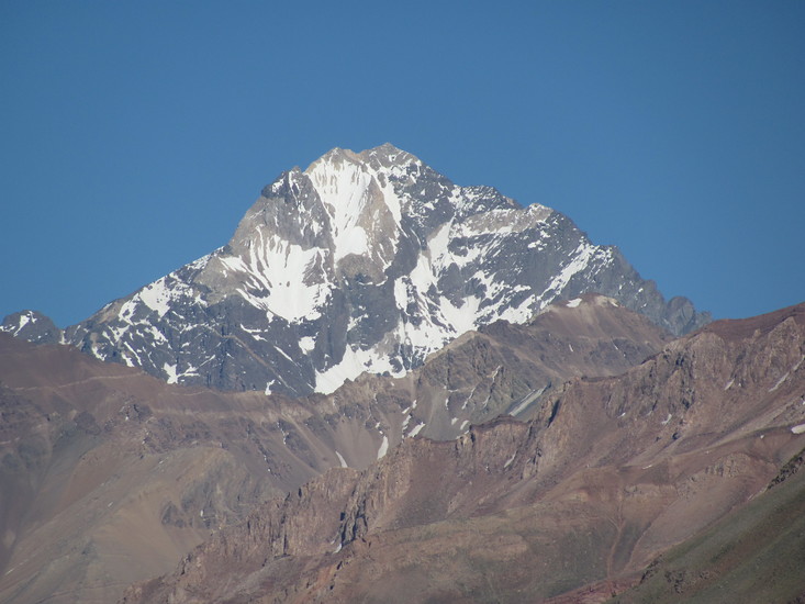
| 3. | Aconcagua (6962 m) | 16.4 km |
| 4. | Cerro Cuerno (5462 m) | 23.9 km |
| 5. | Nevado Juncal (6110 m) | 27.1 km |
| 6. | Nevado del Plomo (6070 m) | 33.9 km |
| 7. | El Plomo (5430 m) | 55.2 km |
| 8. | Plata (5930 m) | 59.2 km |
| 9. | Cerro San Bernardo (4100 m) | 63.5 km |
| 10. | Cerro Stepanek (4179 m) | 63.5 km |