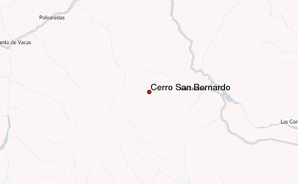
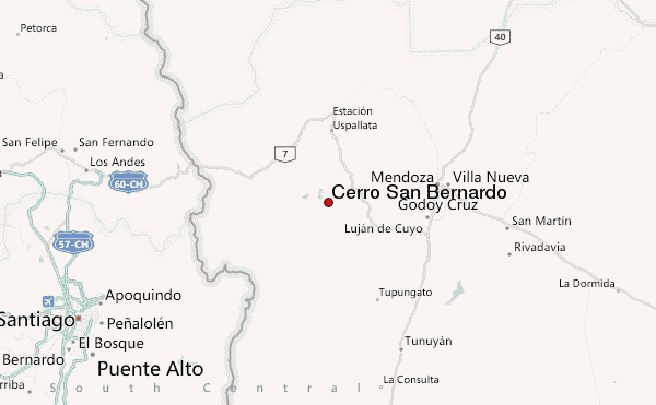
– Lat/Long: 32.97° S 69.38° W
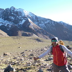
 Cerro San Bernardo – Climbing, Hiking & Mountaineering information

Cerro San Bernardo Guide
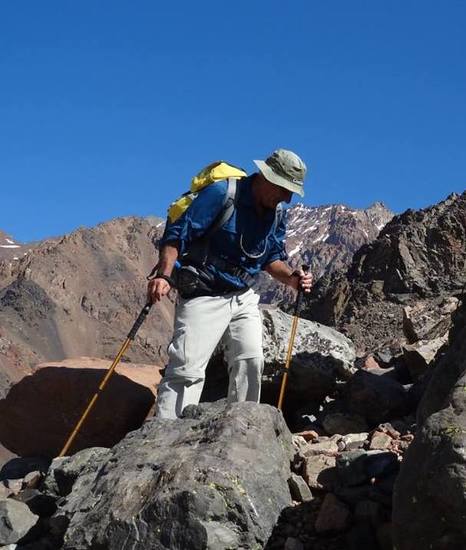
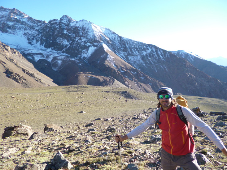
- Elevation: 4100
- Difficulty: Walk up
- Best months to climb: January, February, November, December
- Convenient center: Potrerillos
Cerro San Bernardo climbers NotesBe the first to submit your climbers note! Please submit any useful information about climbing Cerro San Bernardo that may be useful to other climbers. Consider things such as access and accommodation at the base of Cerro San Bernardo, as well as the logistics of climbing to the summit. |
| Select a
mountain summit from the menu |
||
|
Select a Mountain Summit
|
||
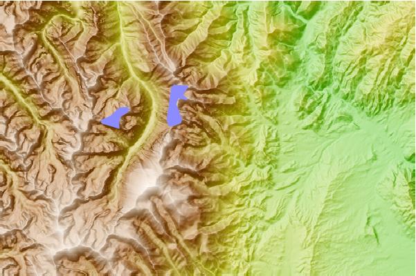
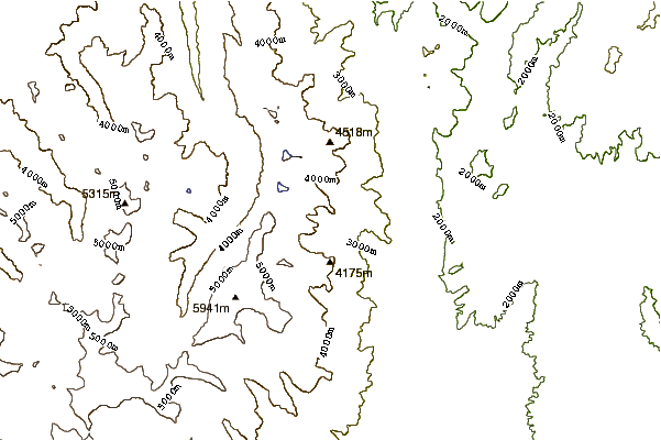
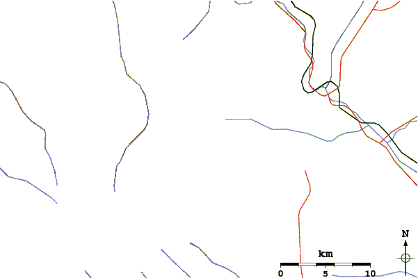
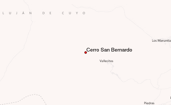
Use this relief map to navigate to mountain peaks in the area of Cerro San Bernardo.
10 other mountain peaks closest to Cerro San Bernardo:
| 1. | Cerro Stepanek (4179 m) | 0.0 km |
| 2. | Plata (5930 m) | 8.6 km |
| 3. | Cerro Cuerno (5462 m) | 53.7 km |
| 4. | Almacenes (5100 m) | 55.4 km |
| 5. | Cerro Alto Rio Blanco (5350 m) | 59.3 km |
| 6. | Tupungato or Tupungatito (6550 m) | 61.9 km |
| 7. | Tolosa (5432 m) | 63.5 km |
| 8. | Tupungatito (6000 m) | 63.8 km |
| 9. | Nevado del Plomo (6070 m) | 65.5 km |
| 10. | Nevado Juncal (6110 m) | 65.9 km |