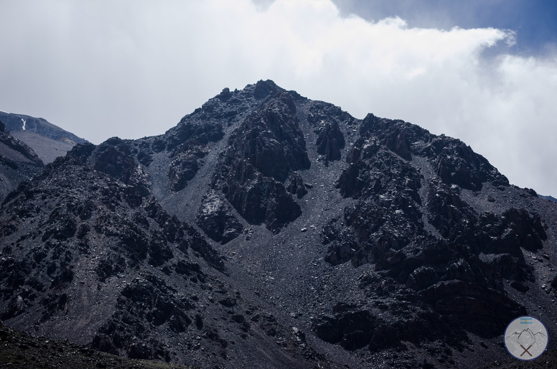
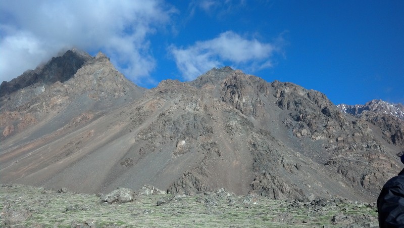
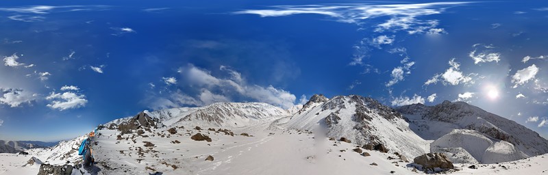
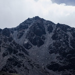
Cerro Stepanek Guide
- Elevation: 4179
- Difficulty: Scramble
- Best months to climb: January, February, April, May, June, October, November, December
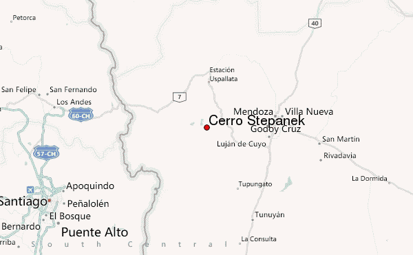
- Convenient center: Mendoza
Cerro Stepanek climbers Notes
Marcos Vidret from ARGENTINA writes:
You should use the current altitudes of the camps (editor replies: thank you, we have change the weather forecasts to these altitudes as you have suggested).
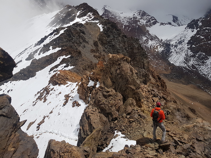
Veguitas is at 3200m. Veguitas Superior is at 3400. From Veguitas Superior you are just in front of Mount Stepanek (4180m)and Mount Calle (4270m). The entire path is marked.
Also, you can get by car up to 3000m, and you can choose between many shelters, at 2800, 29000 and 3000m.
2022-10-07 |
Click here to read 1 more climbing note for Cerro Stepanek or submit your own
|
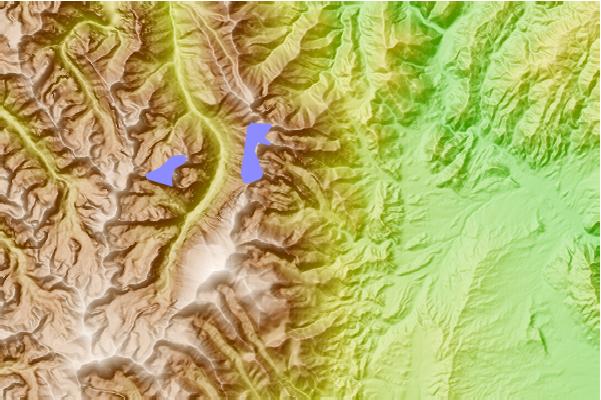
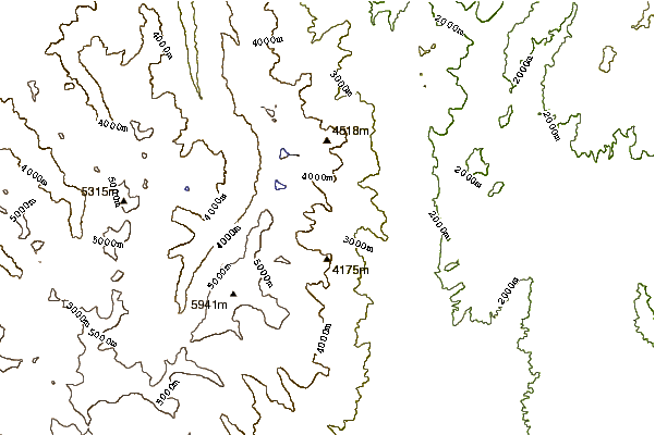
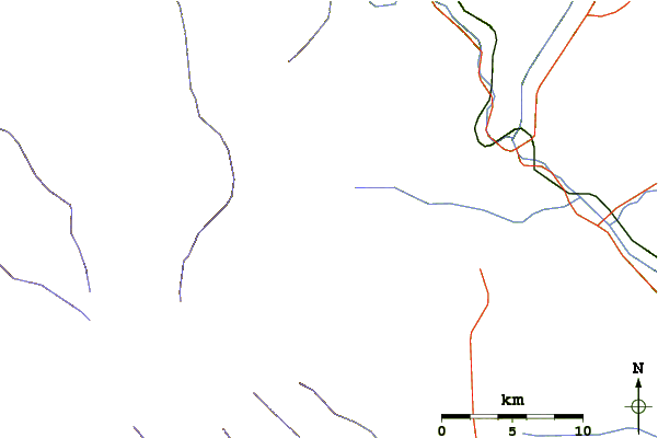
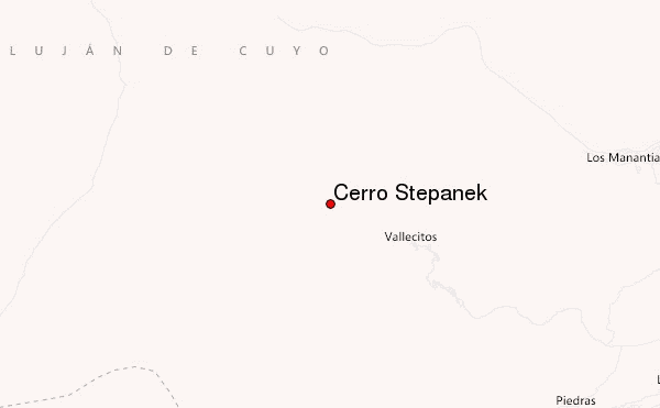
Select Cerro Stepanek Location Map Detail:
Use this relief map to navigate to mountain peaks in the area of Cerro Stepanek.
10 other mountain peaks closest to Cerro Stepanek:
 Cerro Stepanek – Climbing, Hiking & Mountaineering information