Plata Guide
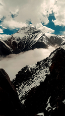
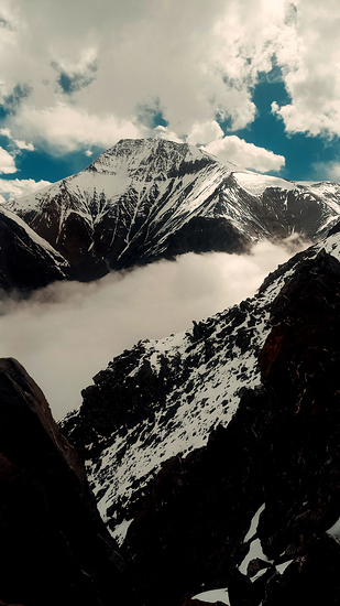
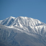
Plata
Photo credit: Reginaldo
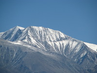
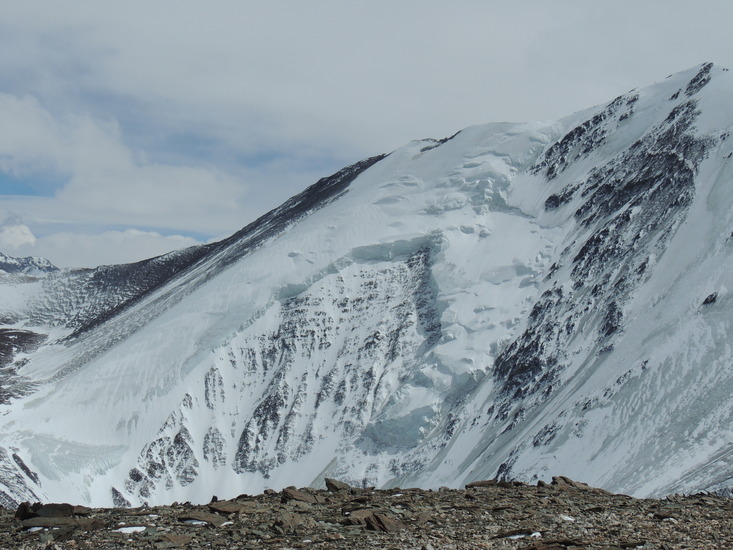
Plata
Photo credit: alejandro verzini

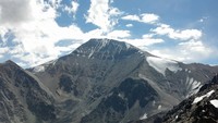
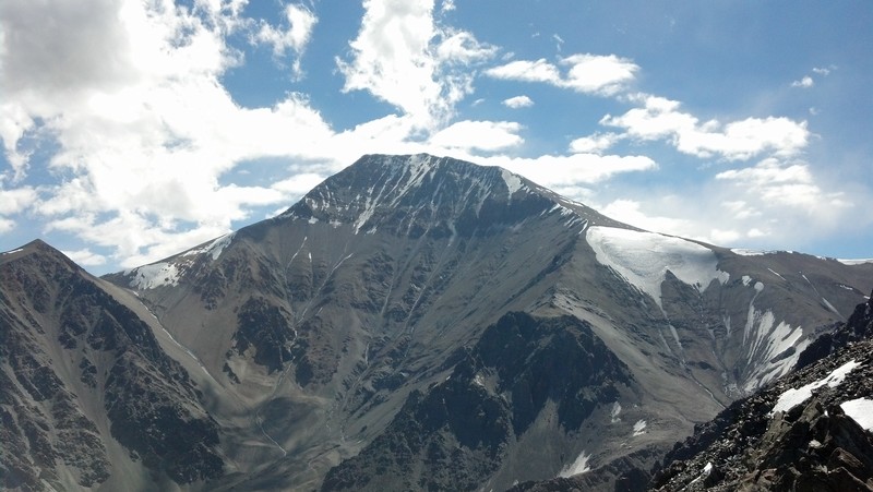
Plata
Photo credit: Mauro Schmiedt
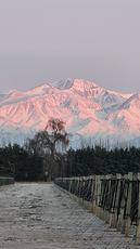
Plata
Photo credit: Gastón Cesar García
Plata
Photo credit: Carlos Soliz
- Elevation: 5930
- Difficulty: Basic Snow and Ice Climb
- Best months to climb: January, February, October, November, December
- Convenient center: Mendoza
Plata climbers Notes
Sebastian Martino from ARGENTINA writes:
Hola necesito saber como va a estar el clima en el Co.Plata durante eL finde largo de diciembre 2016. Empiezo la expedicion el dia miercoles 07/12/16,(el sabado 10/12/16 seria el ataque de cumbre), el domingo estaria bajando... gracias!!
2016-11-30 |
Click here to read 3 more climbing notes for Plata or submit your own
|
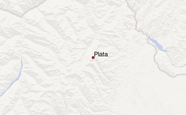
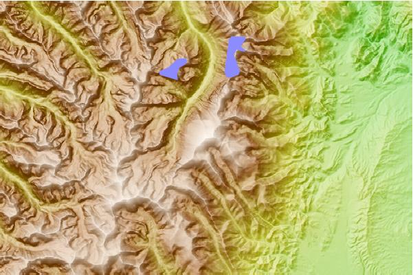
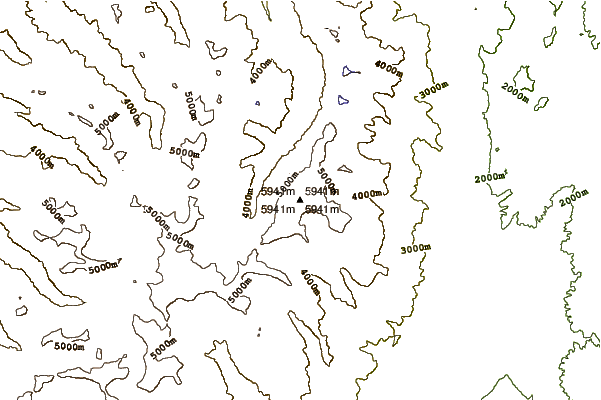
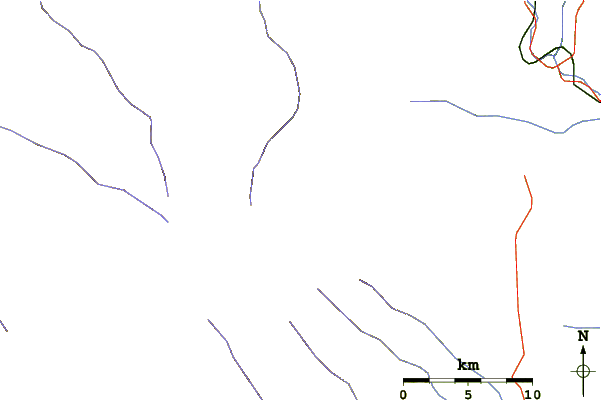
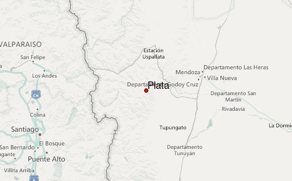
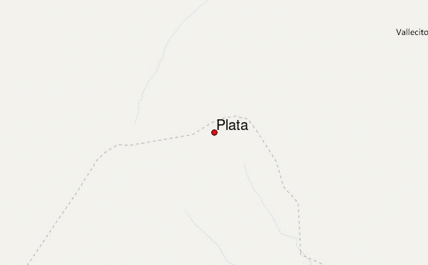
Select Plata Location Map Detail:
Use this relief map to navigate to mountain peaks in the area of Plata.
10 other mountain peaks closest to Plata:
 Plata (Cerro El Plata) – Climbing, Hiking & Mountaineering information

