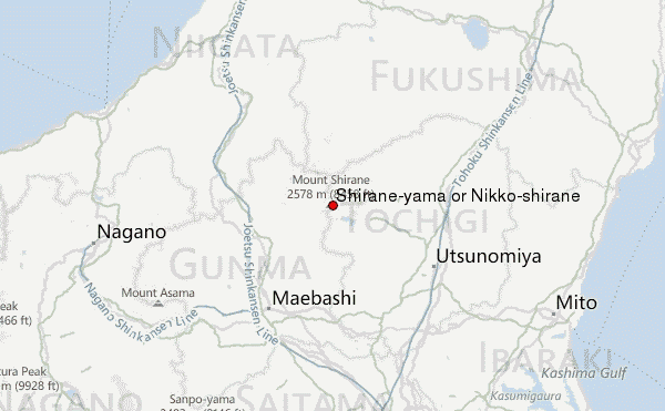
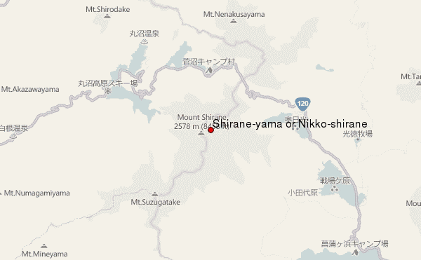
– Lat/Long: 36.80° N 139.38° E
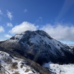
 Shirane-yama or Nikko-shirane – Climbing, Hiking & Mountaineering information

Shirane-yama or Nikko-shirane Guide
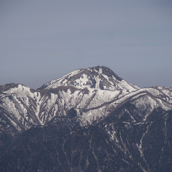
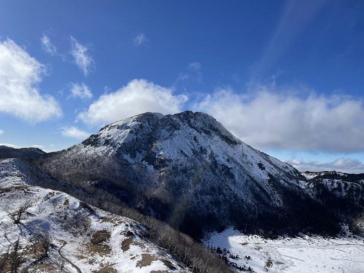
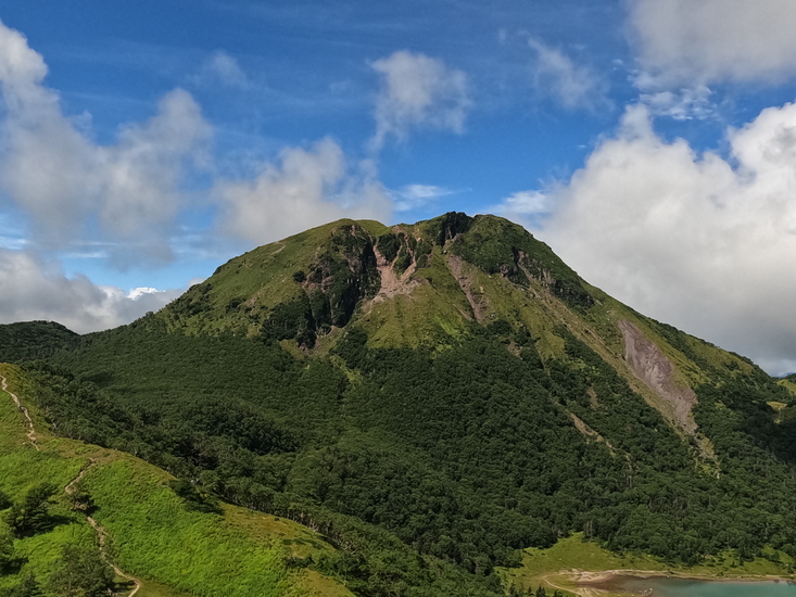
- Elevation: 2574
- Difficulty: -
- Best months to climb: -
- Convenient center: Morioka
Shirane-yama or Nikko-shirane climbers NotesBe the first to submit your climbers note! Please submit any useful information about climbing Shirane-yama or Nikko-shirane that may be useful to other climbers. Consider things such as access and accommodation at the base of Shirane-yama or Nikko-shirane, as well as the logistics of climbing to the summit. |
| Select a
mountain summit from the menu |
||
|
Select a Mountain Summit
|
||
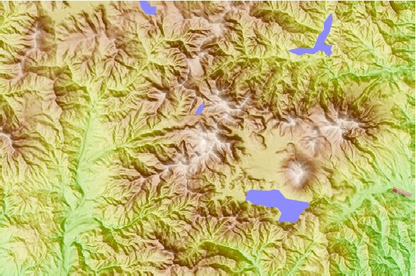
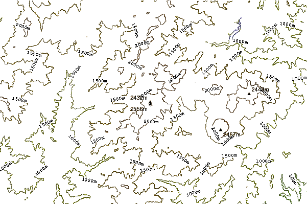
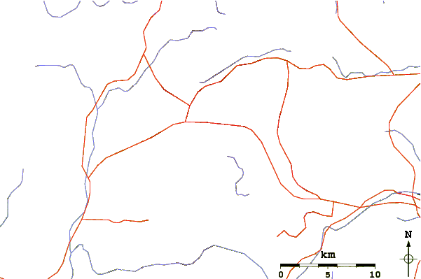
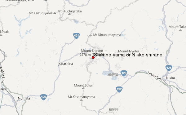
Use this relief map to navigate to mountain peaks in the area of Shirane-yama or Nikko-shirane.
10 other mountain peaks closest to Shirane-yama or Nikko-shirane:
| 1. | Omanago Group (2375 m) | 10.9 km |
| 2. | Nantai (2484 m) | 11.2 km |
| 3. | Mount Sukai (2144 m) | 12.8 km |
| 4. | 山の鼻小屋 (1496 m) | 14.6 km |
| 5. | 尾瀬小屋 (1674 m) | 14.7 km |
| 6. | 尾瀬沼山荘 (1677 m) | 15.2 km |
| 7. | 第二長蔵小屋 (1670 m) | 15.3 km |
| 8. | 龍宮小屋 (832 m) | 16.3 km |
| 9. | 七入山荘 (1599 m) | 18.9 km |
| 10. | Hiuchi (2346 m) | 18.9 km |