– Lat/Long: 36.78° N 139.50° E
 Omanago Group – Climbing, Hiking & Mountaineering information

Omanago Group Guide
- Elevation: 2375
- Difficulty: -
- Best months to climb: -
- Convenient center: Morioka
Omanago Group climbers NotesBe the first to submit your climbers note! Please submit any useful information about climbing Omanago Group that may be useful to other climbers. Consider things such as access and accommodation at the base of Omanago Group, as well as the logistics of climbing to the summit. |
| Select a
mountain summit from the menu |
||
|
Select a Mountain Summit
|
||
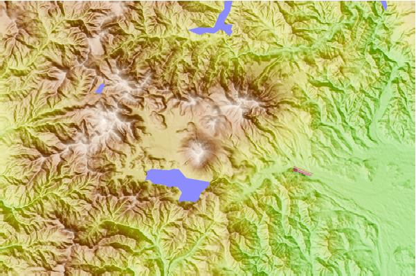
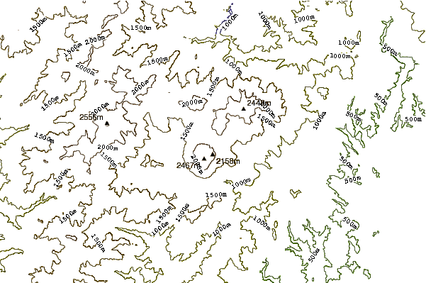
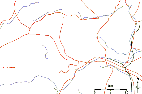
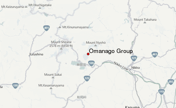
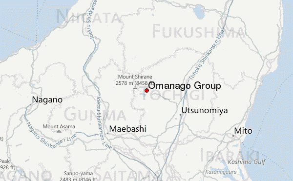
Use this relief map to navigate to mountain peaks in the area of Omanago Group.
10 other mountain peaks closest to Omanago Group:
| 1. | Nantai (2484 m) | 1.1 km |
| 2. | Shirane-yama or Nikko-shirane (2574 m) | 10.9 km |
| 3. | 龍宮小屋 (832 m) | 16.1 km |
| 4. | 山の鼻小屋 (1496 m) | 17.0 km |
| 5. | Mount Sukai (2144 m) | 17.7 km |
| 6. | 尾瀬小屋 (1674 m) | 23.1 km |
| 7. | 尾瀬沼山荘 (1677 m) | 23.1 km |
| 8. | 第二長蔵小屋 (1670 m) | 23.2 km |
| 9. | Hiuchi (2346 m) | 27.2 km |
| 10. | Takahara (1795 m) | 28.3 km |