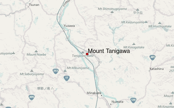
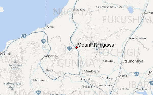
– Lat/Long: 36.84° N 138.93° E
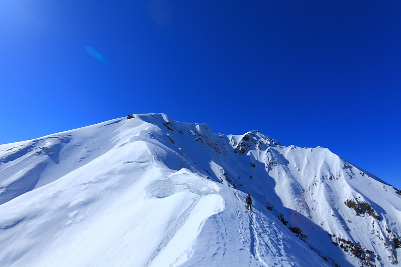
 Mount Tanigawa – Climbing, Hiking & Mountaineering information

Mount Tanigawa Guide
- Elevation: 1977
- Difficulty: -
- Best months to climb: -
- Convenient center: Minakami
Mount Tanigawa climbers NotesBe the first to submit your climbers note! Please submit any useful information about climbing Mount Tanigawa that may be useful to other climbers. Consider things such as access and accommodation at the base of Mount Tanigawa, as well as the logistics of climbing to the summit. |
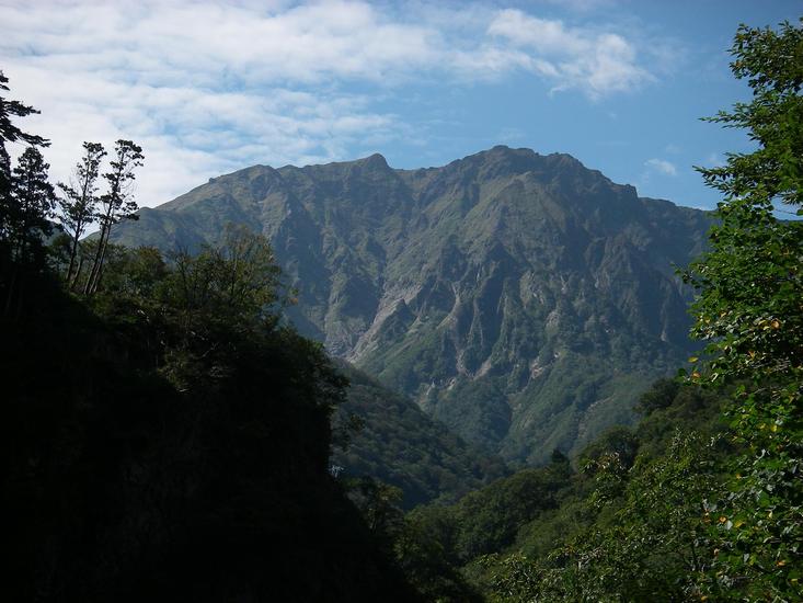
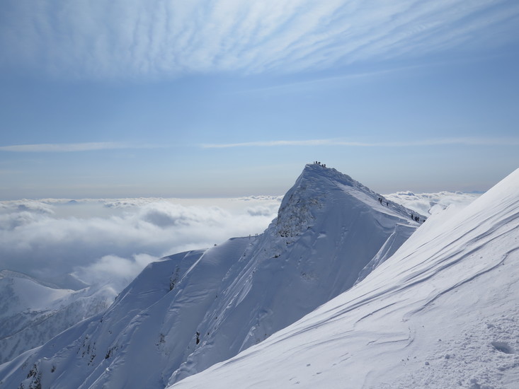
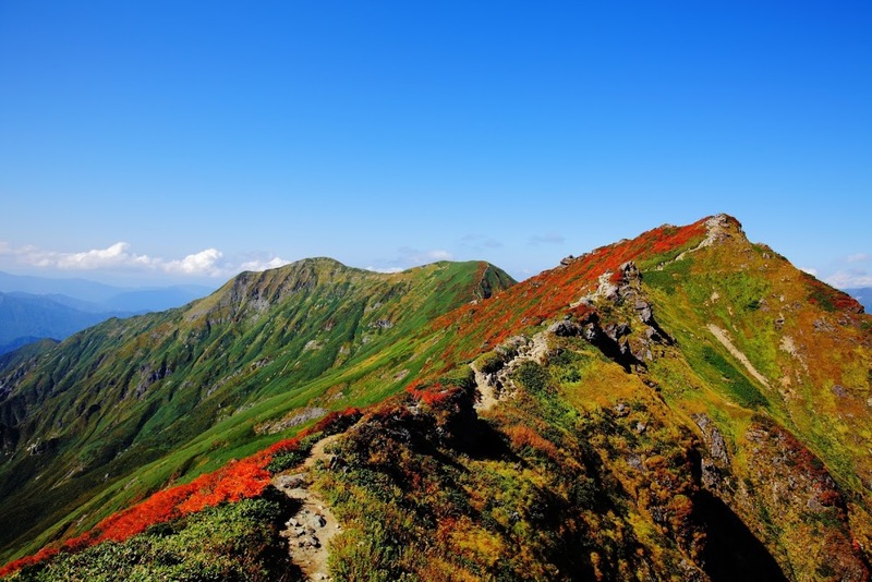
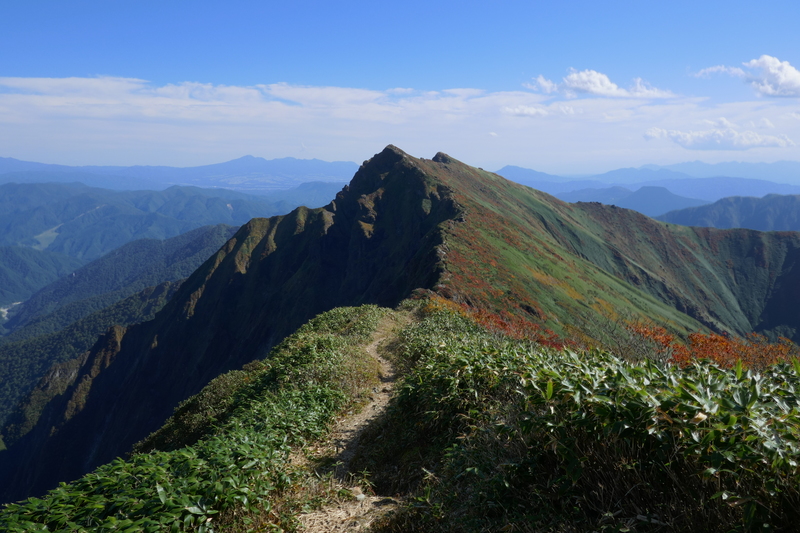
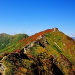
Latest Gallery Images for Mount Tanigawa

| Select a
mountain summit from the menu |
||
|
Select a Mountain Summit
|
||
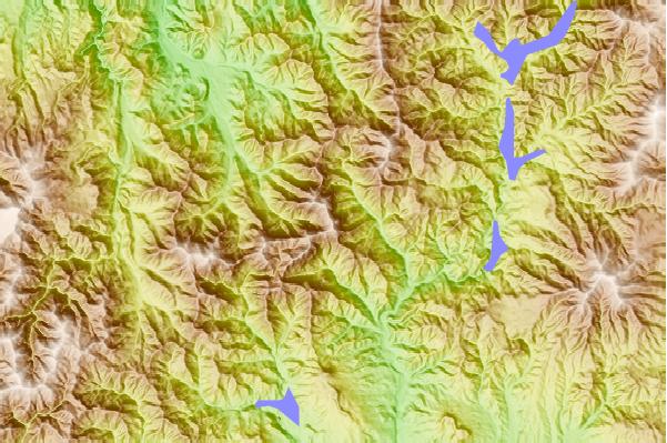
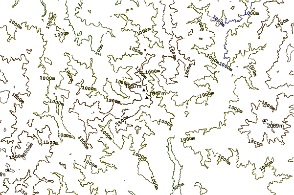
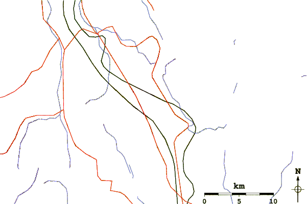
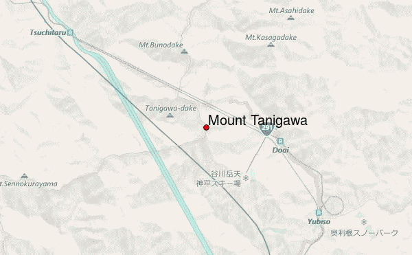
Use this relief map to navigate to mountain peaks in the area of Mount Tanigawa.
10 other mountain peaks closest to Mount Tanigawa:
| 1. | 平標山の家 (1906 m) | 0.4 km |
| 2. | 赤湯温泉山口館 (1657 m) | 10.0 km |
| 3. | 鷲が峰ひゅって (1048 m) | 18.7 km |
| 4. | Mount Naeba (2145 m) | 21.4 km |
| 5. | 谷川岳肩ノ小屋 (2142 m) | 21.4 km |
| 6. | 七入山荘 (1599 m) | 24.8 km |
| 7. | 駒の小屋 (1413 m) | 25.4 km |
| 8. | 元湯山荘 (1413 m) | 25.4 km |
| 9. | 尾瀬沼ヒュッテ (1412 m) | 25.4 km |
| 10. | Mount Hiragatake (2141 m) | 28.2 km |