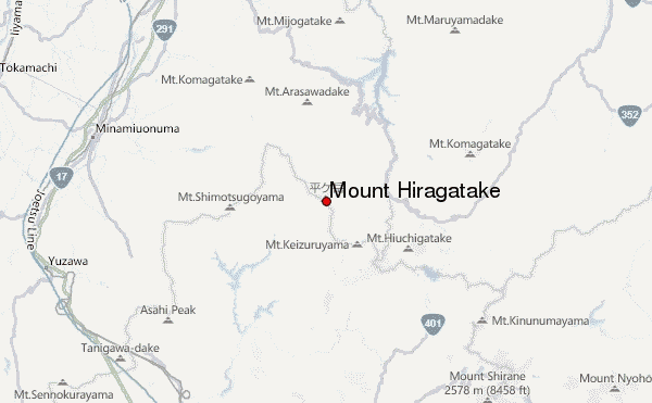
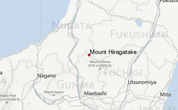
– Lat/Long: 37.00° N 139.17° E
 Mount Hiragatake – Climbing, Hiking & Mountaineering information

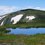
Mount Hiragatake Guide
- Elevation: 2141
- Difficulty: -
- Best months to climb: -
- Convenient center: -
Mount Hiragatake climbers NotesBe the first to submit your climbers note! Please submit any useful information about climbing Mount Hiragatake that may be useful to other climbers. Consider things such as access and accommodation at the base of Mount Hiragatake, as well as the logistics of climbing to the summit. |
| Select a
mountain summit from the menu |
||
|
Select a Mountain Summit
|
||
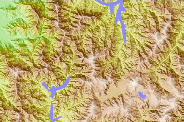
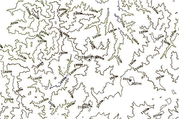
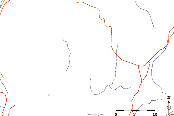
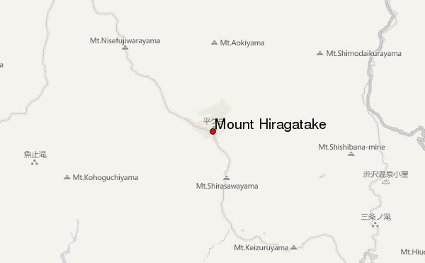
Use this relief map to navigate to mountain peaks in the area of Mount Hiragatake.
10 other mountain peaks closest to Mount Hiragatake:
| 1. | 桧枝岐小屋 (1421 m) | 8.9 km |
| 2. | 尾瀬ロッジ (1422 m) | 8.9 km |
| 3. | 長蔵小屋 (1410 m) | 8.9 km |
| 4. | 弥四郎小屋 (1405 m) | 9.8 km |
| 5. | 尾瀬沼ヒュッテ (1412 m) | 9.9 km |
| 6. | 元湯山荘 (1413 m) | 9.9 km |
| 7. | 駒の小屋 (1413 m) | 9.9 km |
| 8. | 苗場山頂ヒュッテ (1421 m) | 9.9 km |
| 9. | 至仏山荘 (1425 m) | 9.9 km |
| 10. | 原の小屋 (1421 m) | 10.0 km |