 Roanj – Climbing, Hiking & Mountaineering information

Roanj Guide
- Elevation: 3703
- Difficulty: Basic Snow and Ice Climb
- Best months to climb: January, February, March, April, May, June, November, December
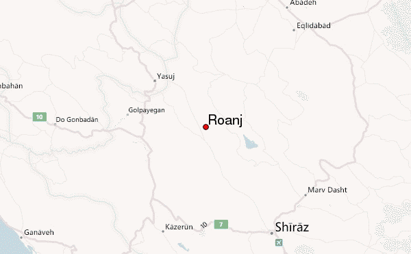
- Convenient center: Sepidan
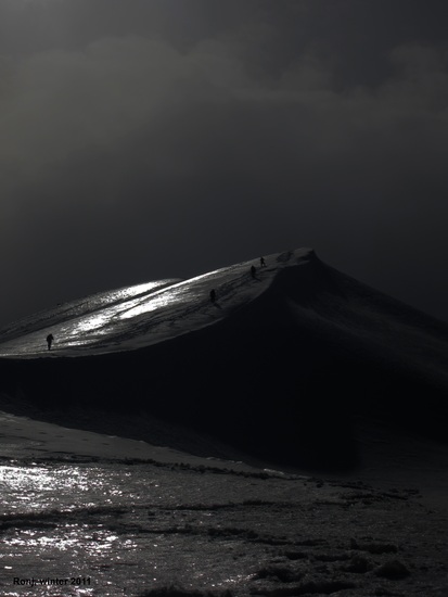
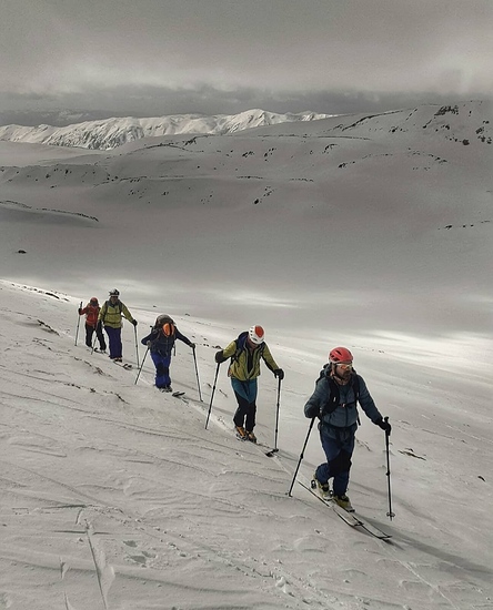
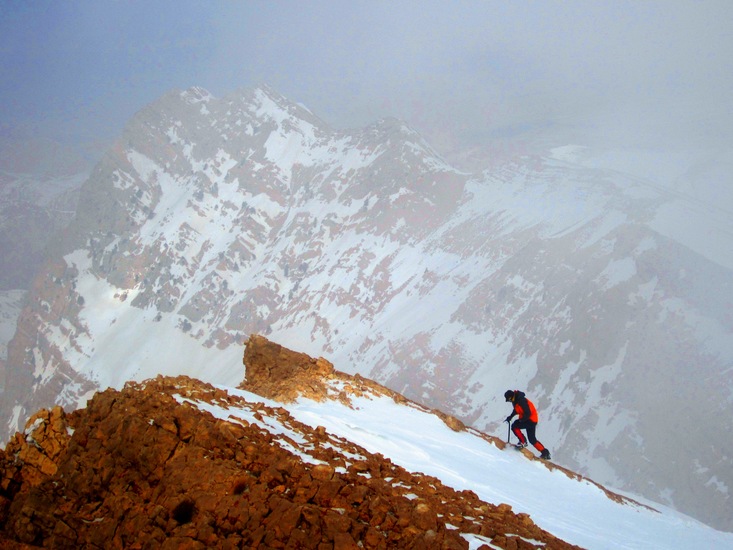
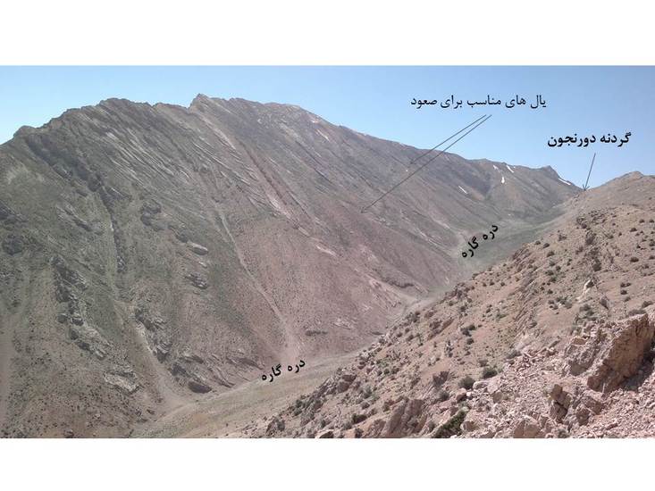
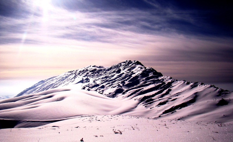
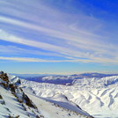
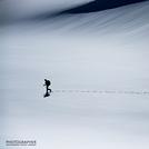
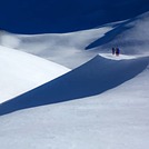
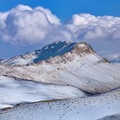
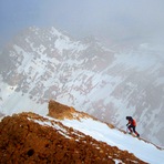
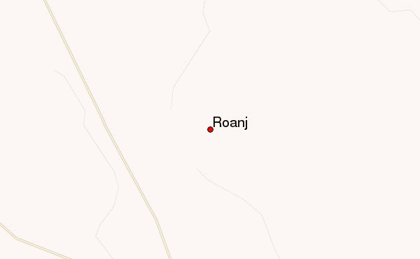
Roanj (Ronj) is a famous peak near Sepidan town located in the North-West of Fars province in the South of Iran. You can climb this mountain in any season but it is more attractive in Winter due to the snowy landscapes and its Spring is also beautiful due to the flowers and springs of the region. Summer although it is not very hot there but is not graceful to climb it due to the strong sunshine and lacking of the water. It has different ways for climbing, some of them needs technical experiences especially in Winter but others are easy to climb. The nearest airport to the mountain is Shiraz airport which is 110 km far from the mountain.
Roanj climbers NotesBe the first to submit your climbers note! Please submit any useful information about climbing Roanj that may be useful to other climbers. Consider things such as access and accommodation at the base of Roanj, as well as the logistics of climbing to the summit. |
| Select a
mountain summit from the menu |
||
|
Select a Mountain Summit
|
||
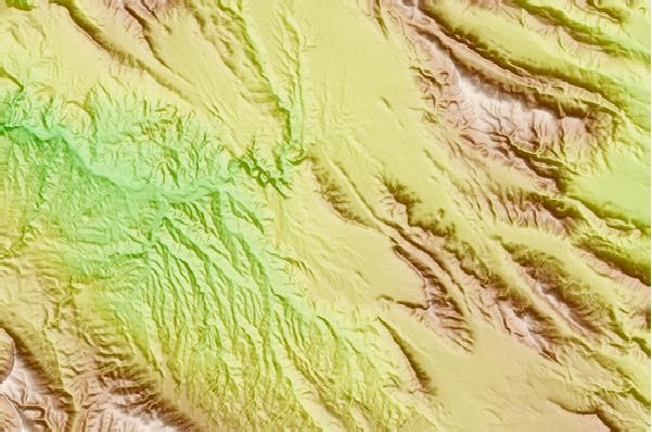
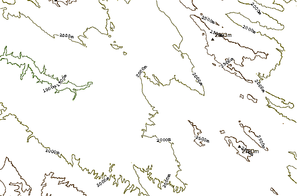
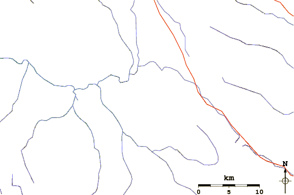
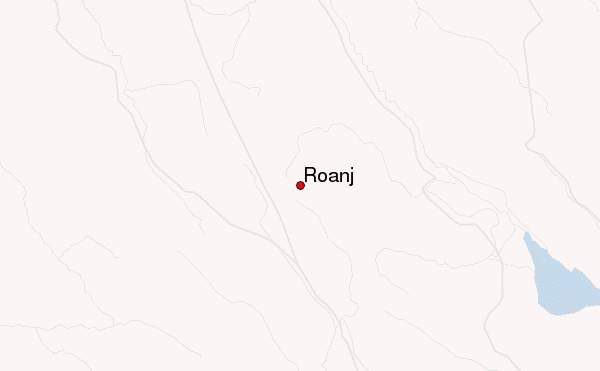
Use this relief map to navigate to mountain peaks in the area of Roanj.
10 other mountain peaks closest to Roanj:
| 1. | Ghalat (2990 m) | 69.8 km |
| 2. | Dena (4407 m) | 86.2 km |
| 3. | Jahanbin-na (3150 m) | 171.7 km |
| 4. | گنبد نمکی جاشک (1350 m) | 234.8 km |
| 5. | شيركوه (4055 m) | 242.5 km |
| 6. | Sofeh (2257 m) | 252.5 km |
| 7. | Mt Zard (4521 m) | 288.3 km |
| 8. | Zard-Kuh (4200 m) | 289.5 km |
| 9. | هفت تنان (4070 m) | 320.8 km |
| 10. | Karkas (3895 m) | 346.8 km |