Karkas Guide

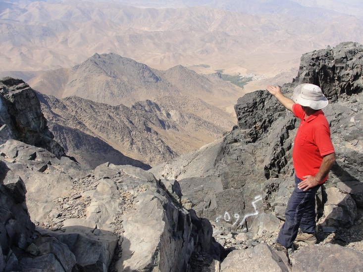
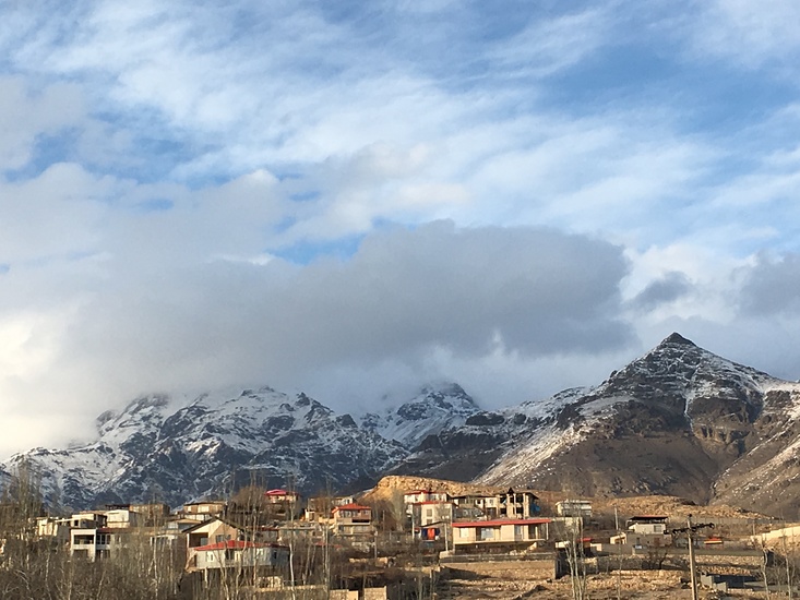
Karkas
Photo credit: Ali Saeidi

Karkas
Photo credit: Ali Saeidi

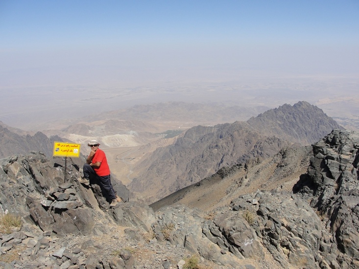
Karkas
Photo credit: Ali Saeidi

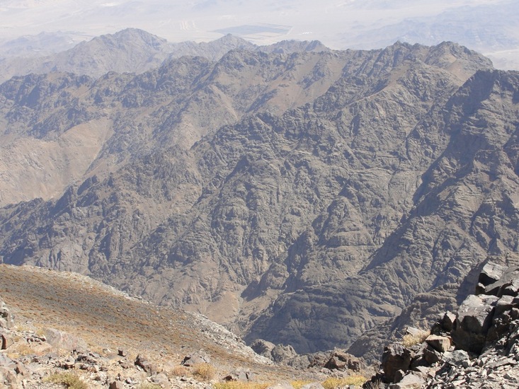
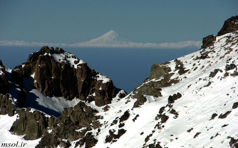
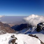
Karkas
Photo credit: Mohamad Soltanolkotabi
- Elevation: 3895
- Difficulty: Walk up
- Best months to climb: March, April
- Convenient center: Natanz
Karkas climbers Notes
Aria from UNITED STATES writes:
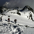
Stunning panorama to central desert of Iran, Damavand mount which is the landmark of Iran also, Zagros mountains if you’d be lucky and the weather would be clear.
Approximately, 4-5h to reach the summit which is 3900m height.
There’s a suitable shelter in the middle of the way.
2024-02-10 |
Click here to read 1 more climbing note for Karkas or submit your own
|
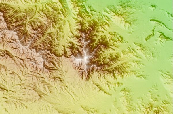
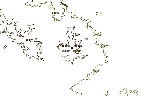
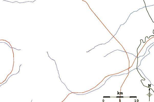
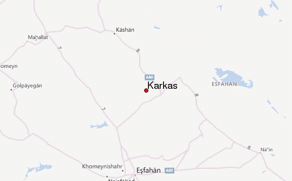
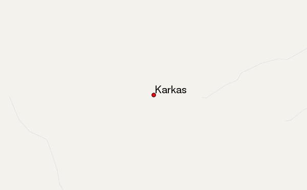
Select Karkas Location Map Detail:
Use this relief map to navigate to mountain peaks in the area of Karkas.
10 other mountain peaks closest to Karkas:
 Karkas (Mount Karkas) – Climbing, Hiking & Mountaineering information

