– Lat/Long: 25.17° N 103.30° W
 Picacho – Climbing, Hiking & Mountaineering information

Picacho Guide
- Elevation: 3120
- Difficulty: Walk up
- Best months to climb: January, February, November, December
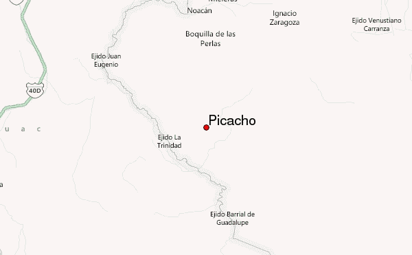
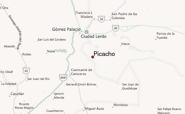
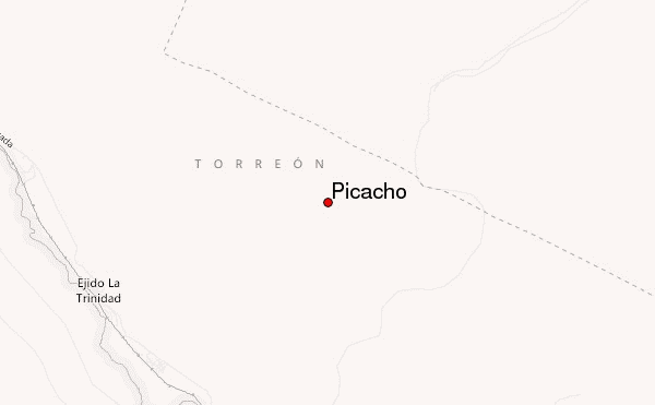
- Convenient center: Torreon
Picacho climbers Notes
|
| Select a
mountain summit from the menu |
||
|
Select a Mountain Summit
|
||
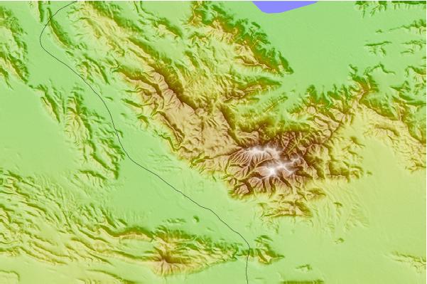
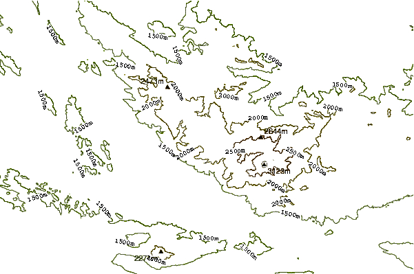
Use this relief map to navigate to mountain peaks in the area of Picacho.
10 other mountain peaks closest to Picacho:
| 1. | Copete De Las Aguilas (2200 m) | 293.3 km |
| 2. | Pico Piñón (1780 m) | 293.5 km |
| 3. | Cerro Potosi (3700 m) | 294.4 km |
| 4. | Pico Perico (2000 m) | 295.5 km |
| 5. | Cerro de las Mitras (2000 m) | 296.3 km |
| 6. | Cerro del Topo Chico (1000 m) | 304.3 km |
| 7. | Espinazo del Diablo (2450 m) | 311.8 km |
| 8. | Cerro De La Silla (1820 m) | 312.6 km |
| 9. | Infiernillo (3260 m) | 347.4 km |
| 10. | Pico De La Yerbabuena (1520 m) | 352.2 km |