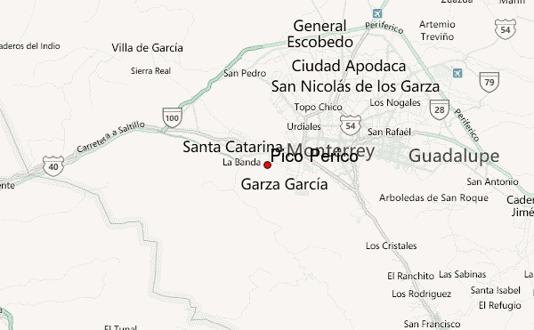
Pico Perico Guide
- Elevation: 2000
- Difficulty: Scramble
- Best months to climb: March, April, May, June, September, October
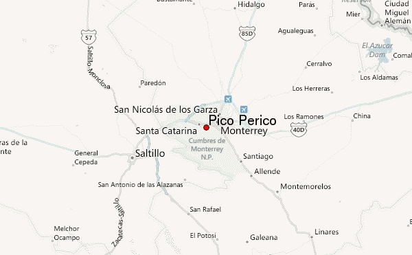
- Convenient center: Monterrey
Pico Perico climbers Notes
Andromaco from MEXICO writes:
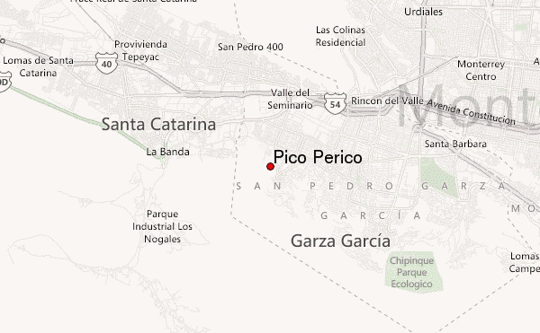
Pico Perico is the second highest peak in Cerro de las Mitras. It takes about 4hrs to reach the summit starting in Colonia Cumbres. The trail is very well indicated by colour ribbons. You start the ascending through a bush forest which later turns into a steep "stone river" surrounded by tall trees (mostly oaks). After 2 hours of steep climb and zig-zag trail you reach a horizontal path that takes you through remnants of old mines (bring a torch to lighten you). This horizontal path is a very good rest after climbing from 700m to approx. 1300m The final part is a second very steep climb through another "stone river" which takes you into some boulders that require some scrambling.
View from the top is 360º, especially good to see Santa Catarina, San Pedro and Monterrey city centre.
2011-01-18 |
Click here to submit your own climbing note for Pico Perico
|
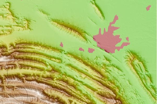
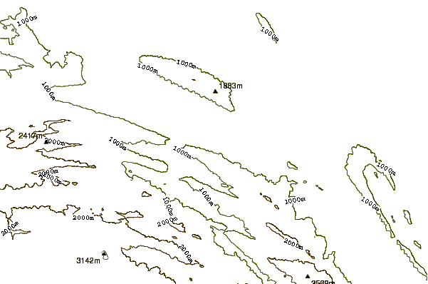
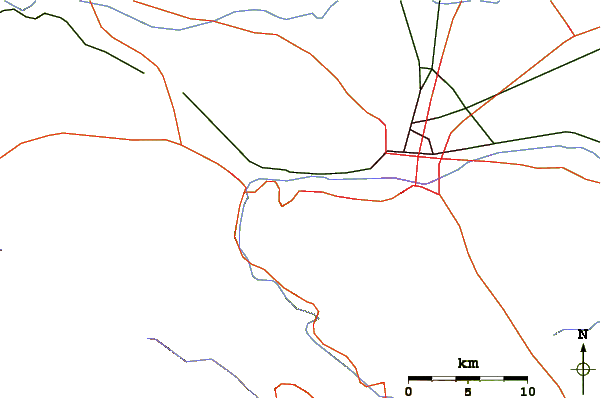
Select Pico Perico Location Map Detail:
Use this relief map to navigate to mountain peaks in the area of Pico Perico.
10 other mountain peaks closest to Pico Perico:
 Pico Perico – Climbing, Hiking & Mountaineering information