Mount Constance Guide
- Elevation: 2360
- Difficulty: Scramble
- Best months to climb: July, August, September
- Convenient center: Port Townsend
Mount Constance climbers Notes
Tom B. from UNITED STATES writes:
I didn't make the summit, but made it to the lake.
The approach on Lake Constance Trail is very difficult. As of 28May16 the first steep slope is covered in uncut fallen trees and small rock slides. The trail is choose-your-own-adventure in some places. The middle third of the trail is mostly clear with intermittent large trees down with the trail completely obscured for short sections. Tack back towards the creek if unsure and you'll find it again. The blazes are about 15 feet up and frequent on the upper half.
Final 400 yards or so were the hardest for me. You'll be climbing a series of rock walls. There are plenty of good hand and foot holds, but it's still climbing. Rope to haul packs up would be a very safe choice. I had a day pack on, and it took me 2 hours up and 90 minutes down with frequent breaks to regret my life choices.
2016-05-30 |
Click here to submit your own climbing note for Mount Constance
|
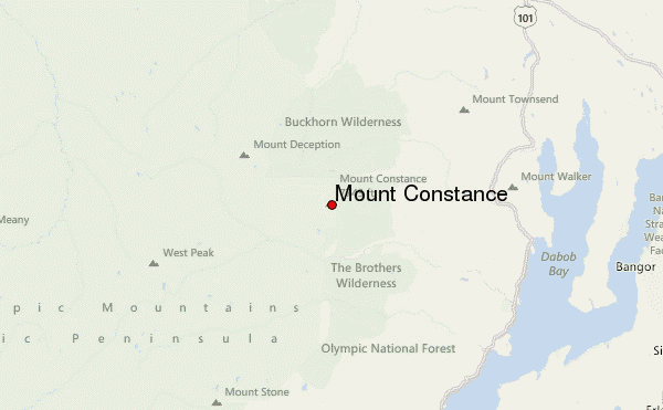
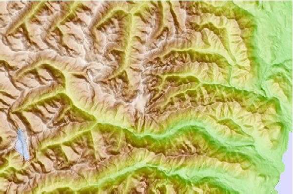
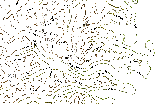
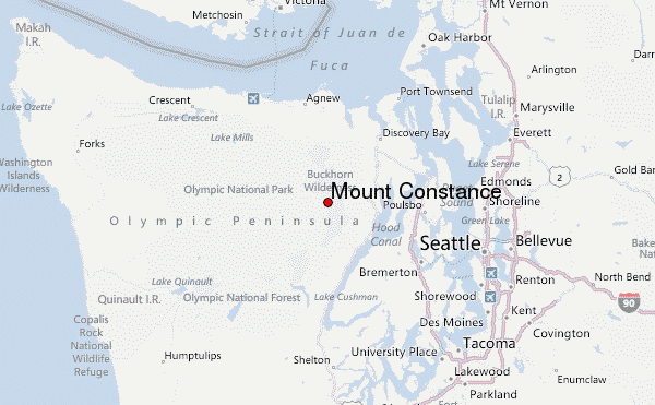
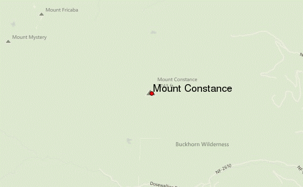
Select Mount Constance Location Map Detail:
Use this relief map to navigate to mountain peaks in the area of Mount Constance.
10 other mountain peaks closest to Mount Constance:
 Mount Constance – Climbing, Hiking & Mountaineering information
