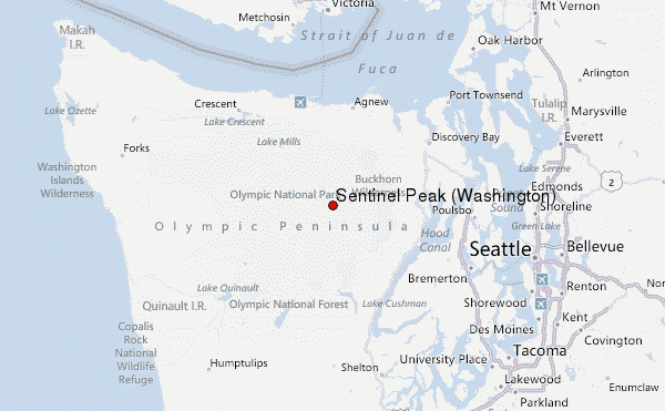
– Lat/Long: 47.78° N 123.34° W
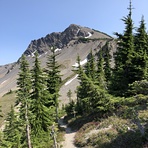
 Sentinel Peak (Washington) – Climbing, Hiking & Mountaineering information

Sentinel Peak (Washington) Guide
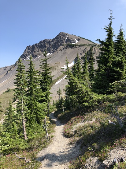
- Elevation: 2009
- Difficulty: Scramble
- Best months to climb: May, June, July, August, September
- Convenient center: Olympia
Sentinel Peak (Washington) climbers NotesBe the first to submit your climbers note! Please submit any useful information about climbing Sentinel Peak (Washington) that may be useful to other climbers. Consider things such as access and accommodation at the base of Sentinel Peak (Washington), as well as the logistics of climbing to the summit. |
| Select a
mountain summit from the menu |
||
|
Select a Mountain Summit
|
||
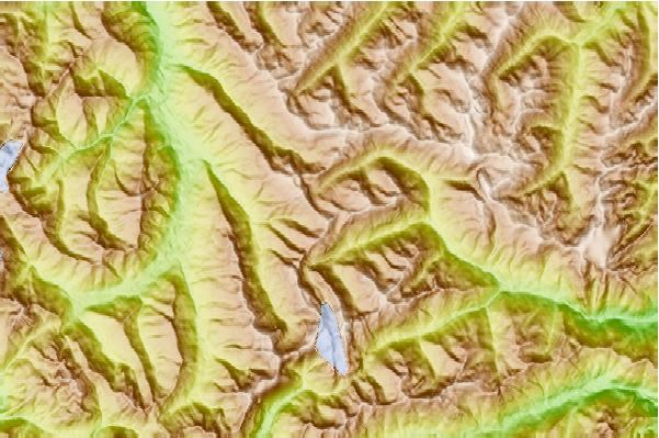
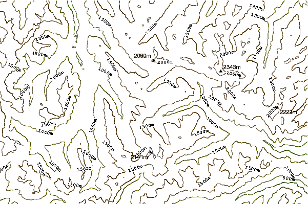
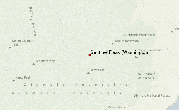
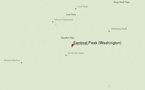
Use this relief map to navigate to mountain peaks in the area of Sentinel Peak (Washington).
10 other mountain peaks closest to Sentinel Peak (Washington):
| 1. | Mount Anderson (2231 m) | 6.5 km |
| 2. | Mount Deception (2374 m) | 9.0 km |
| 3. | Mccartney Peak (2068 m) | 9.1 km |
| 4. | Mount Mystery (2326 m) | 9.2 km |
| 5. | Mount Dana (Washington) (1893 m) | 10.9 km |
| 6. | Gray Wolf Ridge (2200 m) | 13.9 km |
| 7. | Mount Constance (2360 m) | 16.1 km |
| 8. | Mount Duckabush (1900 m) | 16.4 km |
| 9. | Buckhorn Mountain (2130 m) | 17.7 km |
| 10. | Mount Christie (Washington) (1883 m) | 17.7 km |