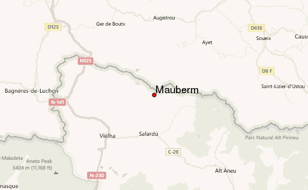
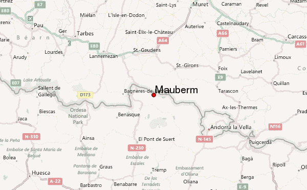
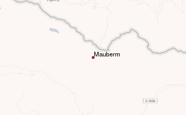
– Lat/Long: 42.78° N 0.92° E
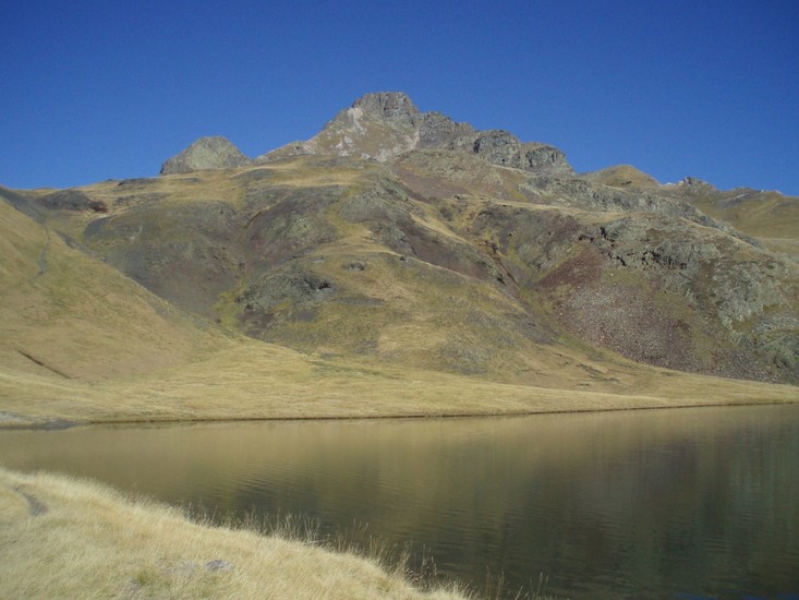
 Mauberm – Climbing, Hiking & Mountaineering information

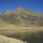
Mauberm Guide
- Elevation: 2880
- Difficulty: Walk up
- Best months to climb: July, August, September
- Convenient center: St Girons
Mauberm climbers NotesBe the first to submit your climbers note! Please submit any useful information about climbing Mauberm that may be useful to other climbers. Consider things such as access and accommodation at the base of Mauberm, as well as the logistics of climbing to the summit. |
| Select a
mountain summit from the menu |
||
|
Select a Mountain Summit
|
||
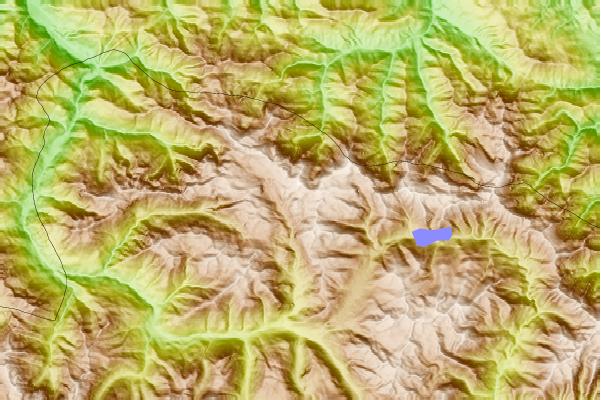
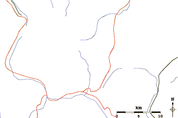
Use this relief map to navigate to mountain peaks in the area of Mauberm.
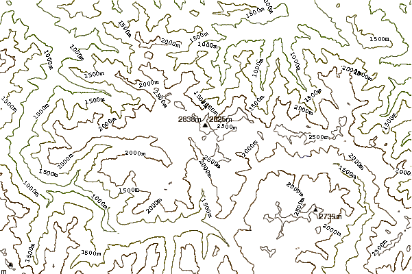
10 other mountain peaks closest to Mauberm:
| 1. | Refugio CALHAUS (1929 m) | 1.7 km |
| 2. | Cabana del Pas Estret (2070 m) | 2.5 km |
| 3. | Refugio de las Minas de Liat (2270 m) | 3.8 km |
| 4. | Refugio CANANA DE GESSA (1939 m) | 6.3 km |
| 5. | Refugio MONTGARRI (1635 m) | 6.9 km |
| 6. | Refugio ARTIGUETES (1580 m) | 7.2 km |
| 7. | Xalet Refugi Juli Soler Santaló (1268 m) | 8.5 km |
| 8. | Refugio ERA HONERIA (1015 m) | 9.8 km |
| 9. | Mont Valier (2838 m) | 13.9 km |
| 10. | Refugio BASA DE OLLES (1625 m) | 13.9 km |