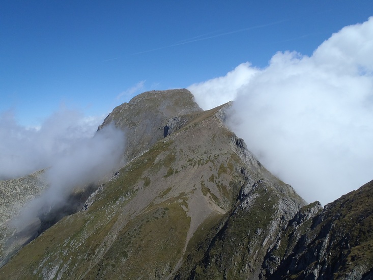
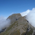
Mont Valier Guide
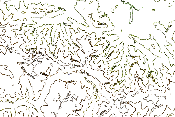
- Elevation: 2838
- Difficulty: -
- Best months to climb: -
- Convenient center: -
Mont Valier climbers Notes
Jack Magill from FRANCE writes:
Mont Valier is accessible from a number of directions. The most convenient on the french side of the frontier is to start from the Vallee d'Ribérot, car parking is available at le place de lau.
From there follow the red and white GR10 symbols along the river, cross the second set of bridges and climb through a beech forest to the cascade d'Nérech about 1hour 40 mins. Cross the bridge by the water fall then its a steady climb of 2hours 30mins to Le refuge des Estangnous at 2246 meters. Accommodation is available through the summer months. Another 1hour 40mins will take you to the sommet 2838M
There is also acommadation at the beginning of the climb at the maison d'Vallier.
Care should be taken in early summmer crampons and an ice axe may be necessary (and the skills to use them) through to June.
Check at the Office de Toutisme.
2014-10-05 |
Click here to read 1 more climbing note for Mont Valier or submit your own
|
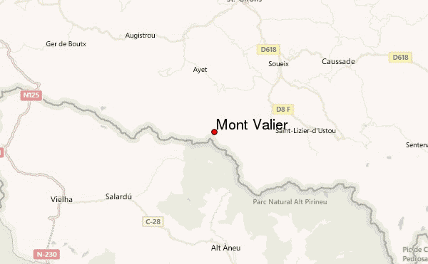
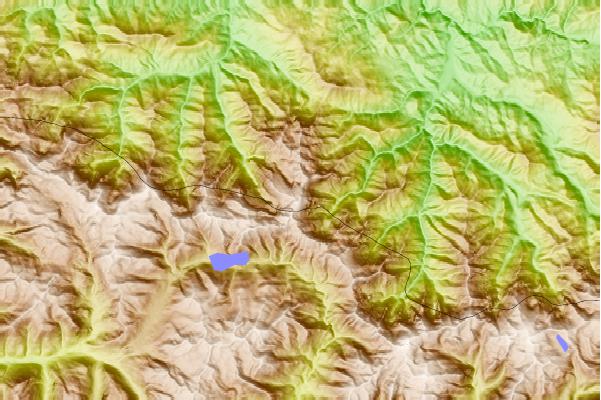
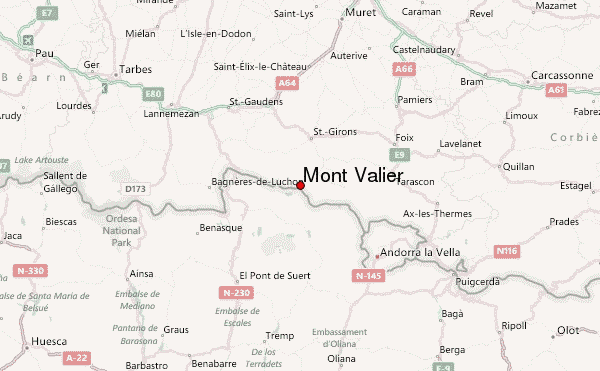
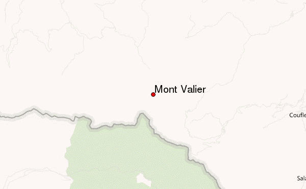
Select Mont Valier Location Map Detail:
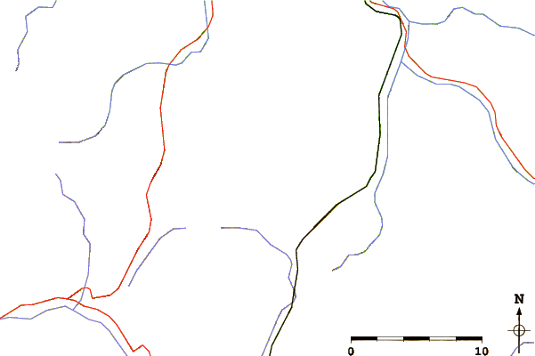
Use this relief map to navigate to mountain peaks in the area of Mont Valier.
10 other mountain peaks closest to Mont Valier:
 Mont Valier – Climbing, Hiking & Mountaineering information