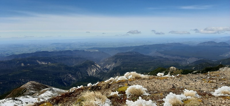
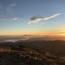
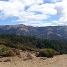
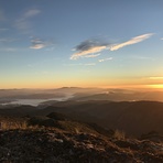
Kaweka J Guide
- Elevation: 1724
- Difficulty: -
- Best months to climb: -
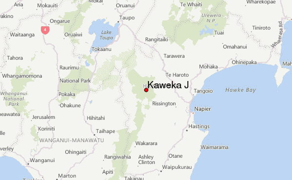
- Convenient center: Napier
Kaweka J climbers Notes
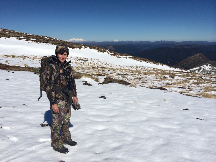
Jonathan from NEW ZEALAND writes:
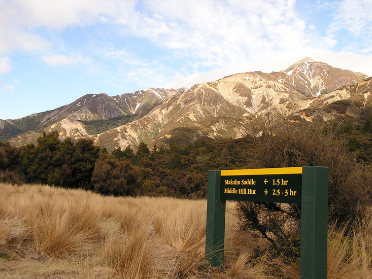
An easy climb for those who are mountain fit. You can get to the top in approximately 3 hours without too much weight on your back. Plenty of huts in the area. Beware of strong winds that frequent the range. It's not uncommon to have 100 kmph + winds up there.
2020-05-21 |
Click here to submit your own climbing note for Kaweka J
|
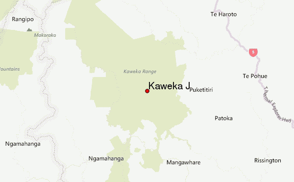
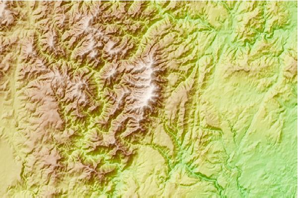
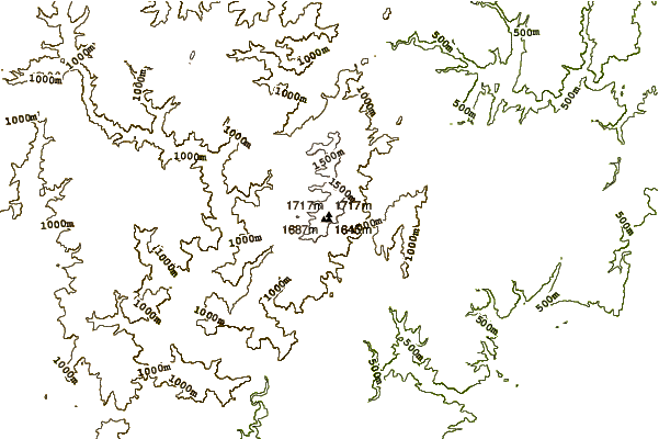
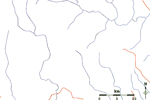
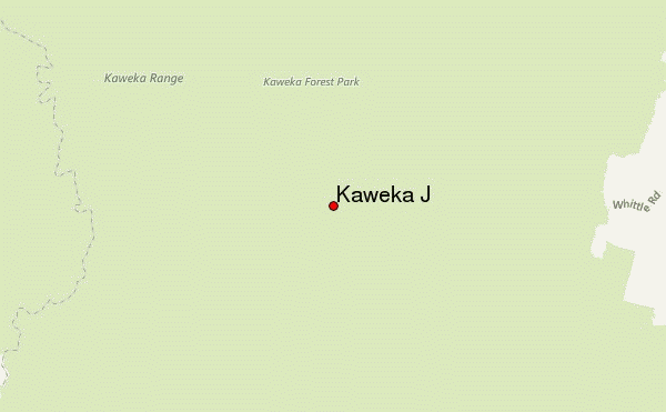
Select Kaweka J Location Map Detail:
Use this relief map to navigate to mountain peaks in the area of Kaweka J.
10 other mountain peaks closest to Kaweka J:
 Kaweka J – Climbing, Hiking & Mountaineering information
