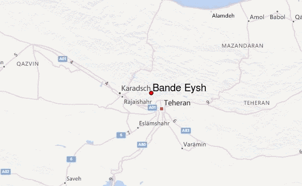
Bande Eysh Guide
- Elevation: 2766
- Difficulty: Moderate
- Best months to climb: -
- Convenient center: Sulqan
Bande Eysh climbers Notes
shahryar ramhormozi from IRAN writes:
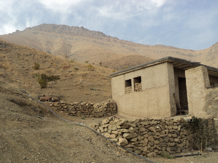
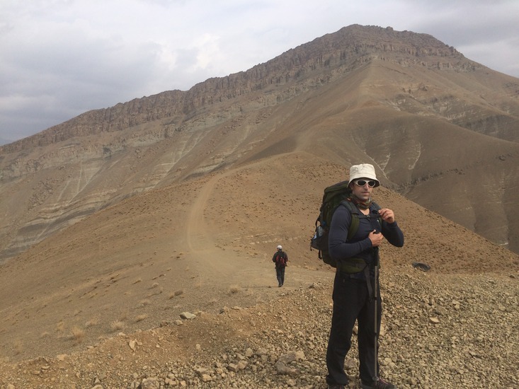
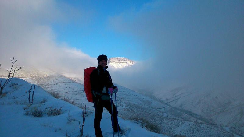
قله بند عیش در شمال غربی تهران واقع شده از جنت آباد شمالی و یا ده حصارک مسیر در انتهای کوچه صحرا شروع می شود و حدود 2 تا 3 ساعت در میان باغهای گیلاس ادامه میابد تا به چشمه اصلی برسد از آنجا کمتر از یک ساعت مسیر سنگی تا قله دارد که نیازی به مهارت سنگنوردی ندارد از قله امام زاده داود دیده میشود و حدود 3 ساعت تا آنجا پیاده روی دارد البته میتوان از مسیر رفته بازگشت
The Whale is located in the northwestern part of Tehran, located on the northwest of Jenat Abad, or Ten Hesarak. The route begins at the end of the Sahara Alley, and lasts about 2 to 3 hours between the cherry gardens to reach the main fountain, less than an hour later. Up to the summit, which does not require climbing skills, is seen from the summit of Imam Zadeh and is about 3 hours walkable. However, it is possible to go back via the path.
2018-04-02 |
Click here to submit your own climbing note for Bande Eysh
|
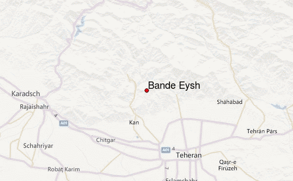
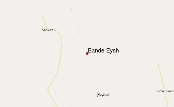
Select Bande Eysh Location Map Detail:
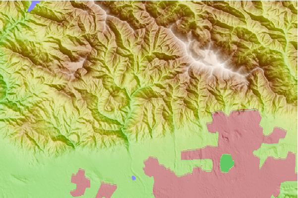
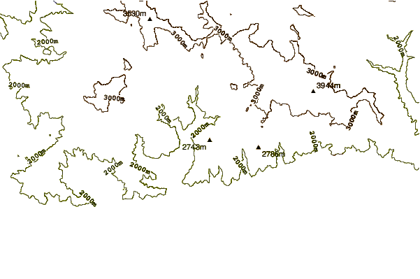
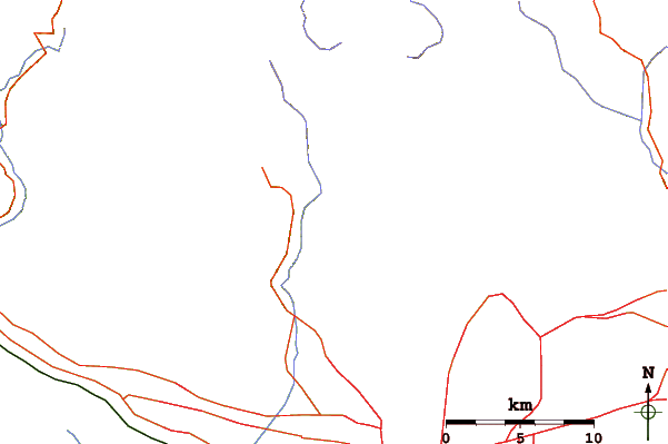
Use this relief map to navigate to mountain peaks in the area of Bande Eysh.
10 other mountain peaks closest to Bande Eysh:
 Bande Eysh – Climbing, Hiking & Mountaineering information

