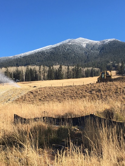
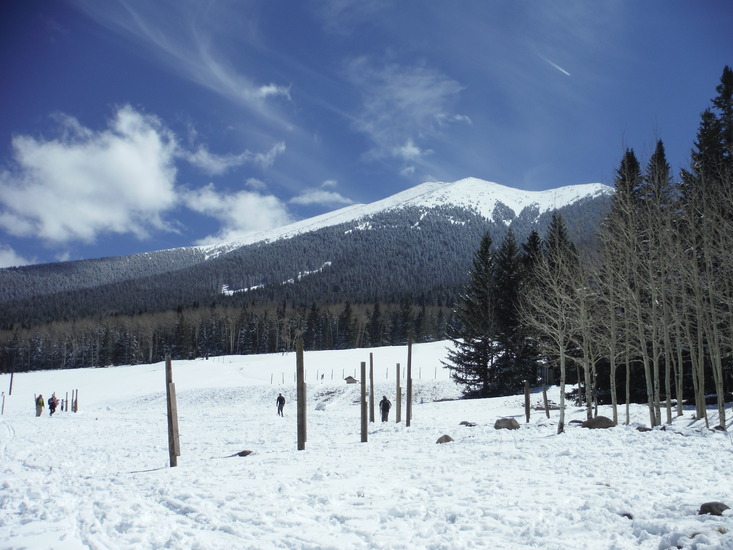
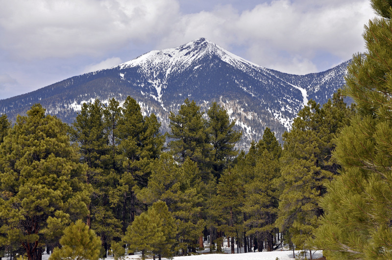
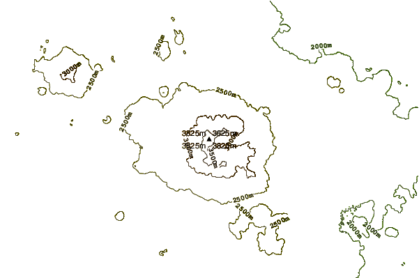
Humphreys Peak Guide
- Elevation: 3851
- Difficulty: Walk up
- Best months to climb: June, July, August, September, October
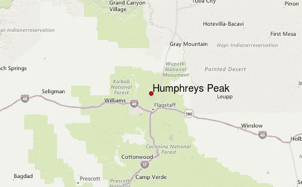
- Convenient center: Flagstaff, Arizona
Humphreys Peak climbers Notes
Stanley Peng from UNITED STATES writes:
4/28/16
Started a little after 7am and had a gut feeling that this was too late with a forecast of snow shower in PM.
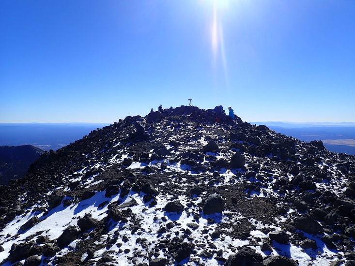
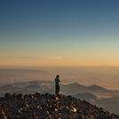
Wind wasn't a factor below the tree line even though the forecast was severe gust. Trail was still walkable with fair amount of new snow on top of old from the night before. Sign is not visible especially with deeper snow cover. It's easy to get lost near the steep approach toward the saddle and trail merge. I did not carry crampons but only a pair of trail running shoes (Pearl Izumi Peak II), so I had to be very careful on every step I make. It got quite gusty on the saddle onward to the peak. Follow the wooden post and do not wonder off, it's easy to get lost. Back track if there is any doubt of off trail. Snow storm came sooner than expected around 11am while on San Francisco Peak. Then it was whiteout with ice hail blown over 40+mph. Visibility was only arm length, so spotting a wooden post was considered a blessing. Didn't realize I was at the peak when I saw a sign-in metal case with Humphreys Peak post laying on the ground after being blown down from daily strong gust. It was noon. The tougher part was descending as whiteout blizzard condition continued. Layers of clothing is very important. I also had climbing helmet and two hiking poles, which worked wonder in leveraging from hard pack snow footing. Ice axe would be more appropriate in deep snow condition like this in case of a slip down the slope. Snow was hard-packed in the afternoon toward the bottom and it made progression more difficult.
Took 4 hours to get down with numerous slips and falls. Helmet and foot traction device certainly advisable for condition like this. This hike with winter condition was more like a climb to Mt. Shasta or Rainier, both I consider snow hike and moderately easy. Encountering a snow storm like this is a first, thanks for the mountain-forecast's weather forecast.
2016-04-29 |
Click here to read 5 more climbing notes for Humphreys Peak or submit your own
|
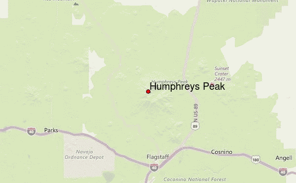
Select Humphreys Peak Location Map Detail:
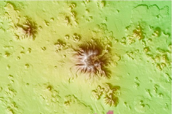
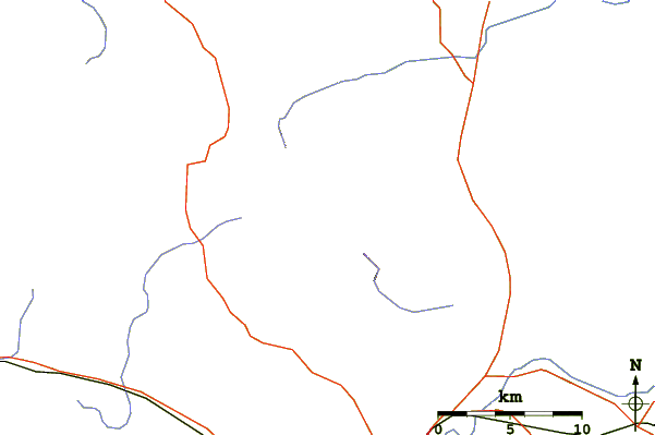
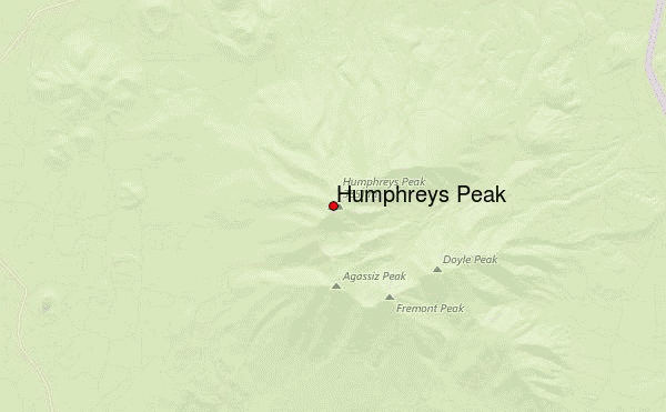
Use this relief map to navigate to mountain peaks in the area of Humphreys Peak.
10 other mountain peaks closest to Humphreys Peak:
 Humphreys Peak – Climbing, Hiking & Mountaineering information
