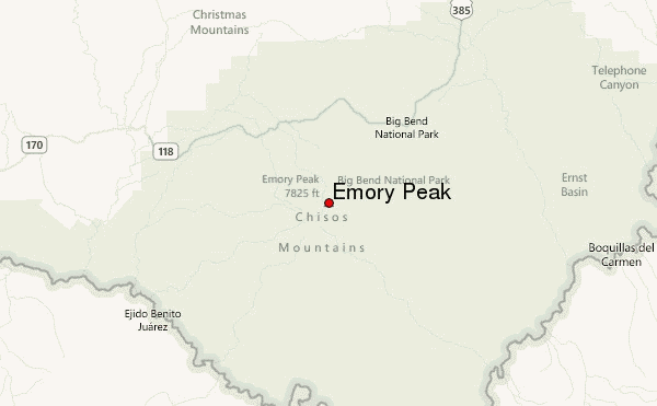
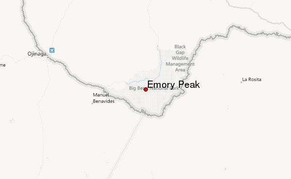
– Lat/Long: 29.25° N 103.30° W
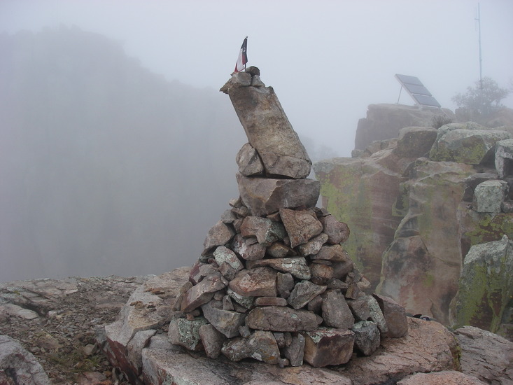
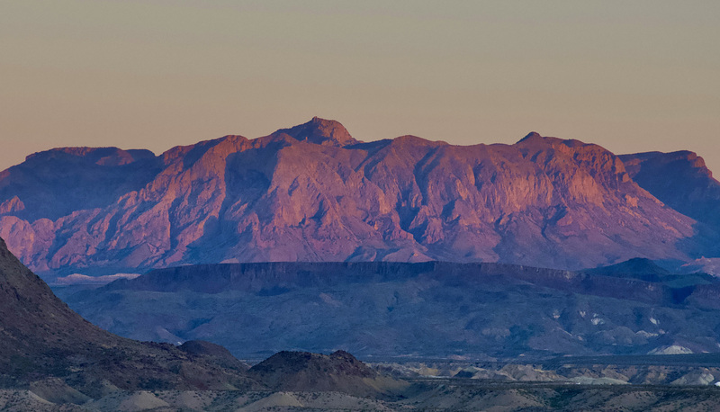
 Emory Peak – Climbing, Hiking & Mountaineering information

Emory Peak Guide
- Elevation: 2385
- Difficulty: -
- Best months to climb: January, February, March, April, October, November, December
- Convenient center: Terlingua (30 miles), Marathon (100 miles)
Emory Peak climbers NotesBe the first to submit your climbers note! Please submit any useful information about climbing Emory Peak that may be useful to other climbers. Consider things such as access and accommodation at the base of Emory Peak, as well as the logistics of climbing to the summit. |
| Select a
mountain summit from the menu |
||
|
Select a Mountain Summit
|
||
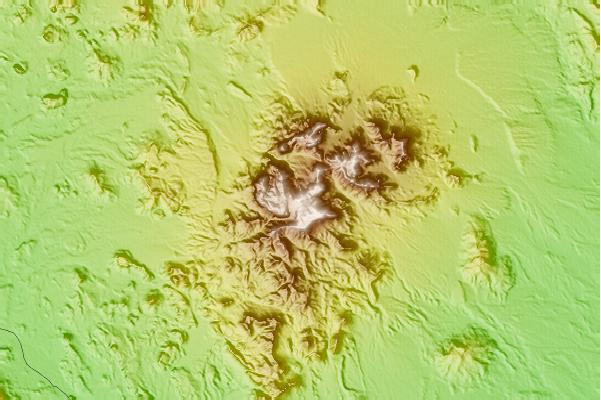
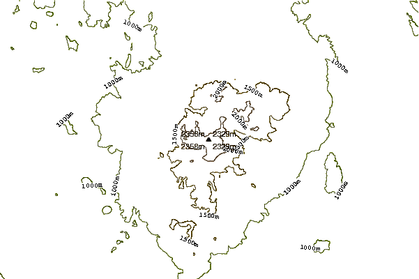
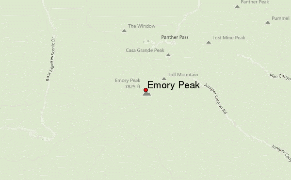
Use this relief map to navigate to mountain peaks in the area of Emory Peak.
10 other mountain peaks closest to Emory Peak:
| 1. | Needle Peak (Presidio County, Texas) (1404 m) | 53.2 km |
| 2. | Mount Livermore-Davis (2554 m) | 176.0 km |
| 3. | El Capitan (2464 m) | 316.2 km |
| 4. | Hunter Peak (2551 m) | 329.0 km |
| 5. | Guadalupe Peak (2667 m) | 329.5 km |
| 6. | Bush Mountain (2548 m) | 332.8 km |
| 7. | Bartlett Peak (2593 m) | 333.5 km |
| 8. | Peak 7480 (2280 m) | 339.0 km |
| 9. | Cerro Alto Mountain (2043 m) | 394.3 km |
| 10. | North Franklin Mountain (2192 m) | 425.2 km |