– Lat/Long: 31.94° N 105.97° W
 Cerro Alto Mountain – Climbing, Hiking & Mountaineering information

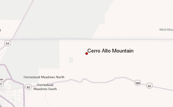
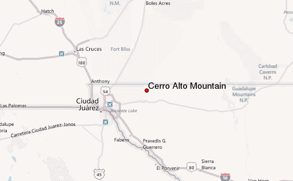
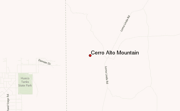
Cerro Alto Mountain Guide
- Elevation: 2043
- Difficulty: -
- Best months to climb: -
- Convenient center: -
Cerro Alto Mountain climbers NotesBe the first to submit your climbers note! Please submit any useful information about climbing Cerro Alto Mountain that may be useful to other climbers. Consider things such as access and accommodation at the base of Cerro Alto Mountain, as well as the logistics of climbing to the summit. |
| Select a
mountain summit from the menu |
||
|
Select a Mountain Summit
|
||
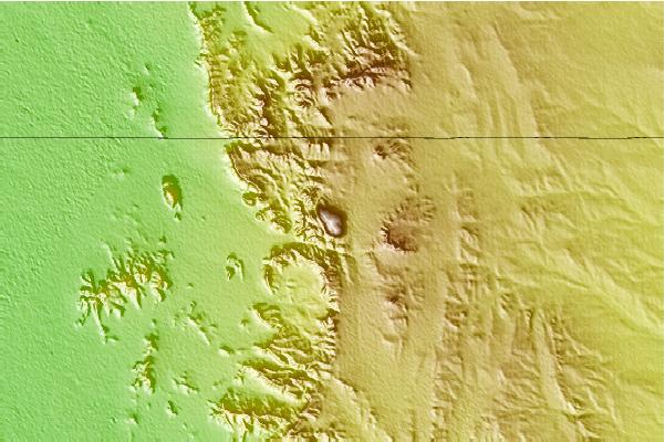
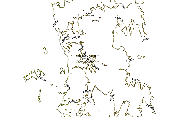
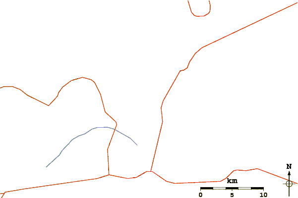
Use this relief map to navigate to mountain peaks in the area of Cerro Alto Mountain.
10 other mountain peaks closest to Cerro Alto Mountain:
| 1. | North Franklin Mountain (2192 m) | 49.6 km |
| 2. | Organ Needle (2737 m) | 71.3 km |
| 3. | Lost Peak (2387 m) | 91.1 km |
| 4. | Sacramento Peak (2821 m) | 94.4 km |
| 5. | Cathey Peak (2940 m) | 97.4 km |
| 6. | Bartlett Peak (2593 m) | 102.7 km |
| 7. | Aden Crater (1346 m) | 103.6 km |
| 8. | Bush Mountain (2548 m) | 104.2 km |
| 9. | Guadalupe Peak (2667 m) | 104.4 km |
| 10. | One Tree Peak (2161 m) | 105.6 km |