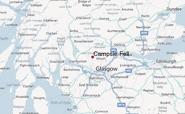
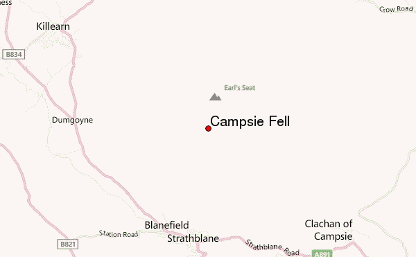
Campsie Fell Guide
- Elevation: 543
- Difficulty: Walk up
- Best months to climb: January, February, March, April, May, June, July, August, September, October, November, December
- Convenient center: Lennoxtown
Campsie Fell climbers Notes
Combineboy007 from UNITED KINGDOM writes:
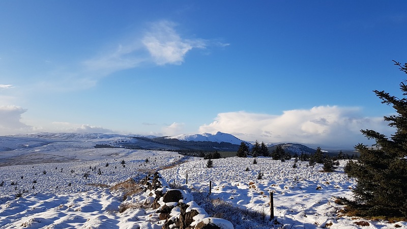
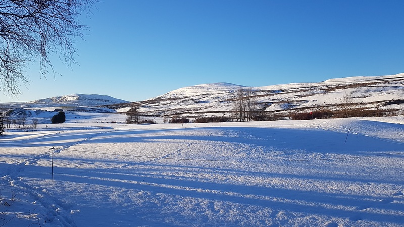
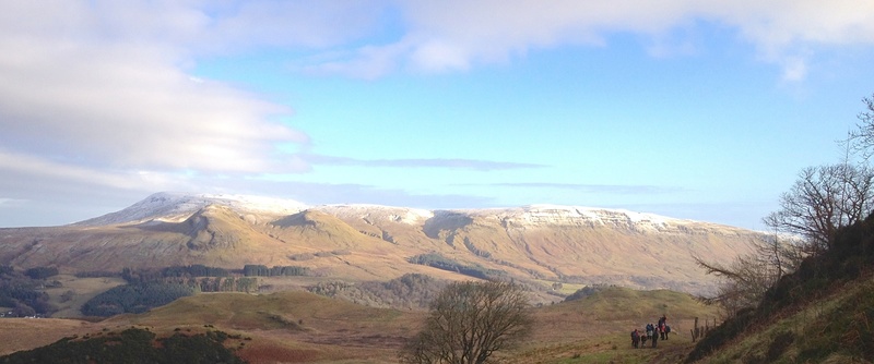
We walked up Earls Seat from Killearn. Short walk through some beautiful woods, across some boggy heather and then a great track. Steep bit near top. Lovely walk.
2025-09-03 |
Click here to submit your own climbing note for Campsie Fell
|
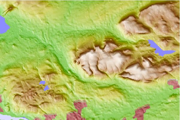
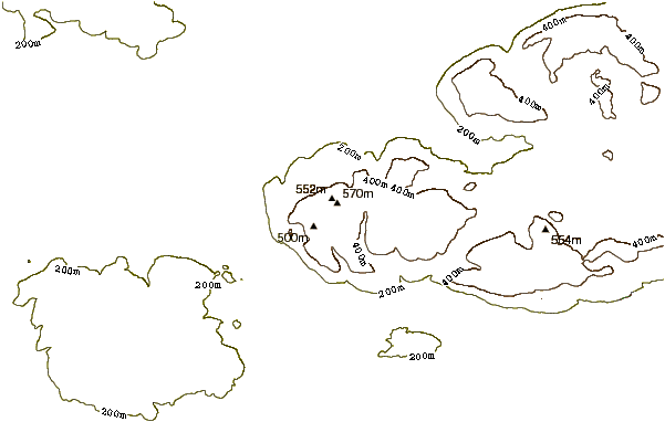
Select Campsie Fell Location Map Detail:
Use this relief map to navigate to mountain peaks in the area of Campsie Fell.
10 other mountain peaks closest to Campsie Fell:
 Campsie Fell – Climbing, Hiking & Mountaineering information

