Matthew McCann from UNITED KINGDOM writes:
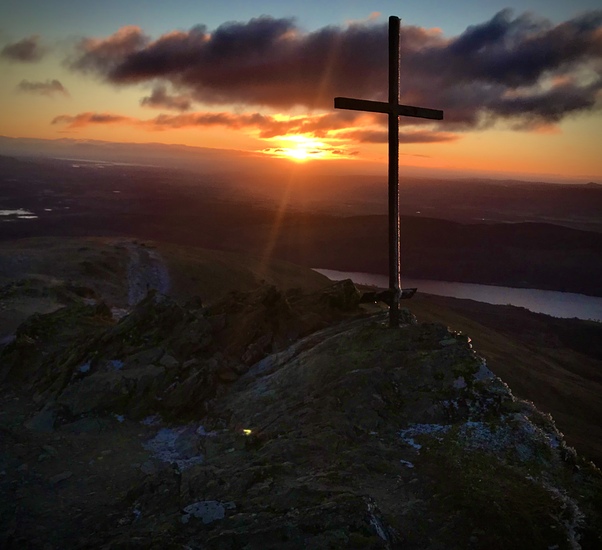
This morning (Saturday) at 07:50 beginning of walk, moderate drizzle of rain, patches of snow still on the ground, path easily negotiable but ground mostly frozen, so still slippy. From 300 meters weather deteriorates quickly, temperature drops to freezing, visibility poor and path becoming increasingly obscure. At 600 meters it is not for the faint hearted, stinging hail hitting you in the face at speed, path becoming very difficult to tread (if you can find it), winds approaching gale-force possibly. At 600-800 meters, it is a white-out, very difficult going and very dangerous. We halted our ascent as visibility was down to about 5 meters and we were in extreme danger of getting lost.
Don't let the somewhat mild weather at the bottom of the walk fool you, this is one angry and bitter hill today. Good luck everyone and safe journeying everyone.
Matt
2018-03-10 |
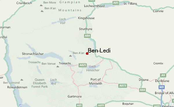
 Ben Ledi – Climbing, Hiking & Mountaineering information