Aso Guide
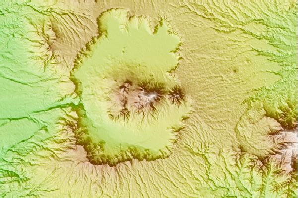
Aso
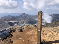
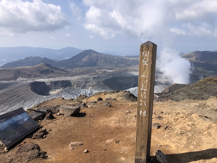
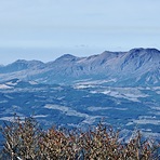
Photo credit: Shinji bando
- Elevation: 1592
- Difficulty: -
- Best months to climb: -
- Convenient center: -
Aso climbers Notes
Vol. Fire Fighter Rene St-Laurent from JAPAN writes:
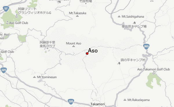
Location Minami Aso Choyo, South Side of Aso Near Aso Bridge,
Climbing Aso will be unsafe in the region for several days.
Please stay clear of Aso until further notice. Landslides have occurred in several places. 10 homes washed away in Tateno Village; two deceased. extremely unsafe for hiking camping ect..
Posted by Volunteer Fire Fighter Rene Saint-Laurent 14Bundan Choyo Area Minami Aso.
2012-07-16 |
Click here to submit your own climbing note for Aso
|
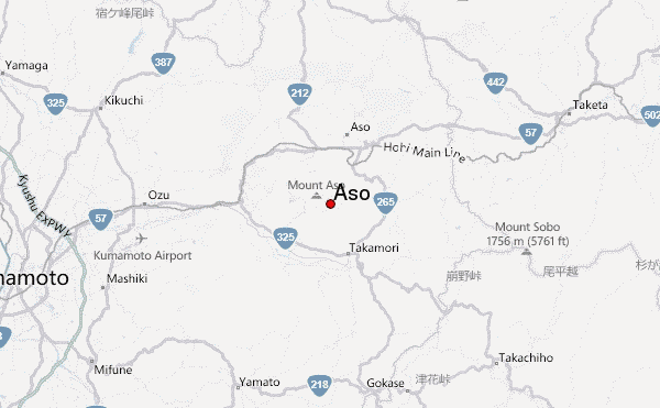
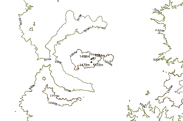
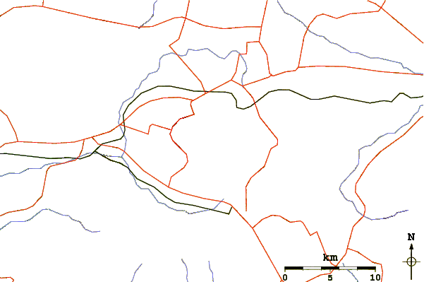
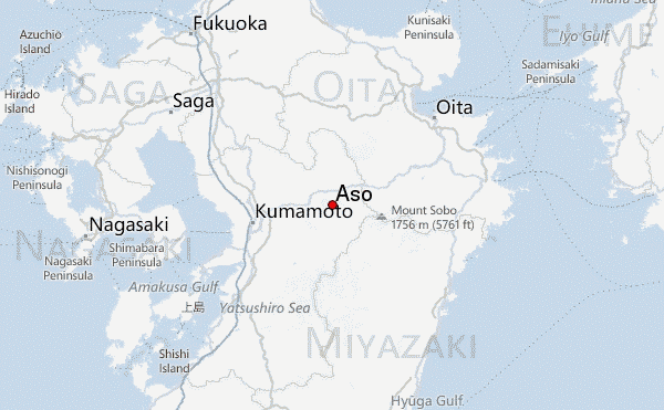
Select Aso Location Map Detail:
Use this relief map to navigate to mountain peaks in the area of Aso.
10 other mountain peaks closest to Aso:
 Aso – Climbing, Hiking & Mountaineering information