Kirishima Guide
- Elevation: 1700
- Difficulty: -
- Best months to climb: -
- Convenient center: -
Kirishima climbers Notes
Greg Evans from JAPAN writes:
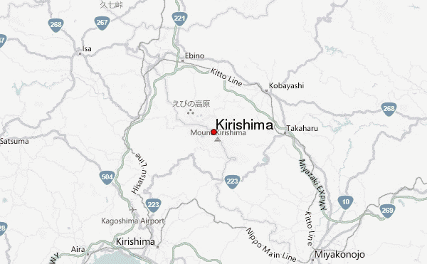
Easy access to the Kirishima range from the town of Ebino (north of Kagoshima). There is a large campsite and several facilities nearby. Hiking routes are clearly marked and can be accessed from the campsite and surrounding roads. The whole range is an active volcanic area and part of it may be closed due to volcanic activity. At the time of writing (6 Jan 2011) the area around Shinmoedake is closed but the other peaks are accessible. The trails are easily traversed year-round but care should be taken during winter months when the trails ice up. As with the rest of Kyushu, there are many onsen spas that draw their heat geothermally.
2011-01-06 |
Click here to submit your own climbing note for Kirishima
|
Select Kirishima Location Map Detail:
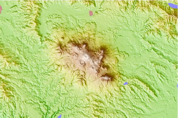
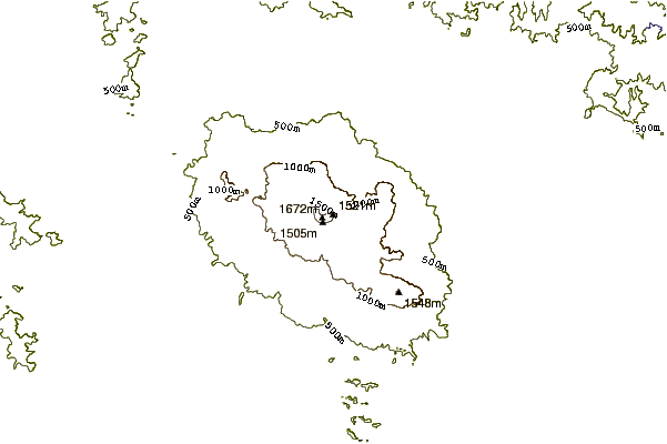
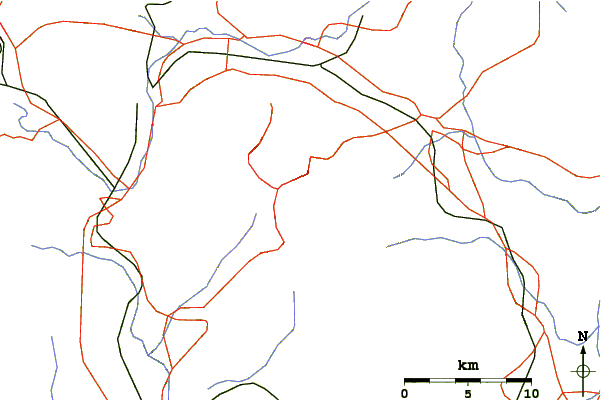
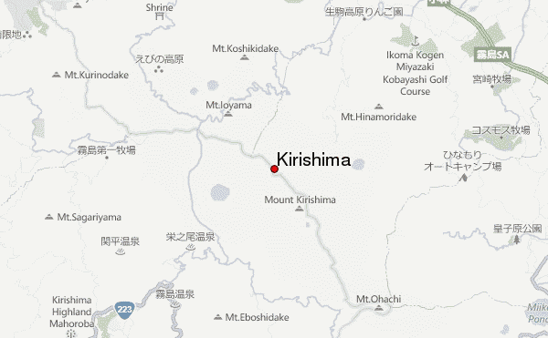
Use this relief map to navigate to mountain peaks in the area of Kirishima.
10 other mountain peaks closest to Kirishima:
 Kirishima – Climbing, Hiking & Mountaineering information
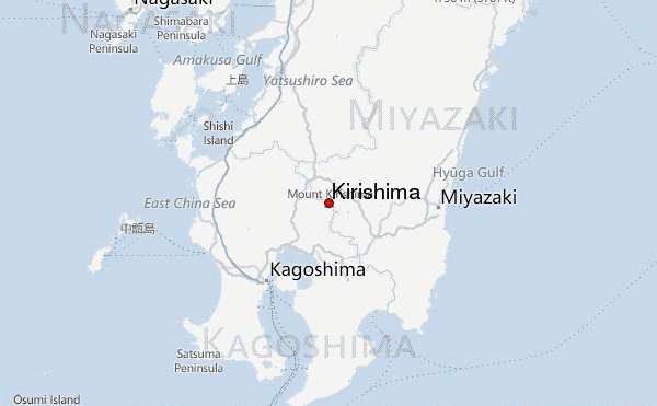