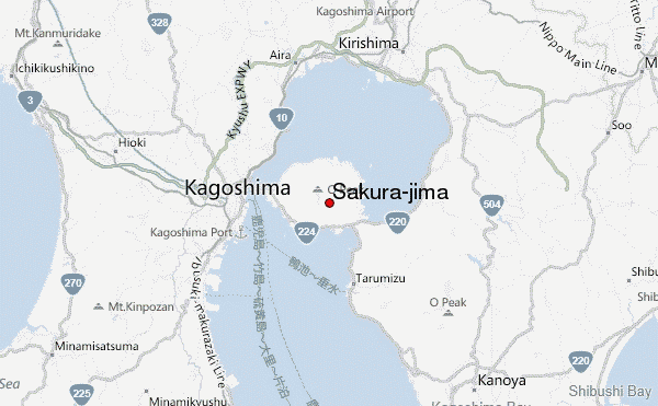
– Lat/Long: 31.58° N 130.67° E
 Sakura-jima – Climbing, Hiking & Mountaineering information

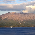
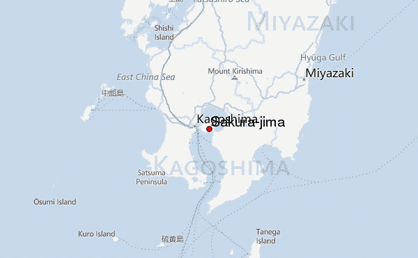
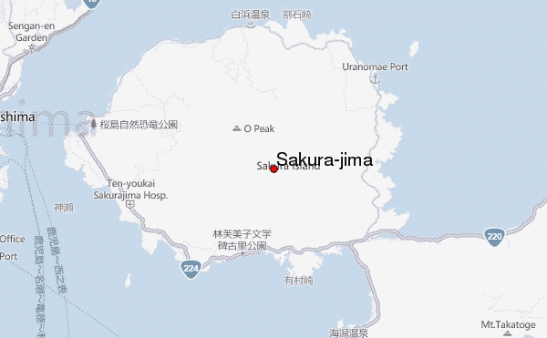
Sakura-jima Guide
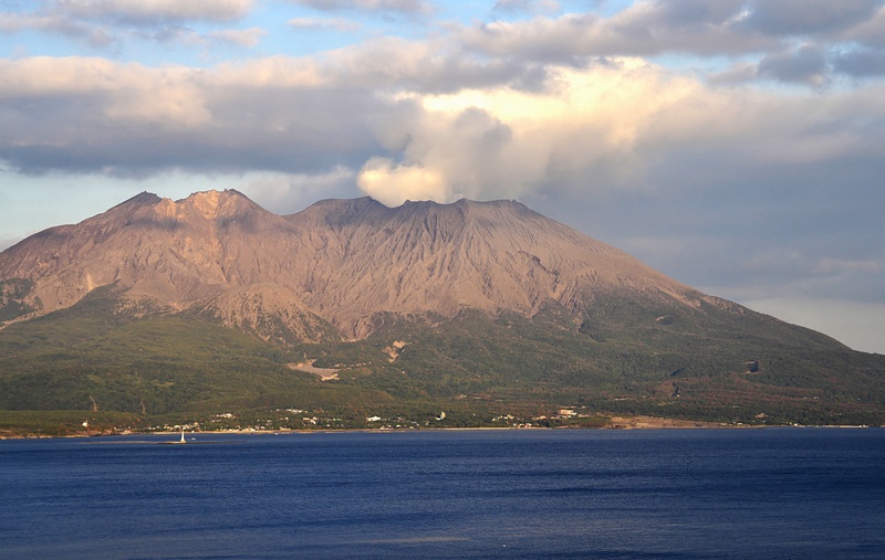
- Elevation: 1117
- Difficulty: -
- Best months to climb: -
- Convenient center: -
Sakura-jima climbers NotesBe the first to submit your climbers note! Please submit any useful information about climbing Sakura-jima that may be useful to other climbers. Consider things such as access and accommodation at the base of Sakura-jima, as well as the logistics of climbing to the summit. |
| Select a
mountain summit from the menu |
||
|
Select a Mountain Summit
|
||
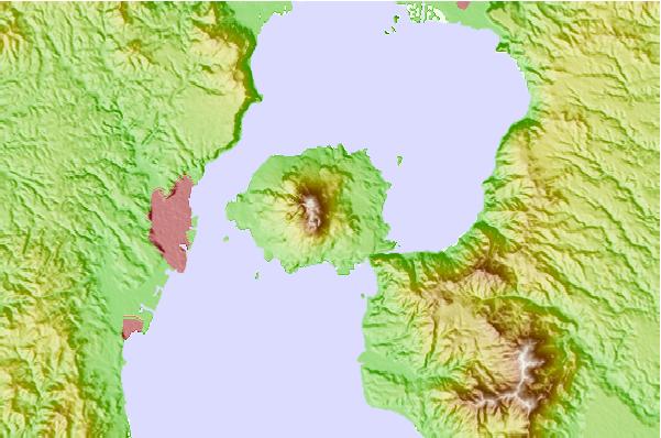
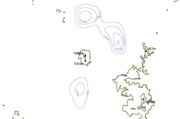
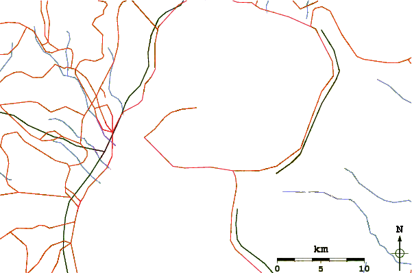
Use this relief map to navigate to mountain peaks in the area of Sakura-jima.
10 other mountain peaks closest to Sakura-jima:
| 1. | Shinmoedake (1421 m) | 42.1 km |
| 2. | Kirishima (1700 m) | 43.3 km |
| 3. | Kaimondake volcano (924 m) | 46.5 km |
| 4. | Mount Iō (Iōjima) (704 m) | 94.2 km |
| 5. | Kuchinoerabujima (657 m) | 134.0 km |
| 6. | Unzen (1359 m) | 134.8 km |
| 7. | Aso (1592 m) | 150.2 km |
| 8. | Mount Sobo (1756 m) | 152.8 km |
| 9. | Kuju Group (1788 m) | 175.6 km |
| 10. | 湯の平温泉 (1270 m) | 177.5 km |