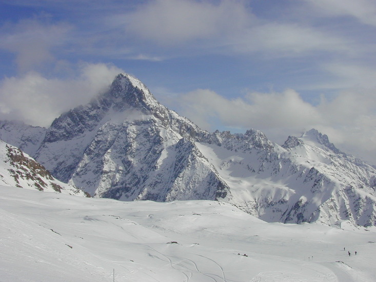
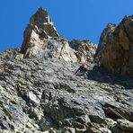
Aiguille du Plat de la Selle Guide
- Elevation: 3596
- Difficulty: -
- Best months to climb: -
- Convenient center: -
Aiguille du Plat de la Selle climbers Notes
malain from FRANCE writes:
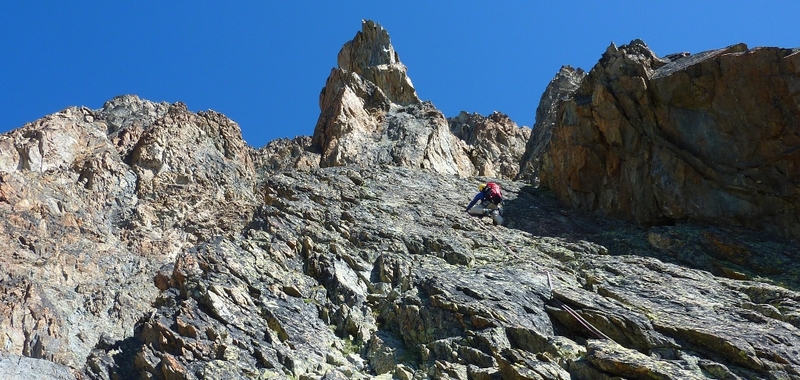
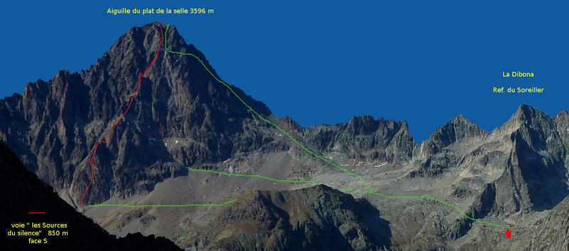
“There's a new route,called " Les Sources du Silence" well equipped to access the summit. It's 850 m high, south face , 6a oblig. 33 lg. You can find all informations in the topo on my blog : search " plat de la selle topo wordpress sources du silence " on google .
Just enjoy and respect the "silence" ... A so important thing for human ! No motor noise... just the sound of human and nature...
Sorry for my poor English but welcome!”
2013-03-24 |
Click here to read 1 more climbing note for Aiguille du Plat de la Selle or submit your own
|
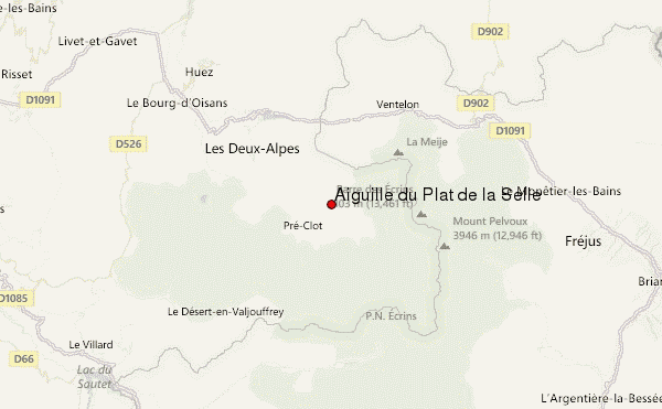
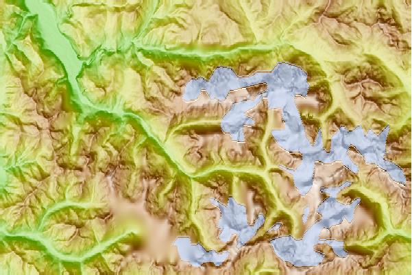
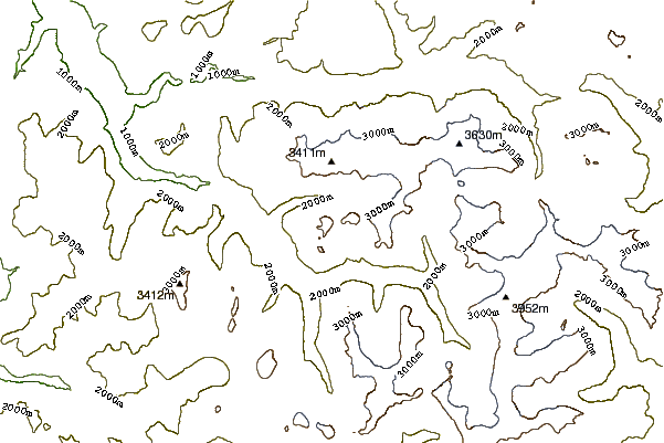
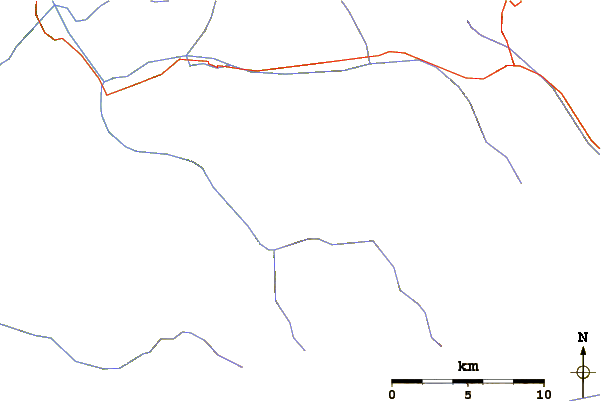
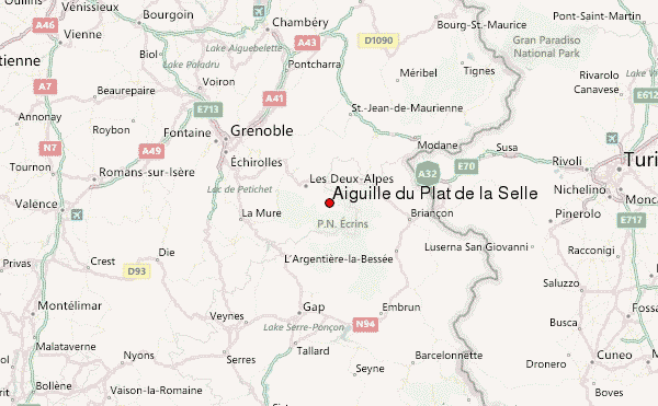
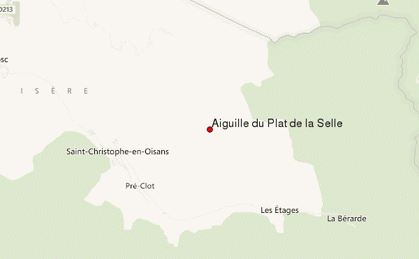
Select Aiguille du Plat de la Selle Location Map Detail:
Use this relief map to navigate to mountain peaks in the area of Aiguille du Plat de la Selle.
10 other mountain peaks closest to Aiguille du Plat de la Selle:
 Aiguille du Plat de la Selle – Climbing, Hiking & Mountaineering information