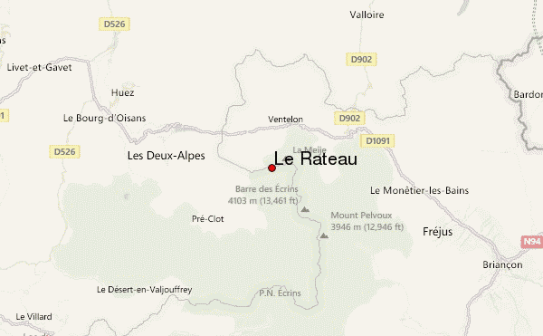
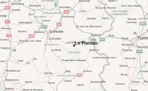
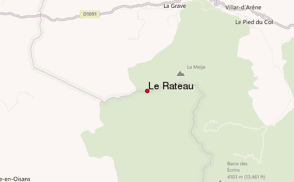
– Lat/Long: 45.00° N 6.28° E
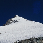
 Le Râteau (Le Rateau) – Climbing, Hiking & Mountaineering information

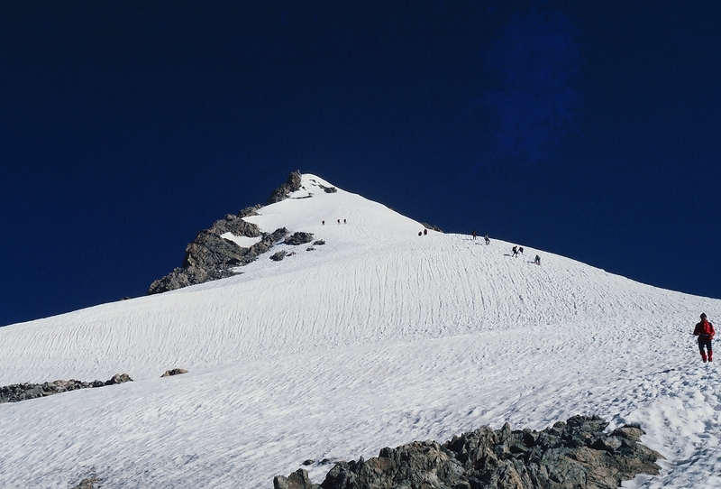
Le Râteau Guide
- Elevation: 3809
- Difficulty: -
- Best months to climb: -
- Convenient center: -
Le Râteau climbers NotesBe the first to submit your climbers note! Please submit any useful information about climbing Le Râteau that may be useful to other climbers. Consider things such as access and accommodation at the base of Le Râteau, as well as the logistics of climbing to the summit. |
| Select a
mountain summit from the menu |
||
|
Select a Mountain Summit
|
||
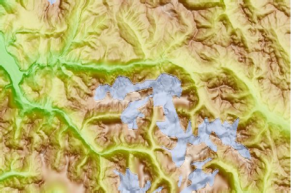
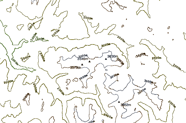
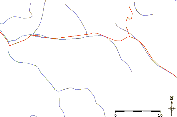
Use this relief map to navigate to mountain peaks in the area of Le Râteau.
10 other mountain peaks closest to Le Râteau:
| 1. | Meije (3982 m) | 1.3 km |
| 2. | Refuge du Promontoire (3092 m) | 1.6 km |
| 3. | Pic Gaspard (3883 m) | 3.7 km |
| 4. | Aiguille Dibona (3130 m) | 5.3 km |
| 5. | Tête du Rouget (3418 m) | 5.4 km |
| 6. | Grande Ruine (3765 m) | 5.4 km |
| 7. | Soreiller hut (2719 m) | 5.5 km |
| 8. | Aiguille du Plat de la Selle (3596 m) | 6.3 km |
| 9. | Roche Faurio (3730 m) | 8.6 km |
| 10. | Pic De Neige Cordier (3614 m) | 9.7 km |