Torre (Serra da Estrela) Guide
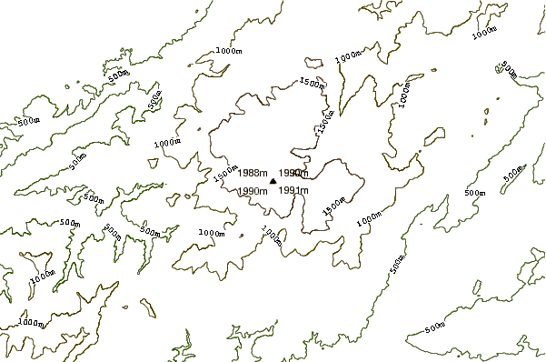
- Elevation: 1993
- Difficulty: -
- Best months to climb: -
- Convenient center: -
Torre (Serra da Estrela) climbers Notes
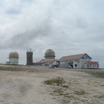
Carlos from PORTUGAL writes:
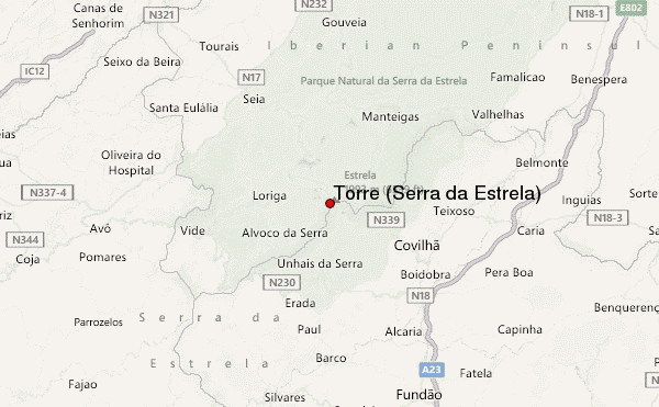
The access to the Torre is not difficult because you can access it by car coming from Seia, Covilhã or Manteigas. In winter, the snow cuts access until the snow cleaners appear.
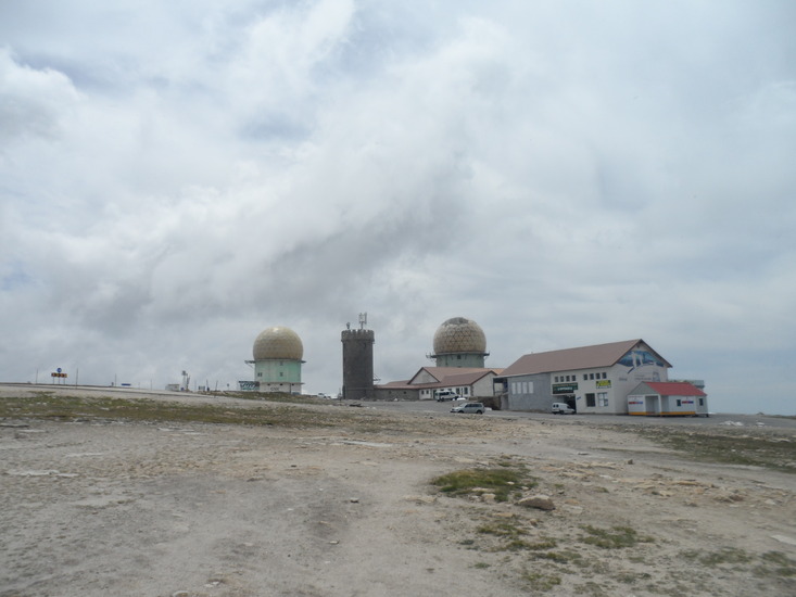
At Torre you have a restaurant and stores filled with local products as cheese, honey, ham and other delicacies and a ski/snowboad park.
In Spring time and Summer you can enjoy trekking around.
2014-10-21 |
Click here to submit your own climbing note for Torre (Serra da Estrela)
|
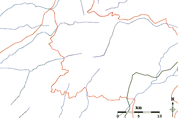
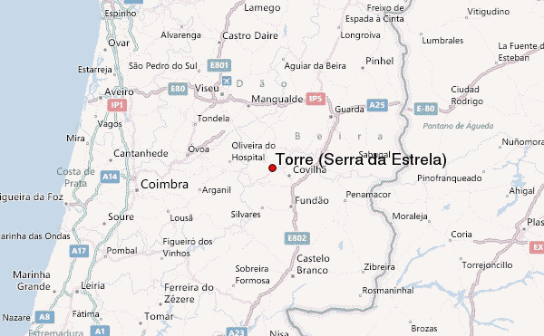
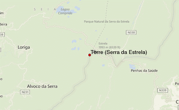
Select Torre (Serra da Estrela) Location Map Detail:
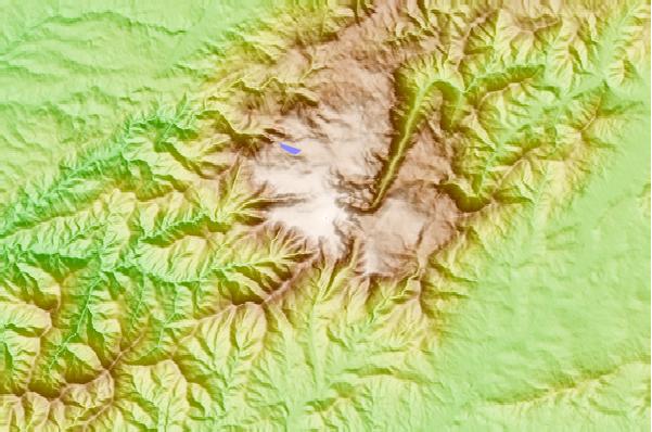
Use this relief map to navigate to mountain peaks in the area of Torre (Serra da Estrela).
10 other mountain peaks closest to Torre (Serra da Estrela):
 Torre (Serra da Estrela) – Climbing, Hiking & Mountaineering information