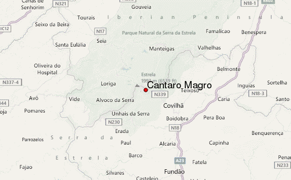
– Lat/Long: 40.32° N 7.58° W
 Cântaro Magro (Cantaro Magro) – Climbing, Hiking & Mountaineering information

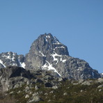
Cântaro Magro Guide
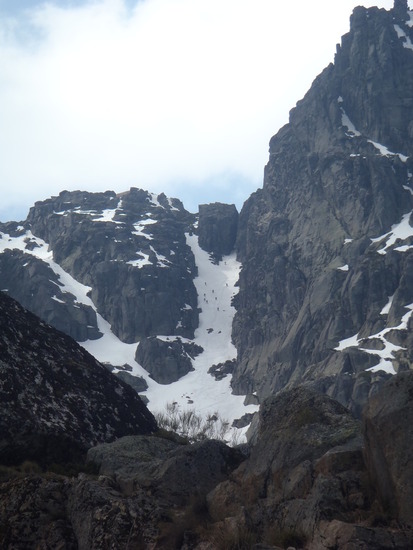
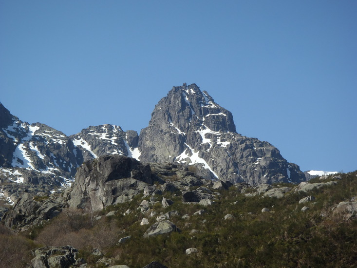
- Elevation: 1928
- Difficulty: Walk up
- Best months to climb: April, May, June, July, August, September, October, November
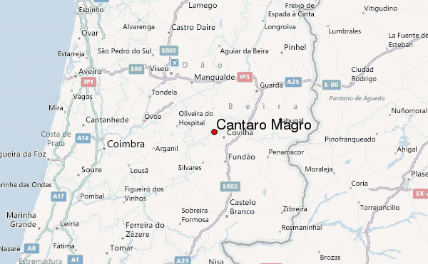
- Convenient center: covilha (11km)
Cântaro Magro climbers NotesBe the first to submit your climbers note! Please submit any useful information about climbing Cântaro Magro that may be useful to other climbers. Consider things such as access and accommodation at the base of Cântaro Magro, as well as the logistics of climbing to the summit. |
| Select a
mountain summit from the menu |
||
|
Select a Mountain Summit
|
||
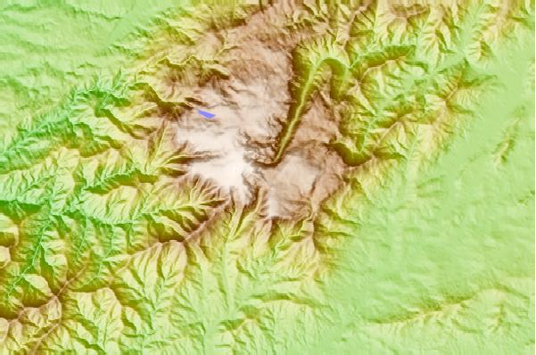
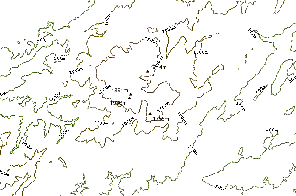
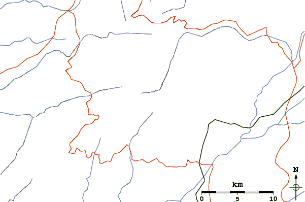
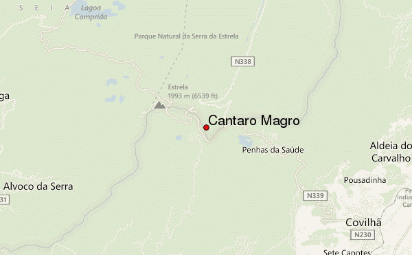
Use this relief map to navigate to mountain peaks in the area of Cântaro Magro.
10 other mountain peaks closest to Cântaro Magro:
| 1. | Torre (Serra da Estrela) (1993 m) | 2.6 km |
| 2. | Serra Da Estrela (1993 m) | 2.6 km |
| 3. | Louzanpark (935 m) | 62.2 km |
| 4. | Refugio CHOPERA (787 m) | 76.0 km |
| 5. | Refugio PINUELA II LA (1036 m) | 130.7 km |
| 6. | Refugio REGOLLAR (933 m) | 131.6 km |
| 7. | Refugio REGAJERA (539 m) | 134.5 km |
| 8. | Refugio PICO CERVERO (1465 m) | 139.4 km |
| 9. | Refugio DAHESA LA (1025 m) | 140.8 km |
| 10. | Refugio HONFRIA (1135 m) | 141.1 km |