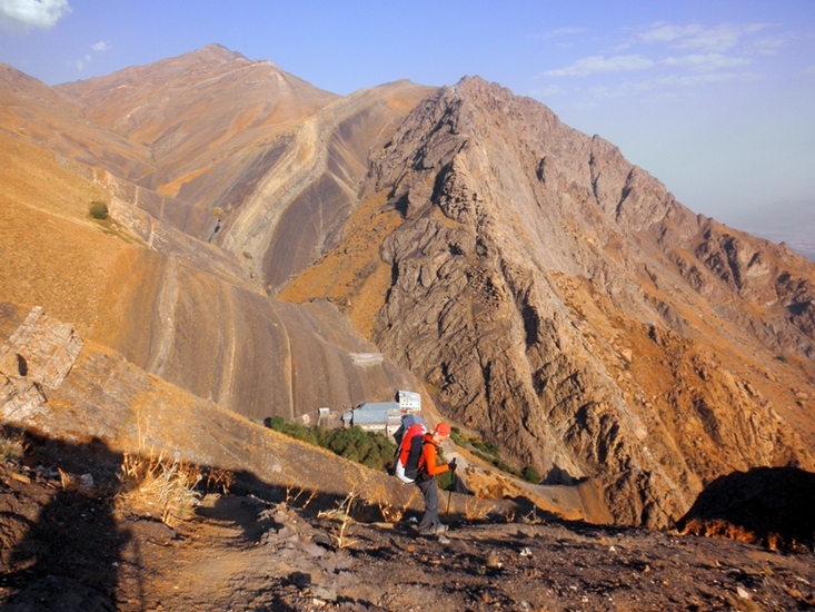
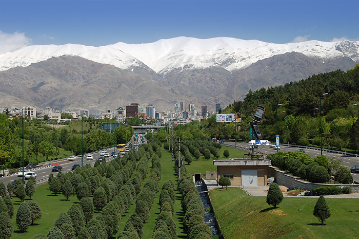
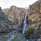
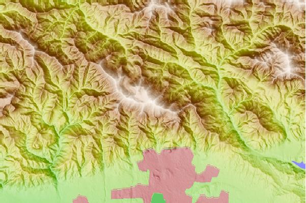
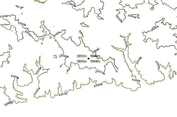
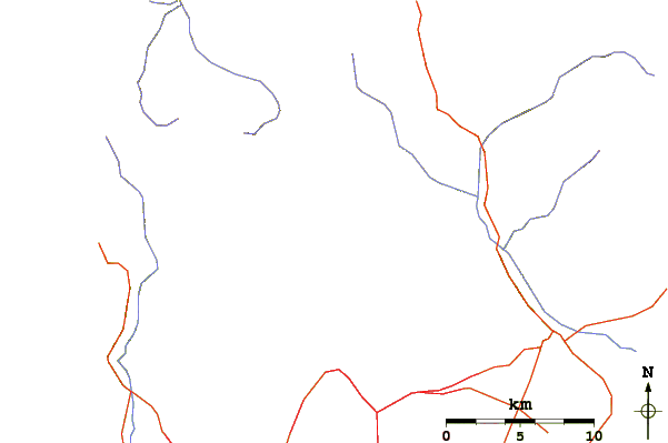
In summer, start very early morning from Darband, (around 1800m elevation), while temperatures are reasonable. The first 3 km of the trail lead along a creek past an abundance of restaurants. After the restaurants the fun begins. A fairly steep and well prepared trail leads up to Shir Pala shelter (about 2750m), past several waterfalls. Here is a good place to eat your breakfast. There is a restaurant also and, if you want to do the climb in two days, you can sleep here.
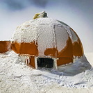
From here go west up a ridge until you see the signpost to Tochal peak. Follow the trail up the ridge. There is shelter, Amiri, at 3400m. Continue to the top where you find another shelter.
Climbing times are about 2-2.5 hours from Darband to Shir Pala. 3.5-6 hours from Shir Pala to the peak.
From the peak you can walk down to 7th station of the telecabin, but in summer this only operates erratically on thursdays and friday afternoons. Call ahead and check.
Water is to be had at Shir Pala and Amiri shelters.
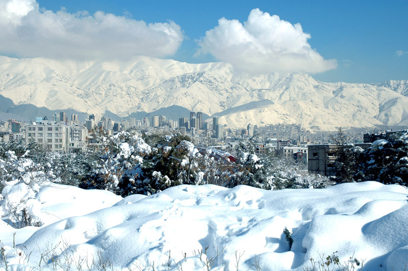
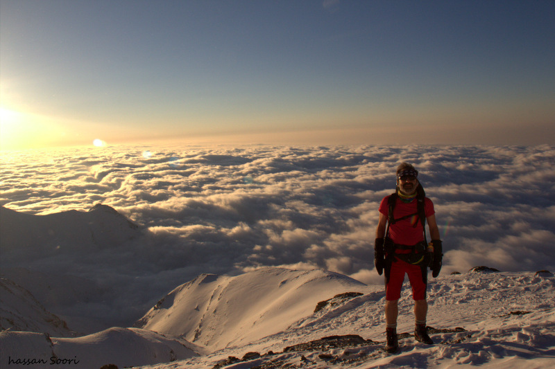
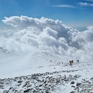
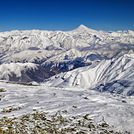
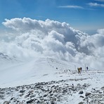
Check the weather report before hiking up, as conditions can become very harsh. Also the visibility at the top can be very bad some days, partly because of the smog from Tehran, and partly because of desert carried pushed into the mountains by the wind. On clear days the views of the surrounding mountains and especially Damavand are fantastic.
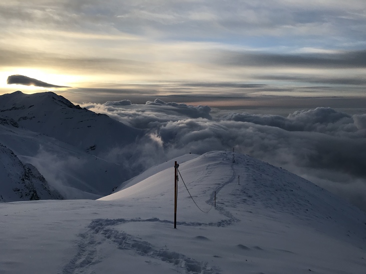
For winter climbing, the trail is marked above 3000m by snow sticks.
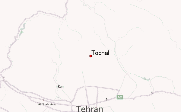
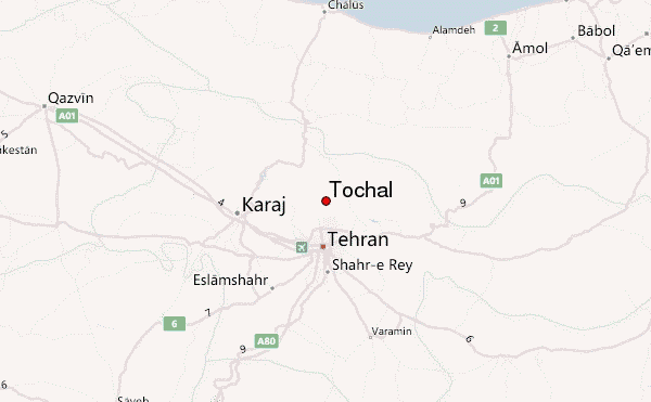
 Tochal – Climbing, Hiking & Mountaineering information