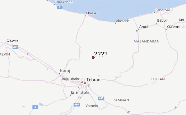
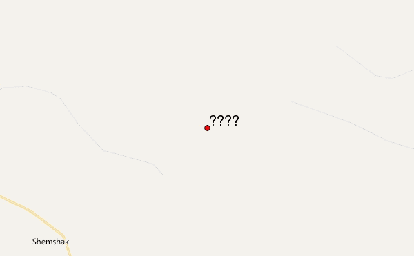
– Lat/Long: 36.06° N 51.55° E
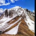
 خلنو (Kholeno or Khole-no) – Climbing, Hiking & Mountaineering information

خلنو Guide
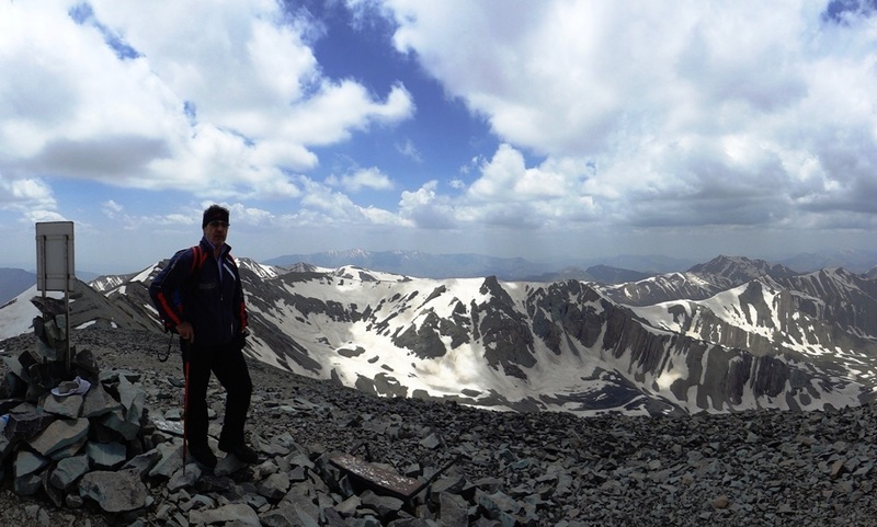
- Elevation: 4375
- Difficulty: Technical Climb
- Best months to climb: July, August
- Convenient center: Tehran
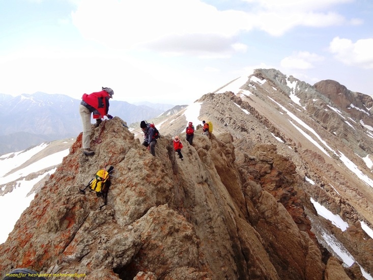
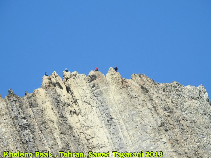
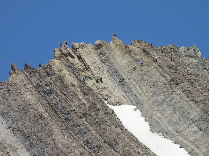
A u shaped ridge easy climming, can continue on this ridge to other similar peaks, such as AZAD KOOH ,only two hours from Tehran.
خلنو climbers NotesBe the first to submit your climbers note! Please submit any useful information about climbing خلنو that may be useful to other climbers. Consider things such as access and accommodation at the base of خلنو, as well as the logistics of climbing to the summit. |

| Select a
mountain summit from the menu |
||
|
Select a Mountain Summit
|
||
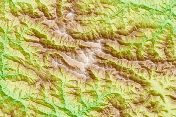
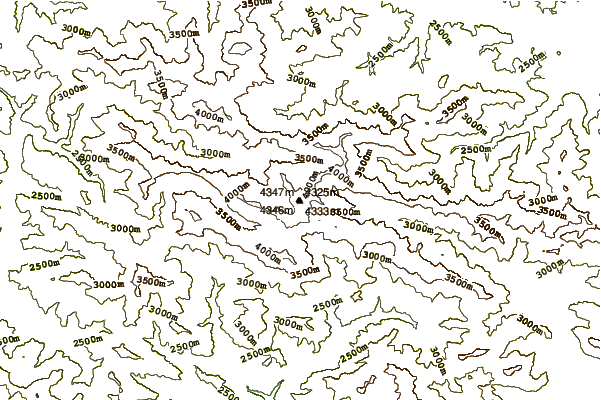
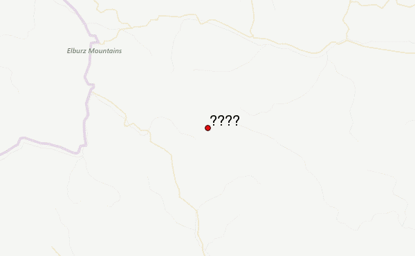
Use this relief map to navigate to mountain peaks in the area of خلنو.
10 other mountain peaks closest to خلنو:
| 1. | Borj (4325 m) | 1.3 km |
| 2. | Kolun Bastak (کلونبستک) (4180 m) | 7.9 km |
| 3. | آزاد کوه (4390 m) | 12.4 km |
| 4. | Rizan (3550 m) | 22.6 km |
| 5. | Touchal (3964 m) | 23.3 km |
| 6. | Tochal (3964 m) | 23.4 km |
| 7. | Kolakchal (3300 m) | 24.5 km |
| 8. | Bande Eysh (2766 m) | 34.3 km |
| 9. | Damavand (دماوند) (5670 m) | 51.7 km |
| 10. | چالون (4516 m) | 61.5 km |