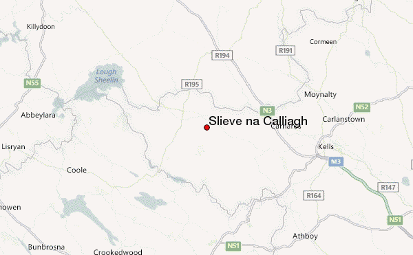
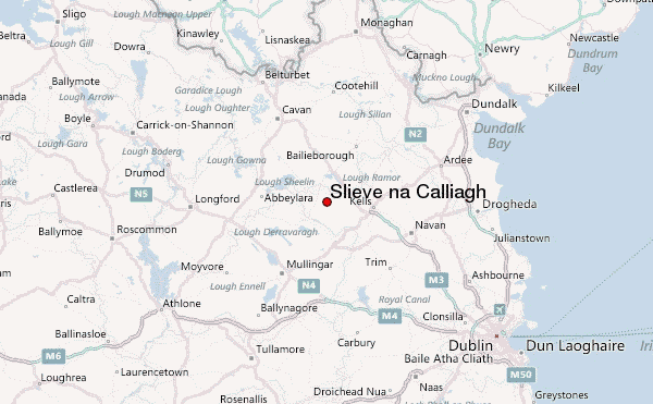
– Lat/Long: 53.75° N 7.12° W
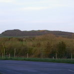
 Slieve na Calliagh – Climbing, Hiking & Mountaineering information

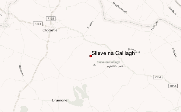
Slieve na Calliagh Guide
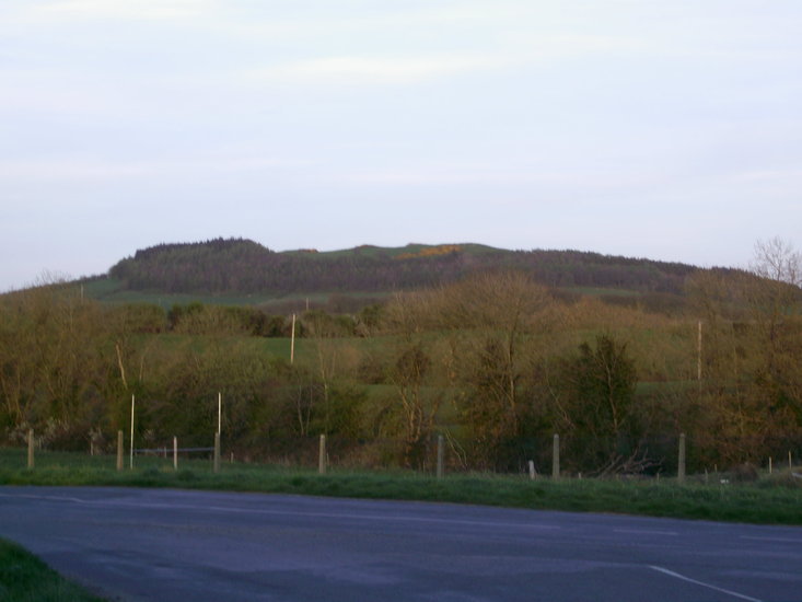
- Elevation: 279
- Difficulty: -
- Best months to climb: -
- Convenient center: -
Slieve na Calliagh climbers Notes
Click here to submit your own climbing note for Slieve na Calliagh |
| Select a
mountain summit from the menu |
||
|
Select a Mountain Summit
|
||
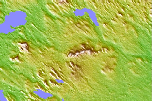
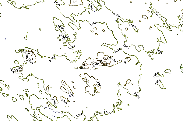
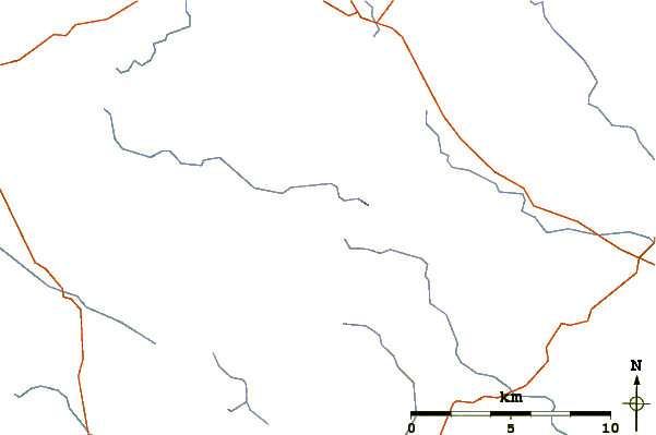
Use this relief map to navigate to mountain peaks in the area of Slieve na Calliagh.
10 other mountain peaks closest to Slieve na Calliagh:
| 1. | Hill of Ben (191 m) | 9.9 km |
| 2. | Mullaghmeen (261 m) | 9.9 km |
| 3. | Randoon (125 m) | 13.6 km |
| 4. | Knockeyon (215 m) | 18.5 km |
| 5. | Hill of Ward (90 m) | 20.7 km |
| 6. | Hill of Tara (197 m) | 38.4 km |
| 7. | Carn Clonhugh (278 m) | 39.8 km |
| 8. | Croghan Hill (234 m) | 46.1 km |
| 9. | Naul Hills (122 m) | 58.3 km |
| 10. | Hill of Allen (206 m) | 60.4 km |