– Lat/Long: 54.19° N 5.98° W
 Slieve Bearnagh – Climbing, Hiking & Mountaineering information

Slieve Bearnagh Guide

- Elevation: 739
- Difficulty: Walk up
- Best months to climb: January, February, April, May, June, July, August, September, October, November, December
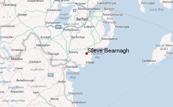
- Convenient center: Newcastle
Slieve Bearnagh climbers NotesBe the first to submit your climbers note! Please submit any useful information about climbing Slieve Bearnagh that may be useful to other climbers. Consider things such as access and accommodation at the base of Slieve Bearnagh, as well as the logistics of climbing to the summit. |
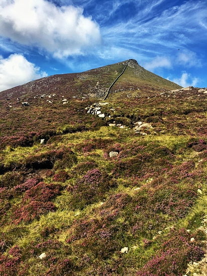
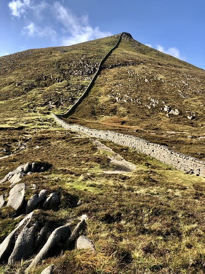
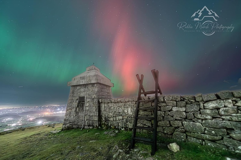
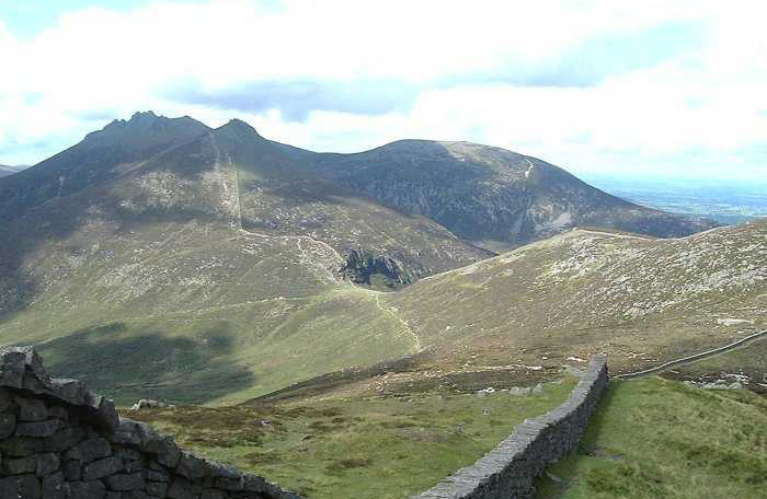
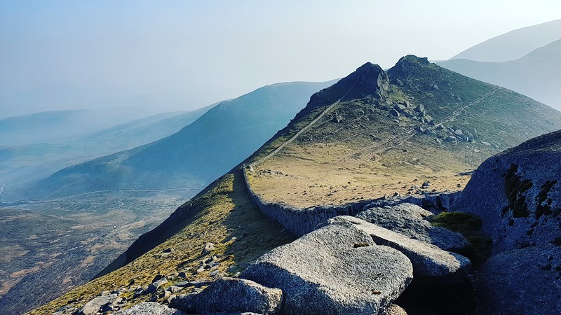
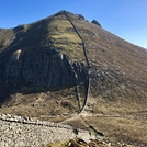
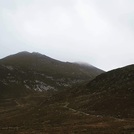
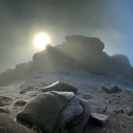
Latest Gallery Images for Slieve Bearnagh


| Select a
mountain summit from the menu |
||
|
Select a Mountain Summit
|
||
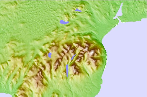
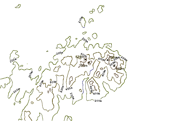
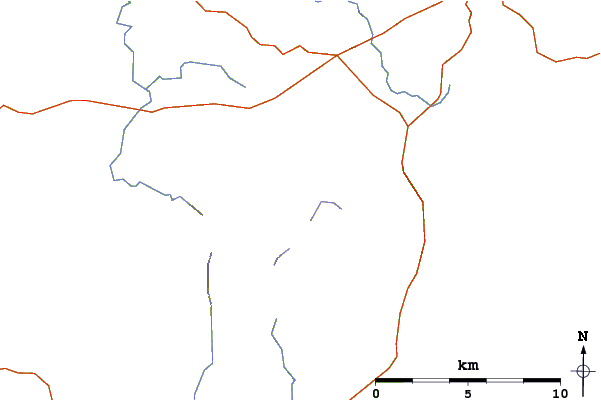
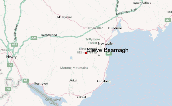
Use this relief map to navigate to mountain peaks in the area of Slieve Bearnagh.
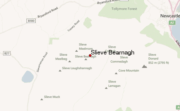
10 other mountain peaks closest to Slieve Bearnagh:
| 1. | Slieve Commedagh (767 m) | 3.0 km |
| 2. | Slieve Donard (850 m) | 4.2 km |
| 3. | Slieve Binnian (747 m) | 5.1 km |
| 4. | Slieve Croob (534 m) | 15.1 km |
| 5. | Slieve Foy (588 m) | 20.1 km |
| 6. | Slieve Gullion (573 m) | 29.8 km |
| 7. | Divis (478 m) | 46.8 km |
| 8. | Cavehill (370 m) | 51.2 km |
| 9. | Naul Hills (122 m) | 71.0 km |
| 10. | Slemish (437 m) | 77.5 km |