krist0ph3r from UNITED KINGDOM writes:
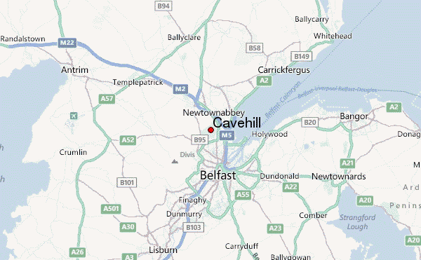
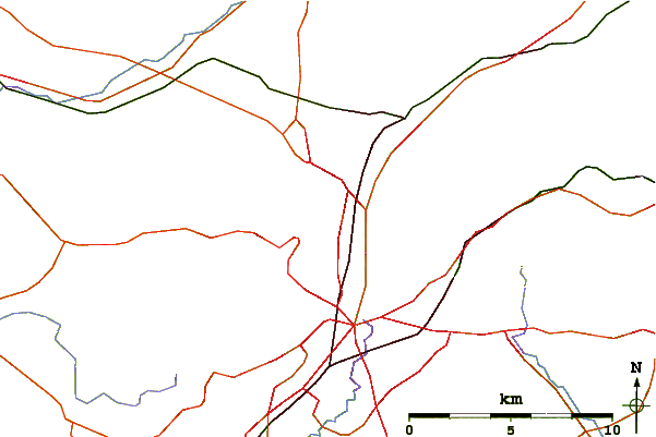
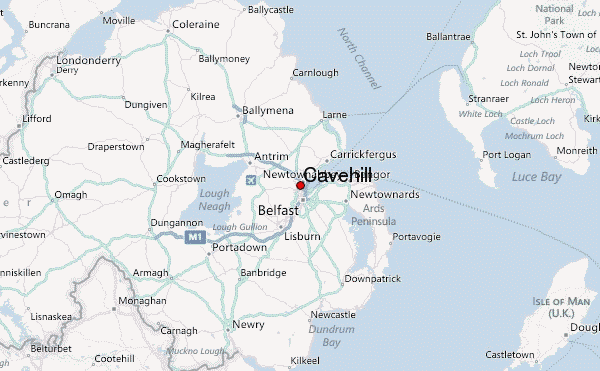
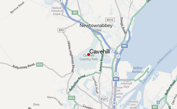
Cavehill is an easy hike, conveniently located on the outskirts of Belfast. Cavehill country park has various entrances:
1. Belfast Castle: This is the most commonly used entrance, as it has 3 car parks, public toilets and a coffee shop, and a bus stop 1 km away.
2. Upper Cavehill road: There are two entrances to Cavehill from the end of this road, with a short length of on-street parking nearby, and a bus stop and convenience store very nearby.
3. Belfast zoo: There is a large public car park here, but this route is not commonly used and might be overgrown at times. Bus stop is about 600m away.
4. Upper Hightown road: There is a small area to park near the entrance. No facilities or bus routes nearby. This is the shortest and easiest route up.
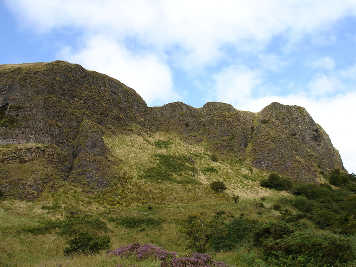
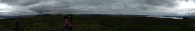
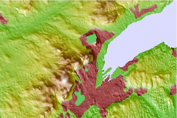
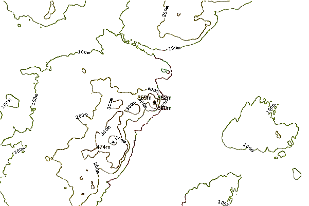
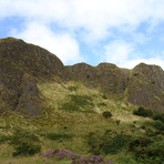
Within the country park, there are multiple routes of varying lengths and difficulty levels to the top, which is called McArt's fort. One of the routes takes you past the cave that cavehill owes its name to, but the cave itself is not safe to climb into, and the route is quite steep, albeit safe for an experienced mountain hiker. Most routes would take up to an hour to hike each way - some are noticeably shorter. Not all trails are well marked, although it's quite hard to get lost in good light, as all paths converge when headed up.
2021-10-05 |
 Cavehill – Climbing, Hiking & Mountaineering information