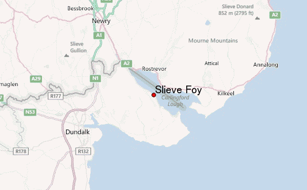
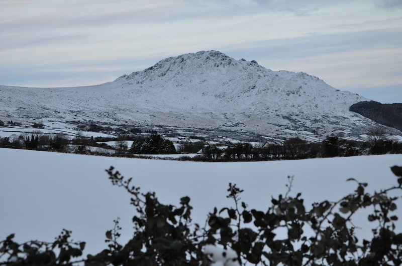
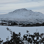
Slieve Foy Guide
- Elevation: 588
- Difficulty: -
- Best months to climb: -
- Convenient center: -
Slieve Foy climbers Notes
Archie Murphy from IRELAND writes:
Can be approached from Glenmore, easiest route. Also can be approached from Carlingford. Plenty of accommodation here. Few different routes from Carlingford village. Preferably going up by slate rock then on up to saddle and turn right up through valley and right on up to summit. Also by slate rock and a right turn after this up through another valley. Good tough climb.
Can be approached by climbing up by the tree line. Tough as no path.
2012-07-09 |
Click here to submit your own climbing note for Slieve Foy
|
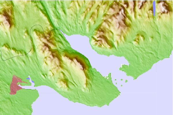
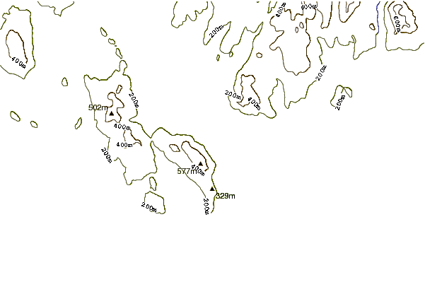
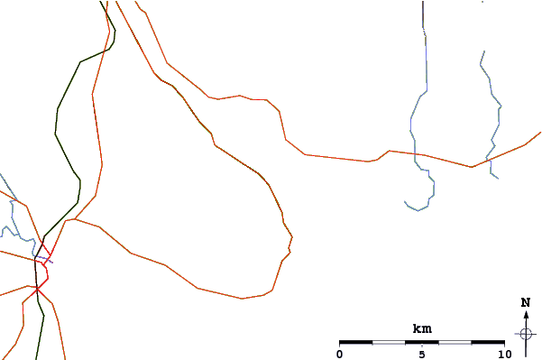
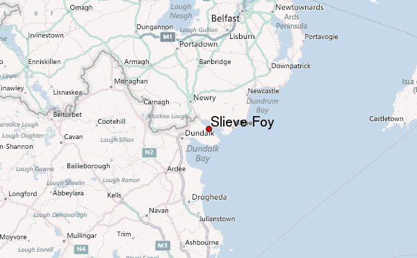
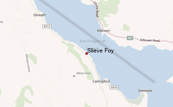
Select Slieve Foy Location Map Detail:
Use this relief map to navigate to mountain peaks in the area of Slieve Foy.
10 other mountain peaks closest to Slieve Foy:
 Slieve Foy – Climbing, Hiking & Mountaineering information