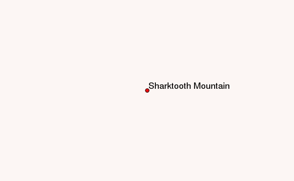
– Lat/Long: 58.59° N 127.96° W
 Sharktooth Mountain – Climbing, Hiking & Mountaineering information

Sharktooth Mountain Guide
- Elevation: 2668
- Difficulty: -
- Best months to climb: -
- Convenient center: -
Sharktooth Mountain climbers NotesBe the first to submit your climbers note! Please submit any useful information about climbing Sharktooth Mountain that may be useful to other climbers. Consider things such as access and accommodation at the base of Sharktooth Mountain, as well as the logistics of climbing to the summit. |
| Select a
mountain summit from the menu |
||
|
Select a Mountain Summit
|
||
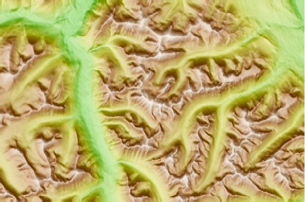
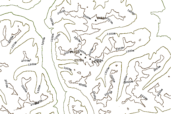
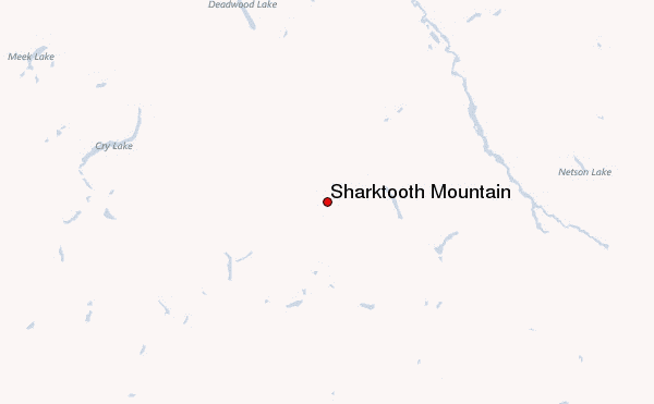
Use this relief map to navigate to mountain peaks in the area of Sharktooth Mountain.
10 other mountain peaks closest to Sharktooth Mountain:
| 1. | Dark Mountain (1974 m) | 85.8 km |
| 2. | Thudaka Peak (2748 m) | 98.3 km |
| 3. | Dome Mountain (2031 m) | 98.4 km |
| 4. | South Tuya (1829 m) | 131.9 km |
| 5. | Mount Josephine (British Columbia) (1767 m) | 136.5 km |
| 6. | Castle Rock (volcano) (1862 m) | 155.8 km |
| 7. | Cottonwood Peak (1640 m) | 159.3 km |
| 8. | Tuya Butte (1685 m) | 161.8 km |
| 9. | Ash Mountain (British Columbia) (2125 m) | 165.0 km |
| 10. | Tutsingale Mountain (1722 m) | 170.0 km |