– Lat/Long: 57.84° N 130.21° W
 Castle Rock (volcano) – Climbing, Hiking & Mountaineering information

Castle Rock (volcano) Guide
- Elevation: 1862
- Difficulty: -
- Best months to climb: -
- Convenient center: -
Castle Rock (volcano) climbers NotesBe the first to submit your climbers note! Please submit any useful information about climbing Castle Rock (volcano) that may be useful to other climbers. Consider things such as access and accommodation at the base of Castle Rock (volcano), as well as the logistics of climbing to the summit. |
| Select a
mountain summit from the menu |
||
|
Select a Mountain Summit
|
||
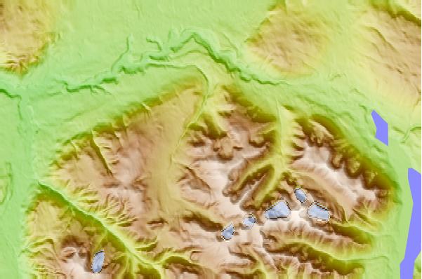
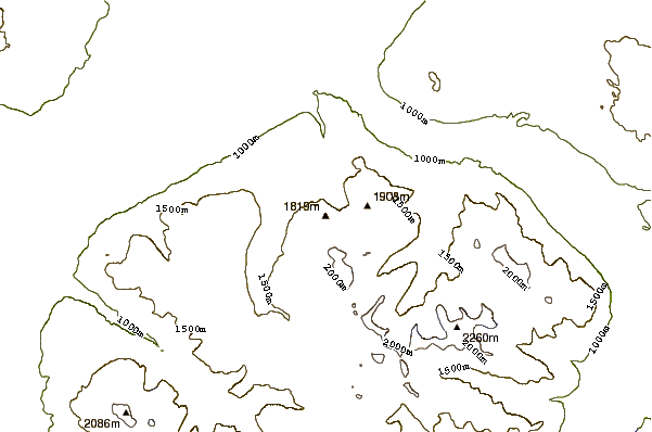
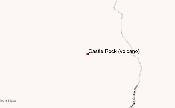
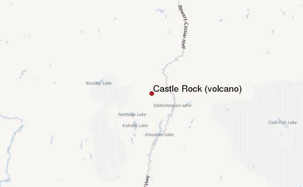
Use this relief map to navigate to mountain peaks in the area of Castle Rock (volcano).
10 other mountain peaks closest to Castle Rock (volcano):
| 1. | The Pyramid (volcano) (2199 m) | 22.8 km |
| 2. | Williams Cone (2080 m) | 24.1 km |
| 3. | Sidas Cone (1543 m) | 25.0 km |
| 4. | Eve Cone (1702 m) | 27.5 km |
| 5. | Pillow Ridge (2400 m) | 27.8 km |
| 6. | Mount Edziza (2786 m) | 28.4 km |
| 7. | Mount Edziza volcanic complex (2787 m) | 28.8 km |
| 8. | The Neck (British Columbia) (1830 m) | 29.1 km |
| 9. | Tsekone Ridge (1929 m) | 29.6 km |
| 10. | Ice Peak (2526 m) | 30.3 km |