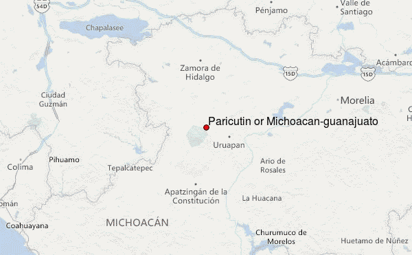
– Lat/Long: 19.49° N 102.25° W
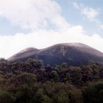
 Paricutin or Michoacan-guanajuato – Climbing, Hiking & Mountaineering information

Paricutin or Michoacan-guanajuato Guide
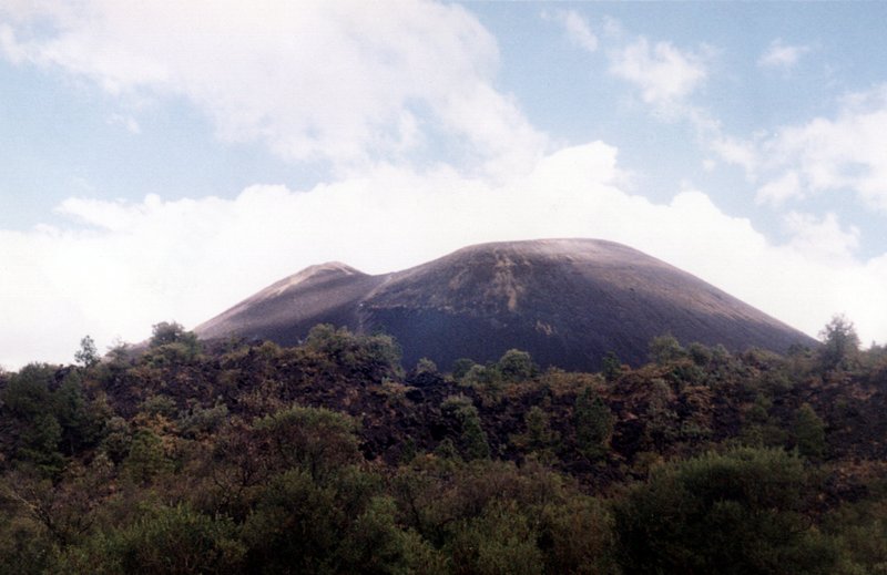
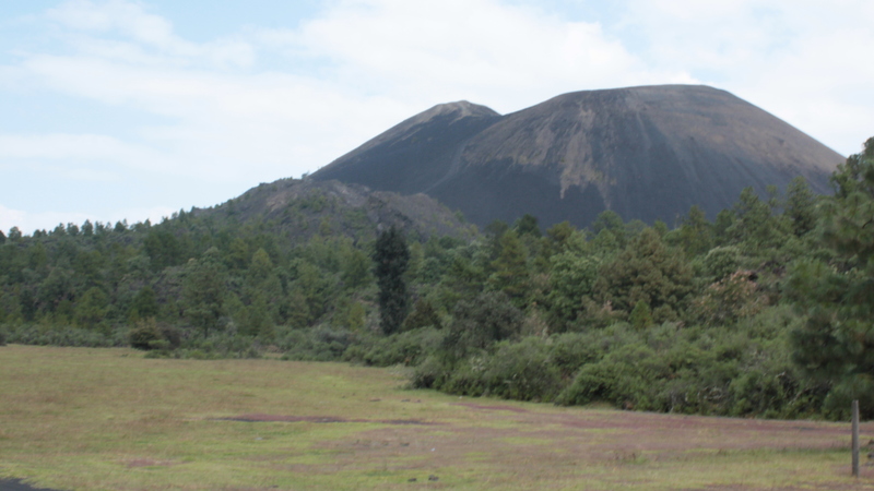
- Elevation: 2800
- Difficulty: -
- Best months to climb: May, June, July
- Convenient center: San Juan Parangaricutiro
Paricutin or Michoacan-guanajuato climbers NotesBe the first to submit your climbers note! Please submit any useful information about climbing Paricutin or Michoacan-guanajuato that may be useful to other climbers. Consider things such as access and accommodation at the base of Paricutin or Michoacan-guanajuato, as well as the logistics of climbing to the summit. |
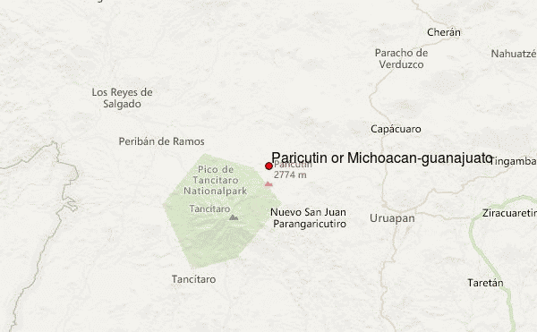
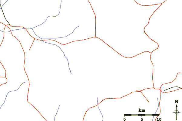
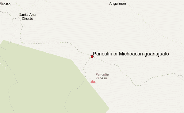
Select Paricutin or Michoacan-guanajuato Location Map Detail:
| Select a
mountain summit from the menu |
||
|
Select a Mountain Summit
|
||
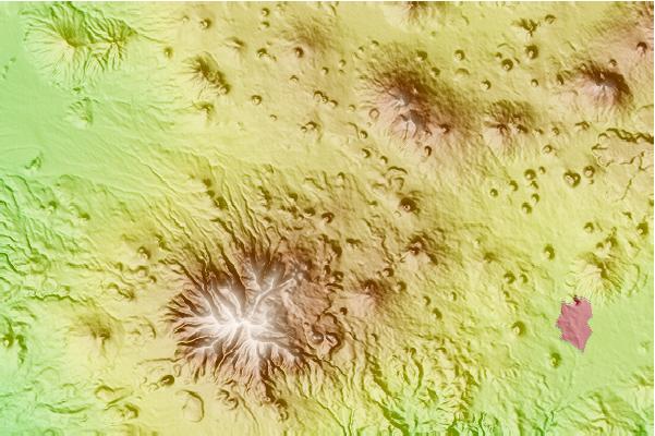
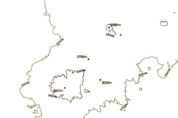
Use this relief map to navigate to mountain peaks in the area of Paricutin or Michoacan-guanajuato.
10 other mountain peaks closest to Paricutin or Michoacan-guanajuato:
| 1. | El Jorullo (1330 m) | 80.6 km |
| 2. | Nevado de Colima (4248 m) | 142.6 km |
| 3. | La Fragua Bike Park (2852 m) | 208.5 km |
| 4. | Cerro El Huehuentón (2529 m) | 218.7 km |
| 5. | Jocotitlan (3950 m) | 262.8 km |
| 6. | Nevado de Toluca (4632 m) | 264.4 km |
| 7. | Peña de Bernal (2510 m) | 278.2 km |
| 8. | Holotepec (3000 m) | 294.4 km |
| 9. | Volcan Ceboruco (2164 m) | 296.8 km |
| 10. | Camaleon Bike Park (3530 m) | 299.8 km |