Ruth from UNITED STATES writes:
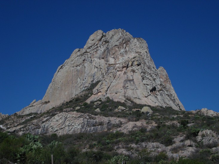
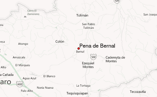
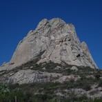
This was an easy walk up... probably between 2-3 hrs round trip, although there was a part where the walk ends and rock climbing (with harness etc.) begins... I didn't do that last part, so not sure how long or difficult that is. The town is really small and picturesque. It is one identified by the government as "Pueblo Magico" which means it meets the criteria (rich in culture, clean, safe, etc.)to be one of the highlighted tourist destinations in Mexico. Therefore, accommodations are really nice, and plenty to choose from (for its size) There are a few parking lots near the trailhead, and many little stands that sell food, drinks, supplies & souvenirs before you start up. There are many families that hike the trail, so everything is pretty well marked. Not much shade from what I remember, so take sunscreen & a hat!
2014-02-05 |
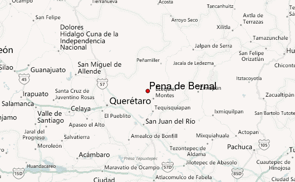
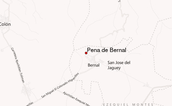
 Peña de Bernal (Pena de Bernal) – Climbing, Hiking & Mountaineering information