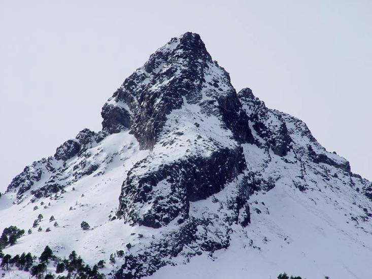
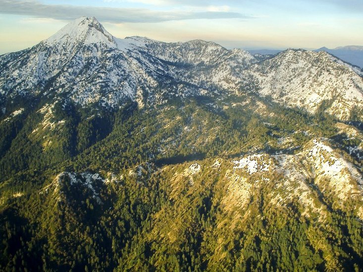
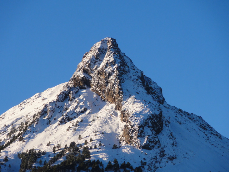
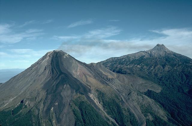
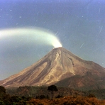
Nevado de Colima Guide
- Elevation: 4248
- Difficulty: Scramble
- Best months to climb: December, January, February, March, April
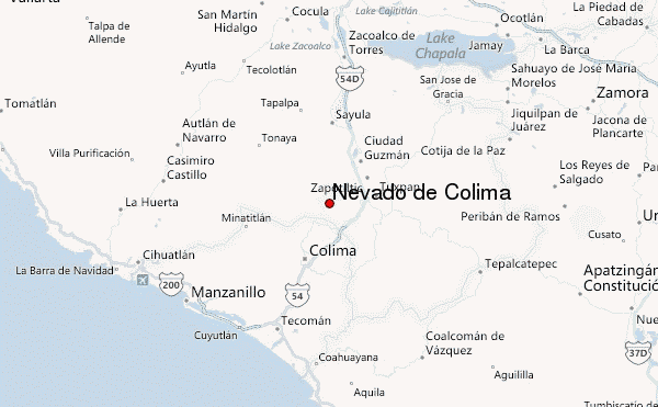
- Convenient center: Colima City, Mexico,
Nevado de Colima climbers Notes
Emmanuel Rubio from MEXICO writes:
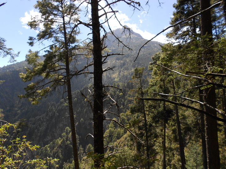
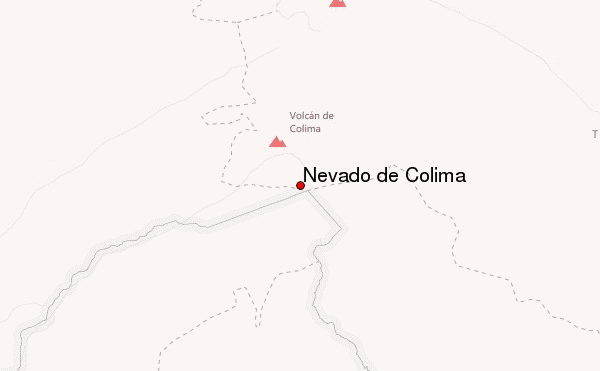
The convenient center is not Colima city, it´s Ciudad Guzmán (zapotlán el grande), it is located at 120km from Guadalajara International airport or 60km from colima domestic airport, if you wan't to hike the full mountain you must start at "fresnito" location, ther's a foodpath called "los tubos" that way goes directly to the mountain shelter called "La joya", it takes 5 to 6 hours, then you can climb up to the summit by the route "La J" it takes 3 to 4 hours to reach the summit south at 4,260msnm, it's an all season moutain, but it's better to climb in the dry season from september to may. also you can reach the shelter by car, you can take the road from Cd Guzman-El frenito-El grullo, after the fresnito location (500meters)there's the entrance to the NEVADO DE COLIMA NATIONAL PARK.
If you are thinking in climb this beautiful mountain you can contact me at: [email protected] or facebook: Rock Climbing
2012-01-30 |
Click here to submit your own climbing note for Nevado de Colima
|
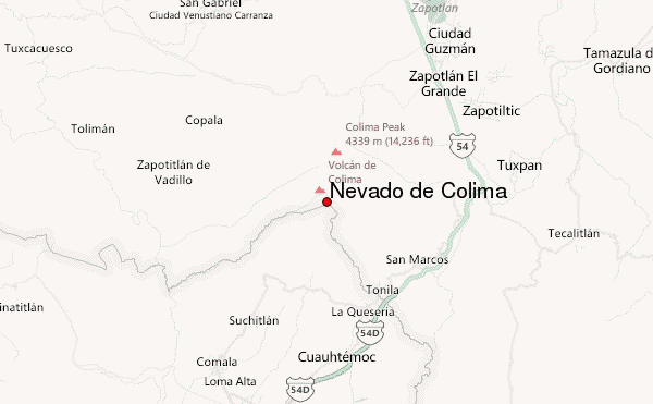
Select Nevado de Colima Location Map Detail:
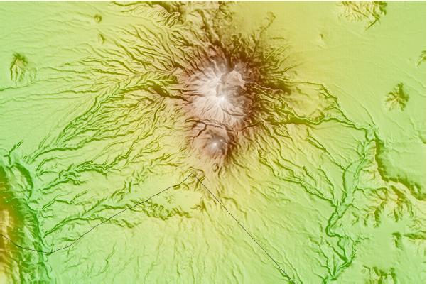
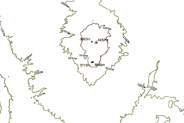
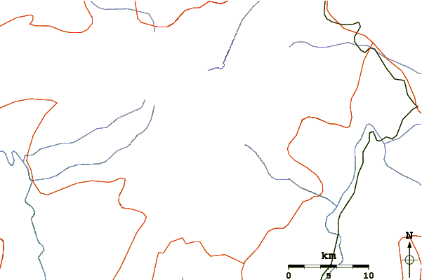
Use this relief map to navigate to mountain peaks in the area of Nevado de Colima.
10 other mountain peaks closest to Nevado de Colima:
 Nevado de Colima – Climbing, Hiking & Mountaineering information

